Topics > Northumberland > Holystone

Holystone


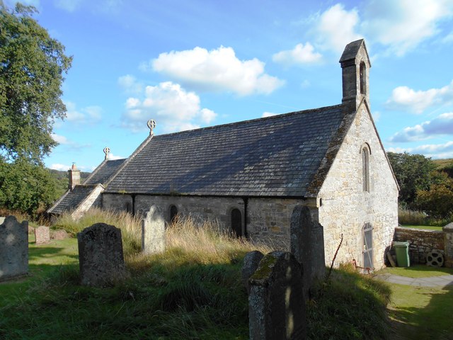
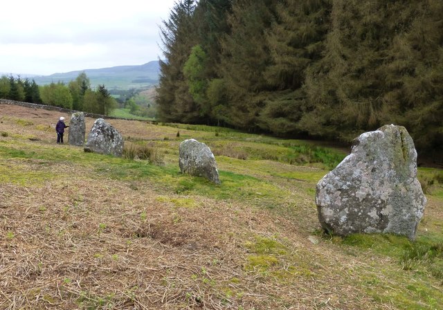
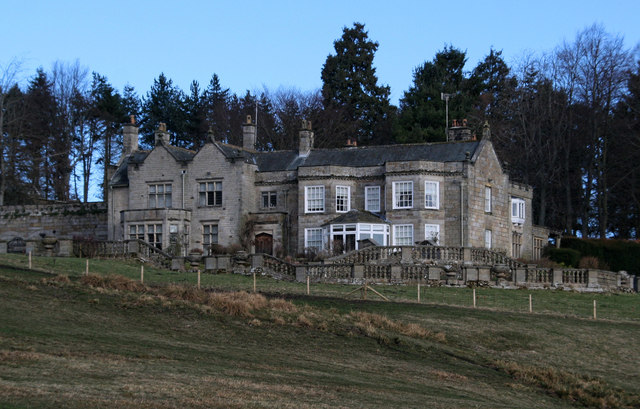
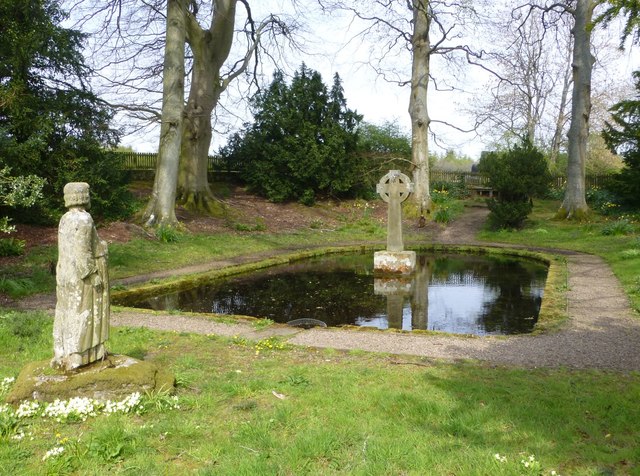
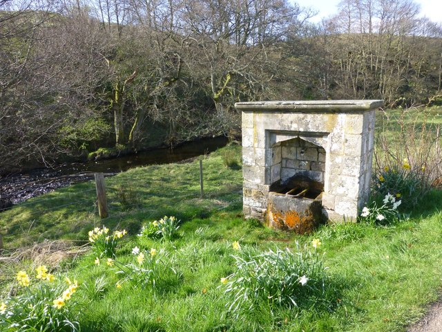
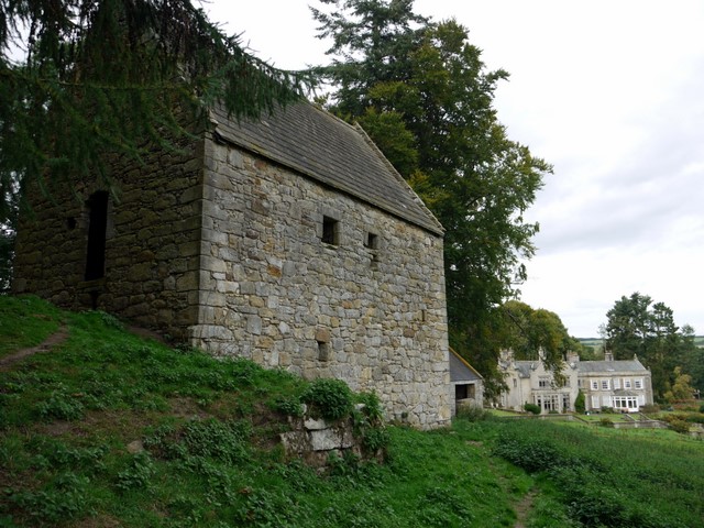
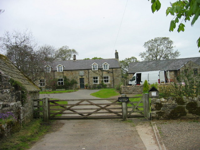
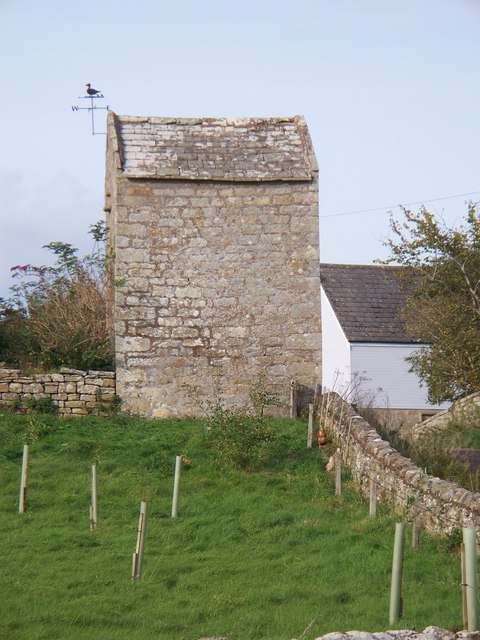
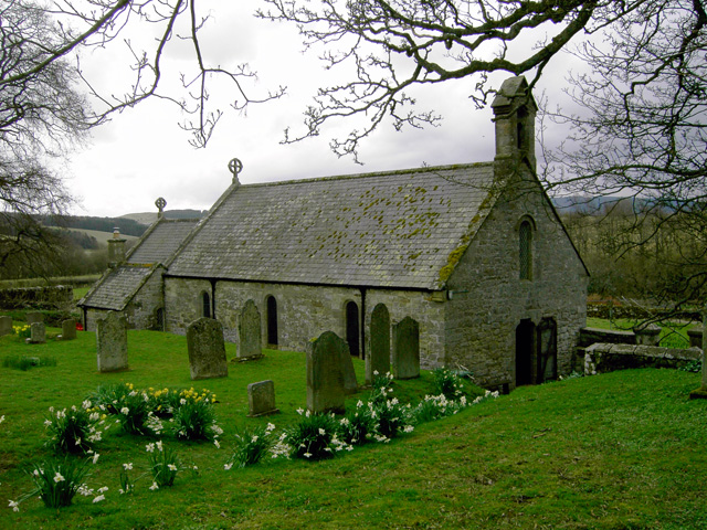
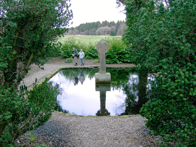
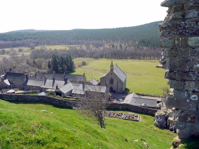
Holystone is a village in Northumberland, located by the River Coquet, about 2 miles south-east of Harbottle. To the north of the village is Lady's Well, restored in 1788, and thought to date back to Roman times.  St Mary's Church in Holystone dates back to the 12th century and St Mungo's Well from the early 19th century. Just over a mile to the south of the village is Holystone Grange, which has Woodhouse Bastle in its grounds. Also, nearby the 'Five Kings' sanding stones.

Holystone is a small village in Northumberland, England.

It lies on the edge of (and just within) the Northumberland National Park on the north bank of the River Coquet. A significant landmark is Holy Well, traditionally the site of early Christian baptisms, and the source of Holystone's water supply.

In the early 12th century Holystone became the home of a priory of Augustinian Canonesses. The priory buildings were demolished during the reformation in 1541.

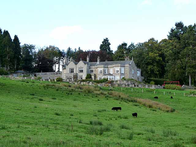
In 1903, Newcastle upon Tyne-based architect Frank West Rich purchased Dues Hill Grange and 3000 acres of land in Holystone, which he subsequently renovated.

Governance

Holystone is in the parliamentary constituency of Berwick-upon-Tweed.

Text from Wikipedia, available under the Creative Commons Attribution-ShareAlike License (accessed: 20/08/2017).
Visit the page: Holystone, Northumberland for references and further details. You can contribute to this article on Wikipedia.

Northumberland Holystone Parish, 1848 Sharperton Harbottle Civil Parish Holystone Burn Harbottle Church of St Mary Five Kings, near Holystone Holystone Grange Holystone, Northumberland, 1890 Lady's Well St Mungo's Well Woodhouses Bastle, Holystone Grange
from Geograph (geograph)
The Salmon Inn, Holystone

Pinned by Simon Cotterill
from Geograph (geograph)
Post Office, Holystone

Pinned by Simon Cotterill
from Geograph (geograph)
Holystone

Pinned by Simon Cotterill
from Geograph (geograph)
Holystone

Pinned by Simon Cotterill
from Geograph (geograph)
An interesting weather vane

Pinned by Simon Cotterill
from Geograph (geograph)
Duck Weather vane

Pinned by Simon Cotterill
from Geograph (geograph)
Lady's Well, among the trees.

Pinned by Simon Cotterill
from Geograph (geograph)
Holystone

Pinned by Simon Cotterill
from Geograph (geograph)
Holystone Church

Pinned by Simon Cotterill
from Geograph (geograph)
Lady's Well, Holystone

Pinned by Simon Cotterill
from Geograph (geograph)
The track to Lady's Well, Holystone

Pinned by Simon Cotterill
from Geograph (geograph)
Low building, Holystone

Pinned by Simon Cotterill
from Geograph (geograph)
Holystone Grange

Pinned by Simon Cotterill
Harbottle
  Co-Curate Page
Harbottle
- Overview About Harbottle Map Street View Harbottle is a village in Northumberland, located about 20 miles north-west of Morpeth, and situated by the River Coquet. To the west of the …

Comments

Add a comment or share a memory.

Login to add a comment. Sign-up if you don't already have an account.


ABOUT US

Co-Curate is a project which brings together online collections, museums, universities, schools and community groups to make and re-make stories and images from North East England and Cumbria. Co-Curate is a trans-disciplinary project that will open up 'official' museum and 'un-officia'l co-created community-based collections and archives through innovative collaborative approaches using social media and open archives/data.

LATEST SHARED RESOURCES