Topics > Northumberland > Civil Parishes in Northumberland > Whitton and Tosson Civil Parish
Whitton and Tosson Civil Parish
Area: 18.3 km²
Population:
186 (2021 Census)
219 (2011 Census)
223 (2001 Census)

from https://keystothepast.info/se…
Local History: Whitton and Tosson (Northumberland)
- "Tosson parish is an irregular shape and has a landscape that ranges from flat haugh lands to the Fell Sandstones. Archaeologically, there are a rich variety of sites and finds …
Added by
Simon Cotterill
Co-Curate Page
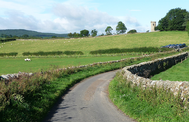
Whitton
- Overview Map Street View Whitton is a village in Northumberland, located near the River Coquet, less than half a mile south of Rothbury. Whitton Tower, dates from the 14th century, and …
Co-Curate Page
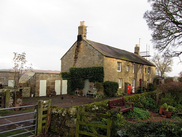
Great Tosson
- Overview Map Street View Great Tosson is a village in Northumberland, located about 2 miles south-west of Rothbury and half a mile south of Thropton. Within the village are the …
Co-Curate Page
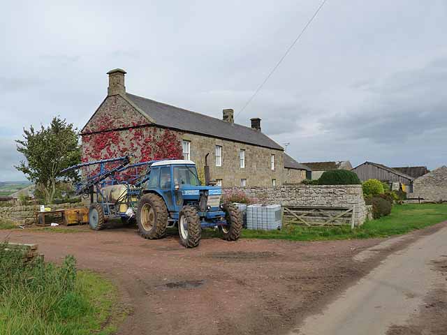
Little Tosson
- Overview Map Street View Little Tosson is a farming hamlet in Northumberland, located about 4½ miles west of Rothbury. Great Tosson is located 2 miles to the south east. Little …
Co-Curate Page
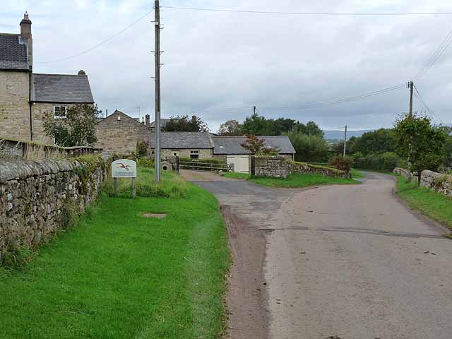
Newtown, Northumberland (near Rothbury)
- NEWTOWN, a township, in the parish and union of Rothbury, W. division of Coquetdale ward, N. division of Northumberland, 1½ mile (W.S.W.) from Rothbury; containing 57 inhabitants. It is situated …

Co-Curate Page
Allerdene
- Overview Map Street View Allerdene is a farm in Northumberland, located about 2 miles west of Rothbury and adjoins the hamlet of Ryehill. Allerdene farmhouse was built in the 18th …
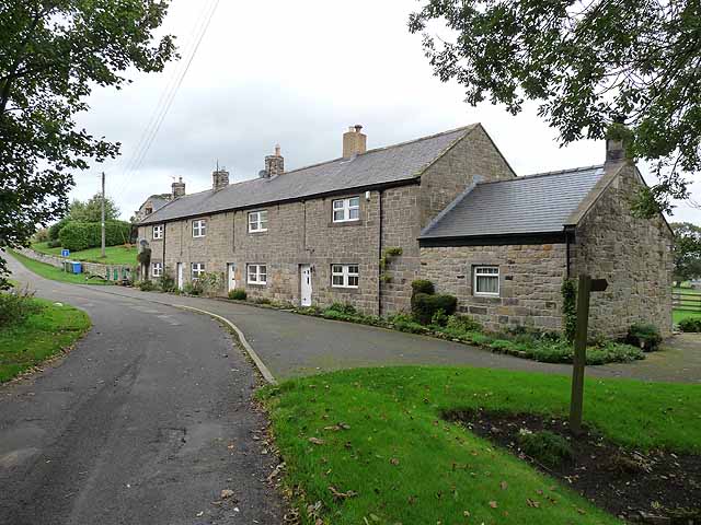
Co-Curate Page
Ryehill (Great Tosson)
- Overview Map Street View Ryehill is a hamlet, located about ½ mile north-west of Great Tosson, in Northumberland. In the past, the hamlet was part of a townhip called Great …


from https://keystothepast.info/se…
Local History: Whitton and Tosson (Northumberland)
- "Tosson parish is an irregular shape and has a landscape that ranges from flat haugh lands to the Fell Sandstones. Archaeologically, there are a rich variety of sites and finds …
Added by
Simon Cotterill

Co-Curate Page
Whitton
- Overview Map Street View Whitton is a village in Northumberland, located near the River Coquet, less than half a mile south of Rothbury. Whitton Tower, dates from the 14th century, and …

Co-Curate Page
Great Tosson
- Overview Map Street View Great Tosson is a village in Northumberland, located about 2 miles south-west of Rothbury and half a mile south of Thropton. Within the village are the …

Co-Curate Page
Little Tosson
- Overview Map Street View Little Tosson is a farming hamlet in Northumberland, located about 4½ miles west of Rothbury. Great Tosson is located 2 miles to the south east. Little …

Co-Curate Page
Newtown, Northumberland (near Rothbury)
- NEWTOWN, a township, in the parish and union of Rothbury, W. division of Coquetdale ward, N. division of Northumberland, 1½ mile (W.S.W.) from Rothbury; containing 57 inhabitants. It is situated …

Co-Curate Page
Allerdene
- Overview Map Street View Allerdene is a farm in Northumberland, located about 2 miles west of Rothbury and adjoins the hamlet of Ryehill. Allerdene farmhouse was built in the 18th …

Co-Curate Page
Ryehill (Great Tosson)
- Overview Map Street View Ryehill is a hamlet, located about ½ mile north-west of Great Tosson, in Northumberland. In the past, the hamlet was part of a townhip called Great …
Keys to the Past HER: N13765


