Topics > Northumberland > Newtown, Northumberland (near Rothbury)

Newtown, Northumberland (near Rothbury)


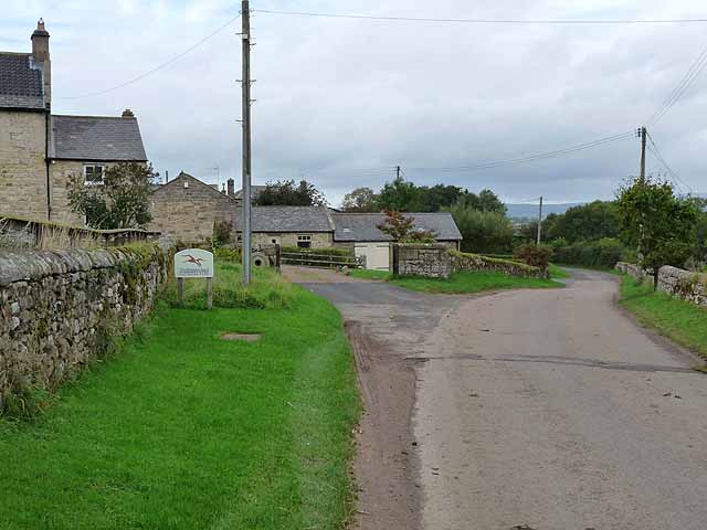
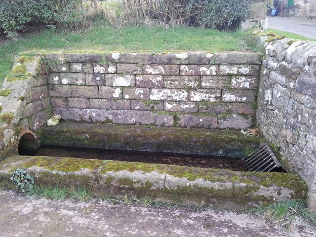
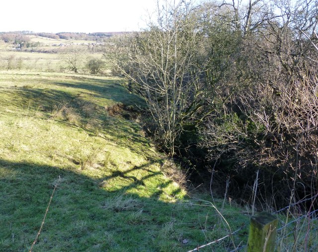
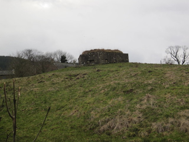
NEWTOWN, a township, in the parish and union of Rothbury, W. division of Coquetdale ward, N. division of Northumberland, 1½ mile (W.S.W.) from Rothbury; containing 57 inhabitants. It is situated on the northern declivity of a ridge of rocks; the streams of the Cowett wells unite here, and, dashing down the steep and passing Tosson mill, are lost in the Coquet, which flows on the north, a short distance from the hamlet. The land is good turnip soil. On the east of the township is the Carterside estate, partly the property of the Duke of Northumberland.

Extract from: A Topographical Dictionary of England comprising the several counties, cities, boroughs, corporate and market towns, parishes, and townships..... 7th Edition, by Samuel Lewis, London, 1848.

Northumberland Whitton and Tosson Civil Parish Rothbury Parish, 1848 Pill Box, Newtown, near Rothbury
from Geograph (geograph)
East Newton Farm

Pinned by Simon Cotterill
from Geograph (geograph)
Beautifully crafted drinking trough

Pinned by Simon Cotterill
from Geograph (geograph)
Bridge over Black Burn

Pinned by Simon Cotterill
from Geograph (geograph)
Old post box, Newtown

Pinned by Simon Cotterill
from Geograph (geograph)
Black Burn at Newton

Pinned by Simon Cotterill

Comments

Add a comment or share a memory.

Login to add a comment. Sign-up if you don't already have an account.


ABOUT US

Co-Curate is a project which brings together online collections, museums, universities, schools and community groups to make and re-make stories and images from North East England and Cumbria. Co-Curate is a trans-disciplinary project that will open up 'official' museum and 'un-officia'l co-created community-based collections and archives through innovative collaborative approaches using social media and open archives/data.

LATEST SHARED RESOURCES