Topics > Windermere > Whiteclosegate, Carlisle

Whiteclosegate, Carlisle


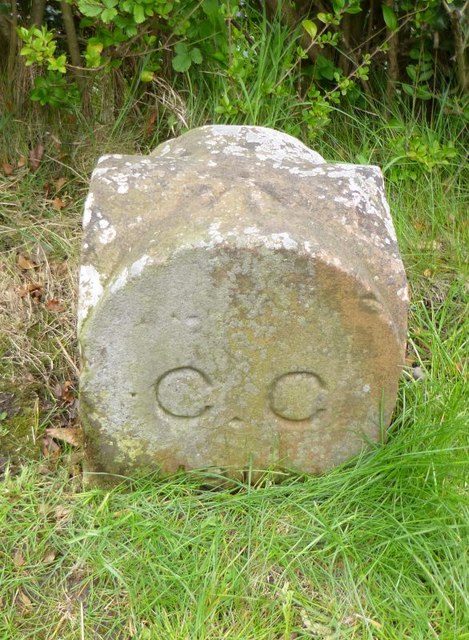
Whiteclosegate is a hamlet and area at the north-east of Carlisle, between Tarraby and Rickerby. Whiteclosegate (road) forms part of the B6264 route from Carlisle towards Brampton. The northern part of the hamlet around Whiteclosegate (road) is within Stanwix Rural Civil Parish. The southern part of the settlement, where the B6264 is named Brampton Road, is within Carliisle. A boundary stone was errected here in 1912, when the city boundaries were extended. Whiteclosegate is within the ceremonial county of Cumbria and in the Cumberland Council area.
Stanwix Rural Civil Parish Carlisle Old Carlisle City Boundary Stone, Whiteclosegate
from Geograph (geograph)
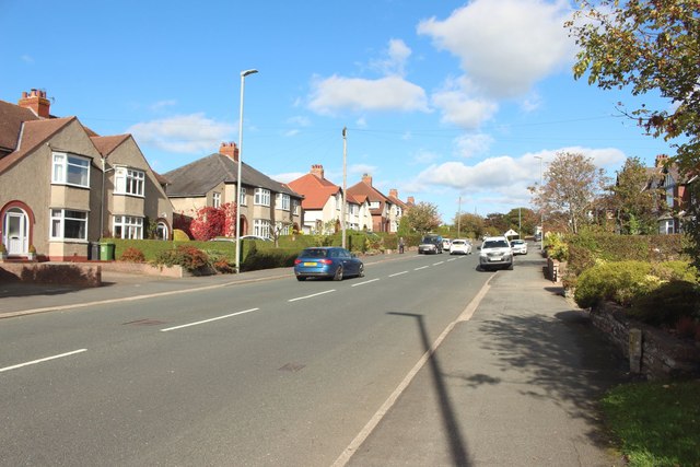
Whiteclosegate, Carlisle

Pinned by Simon Cotterill
from Geograph (geograph)
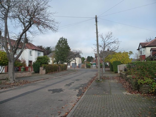
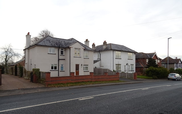
Houses on Whiteclosegate, Carlisle

Pinned by Simon Cotterill
from Geograph (geograph)
The northern end of Croft Road, Carlisle

Pinned by Simon Cotterill
from Geograph (geograph)
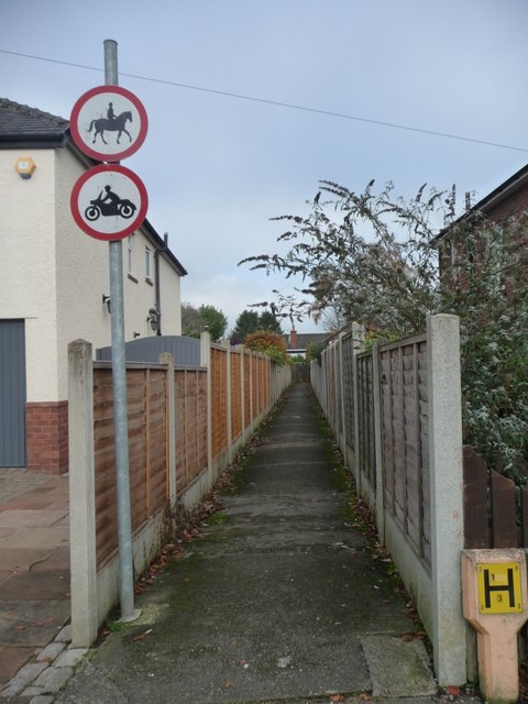
Public footpath, Whiteclosegate, Carlisle

Pinned by Simon Cotterill
from Geograph (geograph)
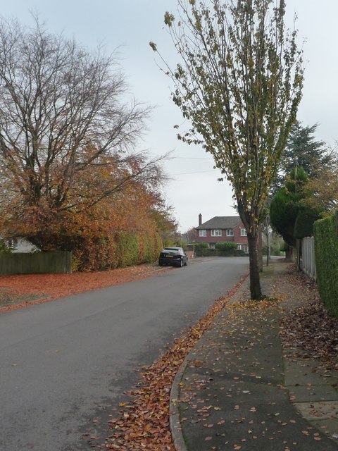
Autumn leaves, Longlands Road, Carlisle

Pinned by Simon Cotterill
from Geograph (geograph)
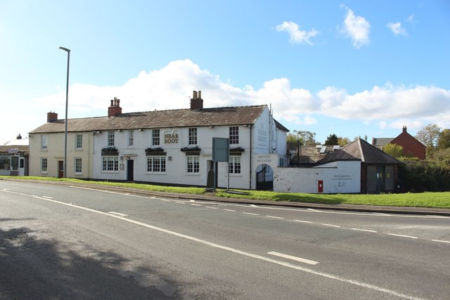
The Near Boot, Whiteclosegate, Carlisle

Pinned by Simon Cotterill
from Geograph (geograph)
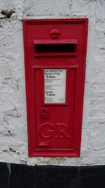
George V postbox on Whiteclosegate, Carlisle

Pinned by Simon Cotterill

Comments

Add a comment or share a memory.

Login to add a comment. Sign-up if you don't already have an account.


Unitary Auth: Cumberland
County: Cumbria
Grid ref: NY4109257784

ABOUT US

Co-Curate is a project which brings together online collections, museums, universities, schools and community groups to make and re-make stories and images from North East England and Cumbria. Co-Curate is a trans-disciplinary project that will open up 'official' museum and 'un-officia'l co-created community-based collections and archives through innovative collaborative approaches using social media and open archives/data.

LATEST SHARED RESOURCES