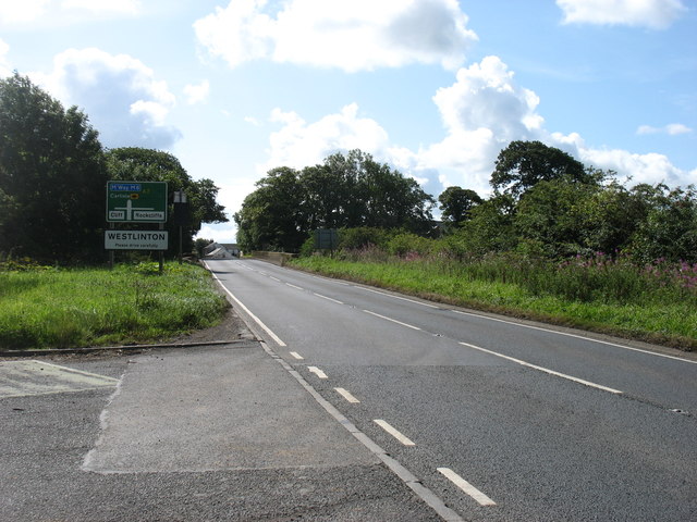
Topics > Cumbria > Westlinton > Westlinton Bridge
Westlinton Bridge
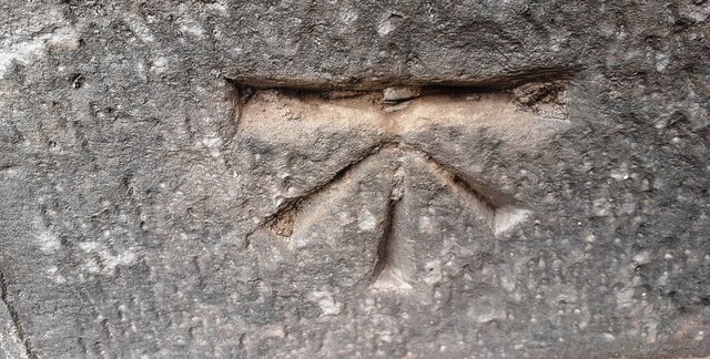
Westlinton Bridge is located immediately north of the village of Westlinton and carries the A7 road over the River Lyne. The red sandstone bridge has 2 segmental arches and was built in c.1793 for the Carlisle-Longtown Turnpike. An abutment of the bridge is inscribed 'CEMENT POINTED 1891'.[1] The bridge is Grade II listed on the National Heritage List for England. It straddles the civil parishes of Westlinton and Arthuret.
from Geograph (geograph)
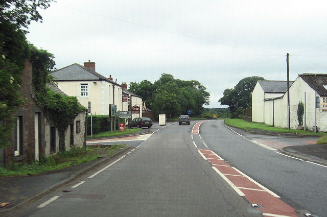
East parapet of Westlinton Bridge taking A7 over River Lyne
Pinned by Simon Cotterill
from Geograph (geograph)
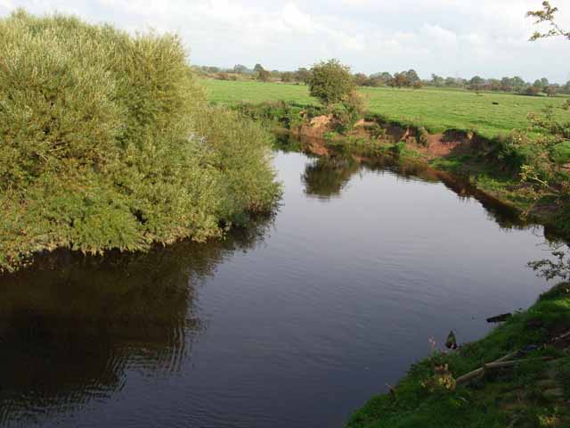
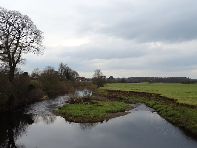
River Lyne viewed from west side of Westlinton Bridge
Pinned by Simon Cotterill

from https://historicengland.org.u…
WESTLINTON BRIDGE - List Entry
- "Road bridge. Probably 1793 for the Carlisle-Longtown Turnpike. Red sandstone ashlar. 2 segmental arches with central pier having pointed cutwaters. Abutments have chamfered plinth and cylindrical end piers. String course …
Added by
Simon Cotterill

from Geograph (geograph)
East parapet of Westlinton Bridge taking A7 over River Lyne
Pinned by Simon Cotterill
from Geograph (geograph)
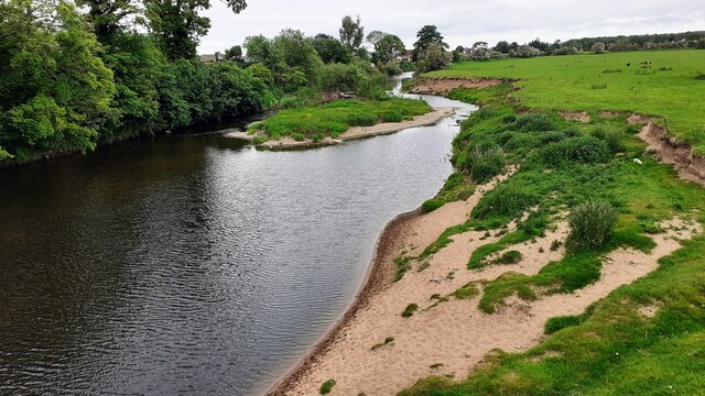
River Lyne viewed from west side of Westlinton Bridge
Pinned by Simon Cotterill
from https://historicengland.org.u…
WESTLINTON BRIDGE - List Entry
- "Road bridge. Probably 1793 for the Carlisle-Longtown Turnpike. Red sandstone ashlar. 2 segmental arches with central pier having pointed cutwaters. Abutments have chamfered plinth and cylindrical end piers. String course …
Added by
Simon Cotterill