Topics > Geography > Rivers > River Tyne > Wallsend Burn
Wallsend Burn
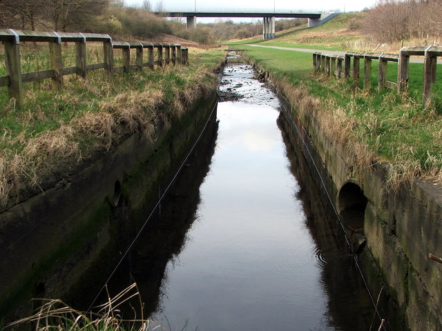
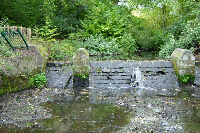
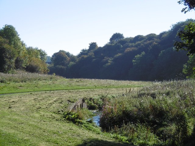
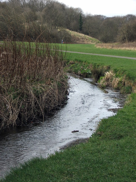
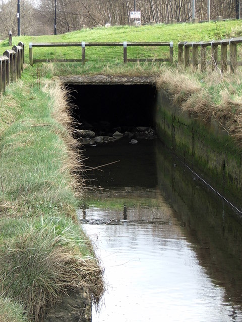
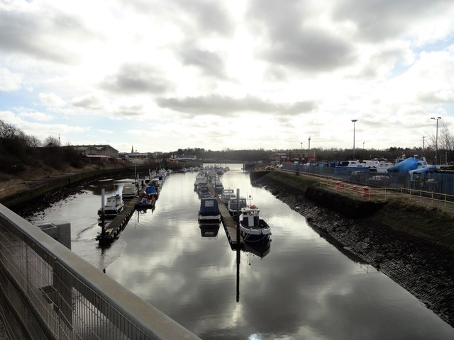
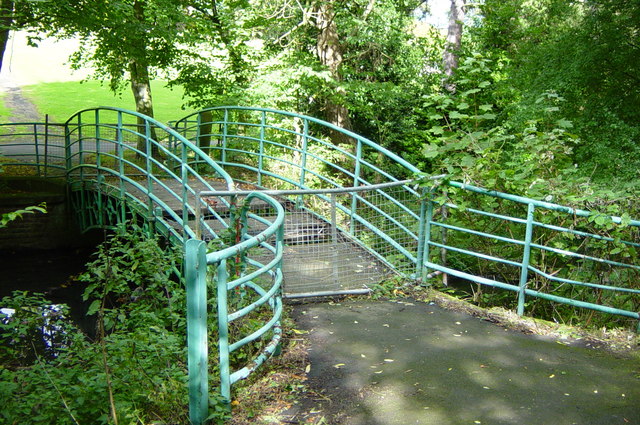
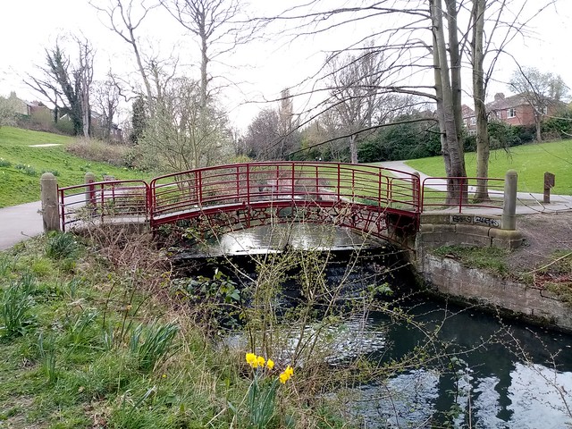
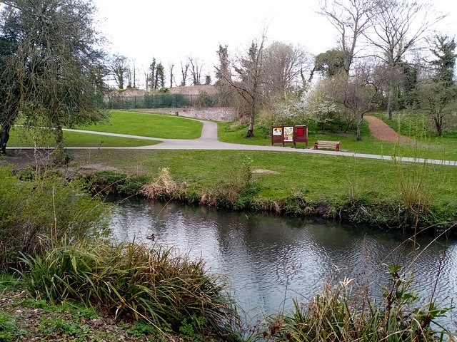
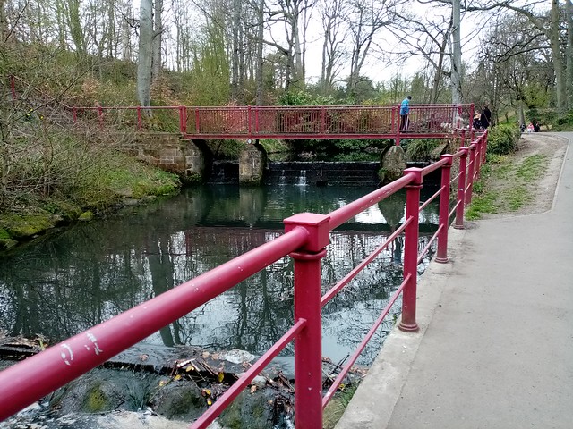
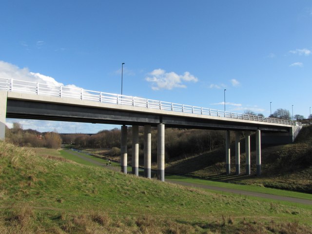
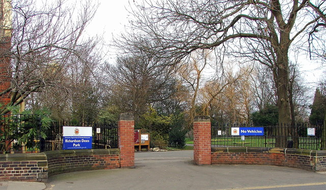
Wallsend Burn is a stream which is a tributary of the River Tyne. Much of the upper course of the burn, which arises near Heaton and Byker Cemetery, is now culverted (built over).[1] It's lower course flows through Wallsend Golf Course and then through Richardson Dees Park in Wallsend. The valley of the burn is known as Wallsend Dene, which connects to other green spaces in Wallsend, forming an important wildlife corridor, and has been designated a Local Nature Reserve since 2005.[2] In Richardson Dees Park, Wallsend Burn is joined by another small burn arising near Coach Lane (unnamed on OS map). Bridges crossing Wallsend Dene include Burn Closes Bridge and Willington Dene Viaduct. Wallsend Burn flows into Willington Gut and shortly afterwards into the Tyne.
Co-Curate Page
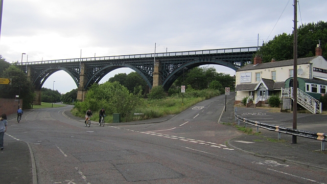
Willington Dene Viaduct
- Overview Map Street View Willington Dene Viaduct is a railway bridge over the valley of Wallsend Burn near Willington and Wallsend. It was built between 1837-1839 by John and Benjamin Green …
Co-Curate Page
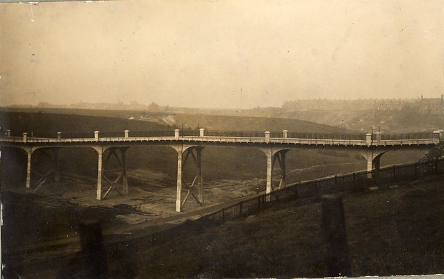
Burn Closes Bridge (1913 - 2008)
- The original Burn Closes Bridge was a reinforced concrete bridge, built in 1913, carrying St Peter's Road over Willington Dene (the lower part of the valley formed by Wallsend Burn). It …
from https://heatonhistorygroup.or…
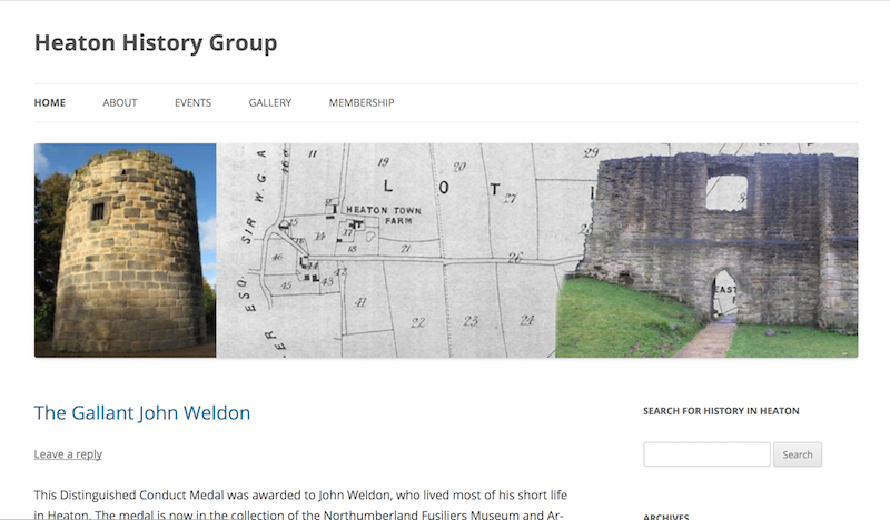
Heaton’s Lost Burn
- Includes aerial photographs of the burn in Heaton from the 1920s "... how many of us knew that another burn once meandered through the township?...So which burn is it? The …
Added by
Simon Cotterill
from https://www.birdwatchingsites…
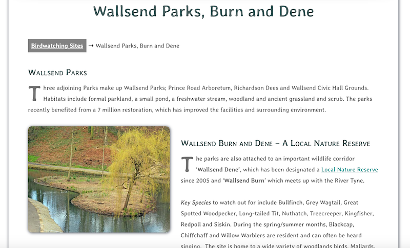
Wallsend Parks, Burn and Dene
- "Three adjoining Parks make up Wallsend Parks; Prince Road Arboretum, Richardson Dees and Wallsend Civic Hall Grounds. Habitats include formal parkland, a small pond, a freshwater stream, woodland and ancient …
Added by
Simon Cotterill
Co-Curate Page
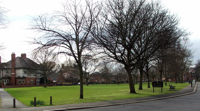
The Green, Wallsend
- Overview Map Street View The Green is a suburban area located to the north of Wallsend town centre. It was designated as a Conservation Area on 1st November, 1974. The …


Co-Curate Page
Willington Dene Viaduct
- Overview Map Street View Willington Dene Viaduct is a railway bridge over the valley of Wallsend Burn near Willington and Wallsend. It was built between 1837-1839 by John and Benjamin Green …

Co-Curate Page
Burn Closes Bridge (1913 - 2008)
- The original Burn Closes Bridge was a reinforced concrete bridge, built in 1913, carrying St Peter's Road over Willington Dene (the lower part of the valley formed by Wallsend Burn). It …

from https://heatonhistorygroup.or…
Heaton’s Lost Burn
- Includes aerial photographs of the burn in Heaton from the 1920s "... how many of us knew that another burn once meandered through the township?...So which burn is it? The …
Added by
Simon Cotterill

from https://www.birdwatchingsites…
Wallsend Parks, Burn and Dene
- "Three adjoining Parks make up Wallsend Parks; Prince Road Arboretum, Richardson Dees and Wallsend Civic Hall Grounds. Habitats include formal parkland, a small pond, a freshwater stream, woodland and ancient …
Added by
Simon Cotterill

