Topics > Newcastle City Centre > Town Moor
Town Moor
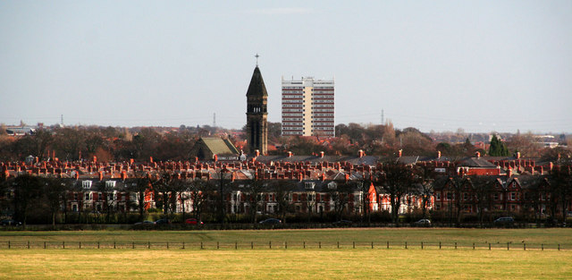
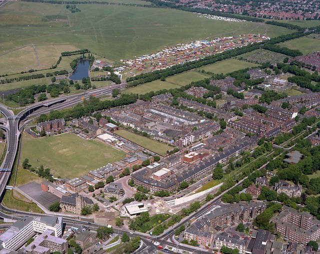
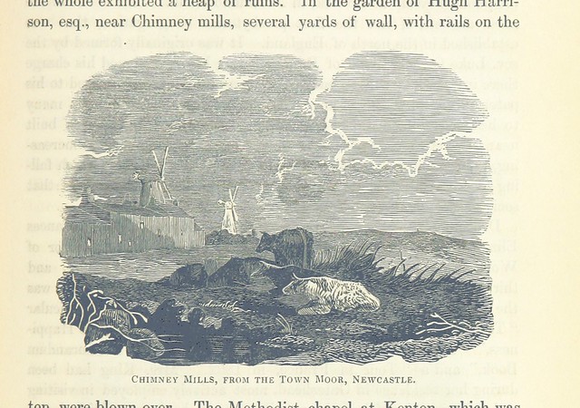
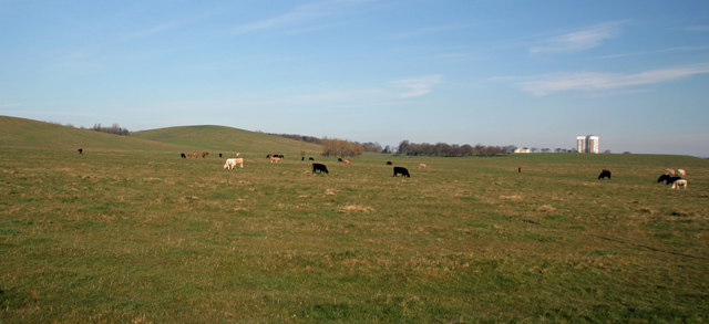
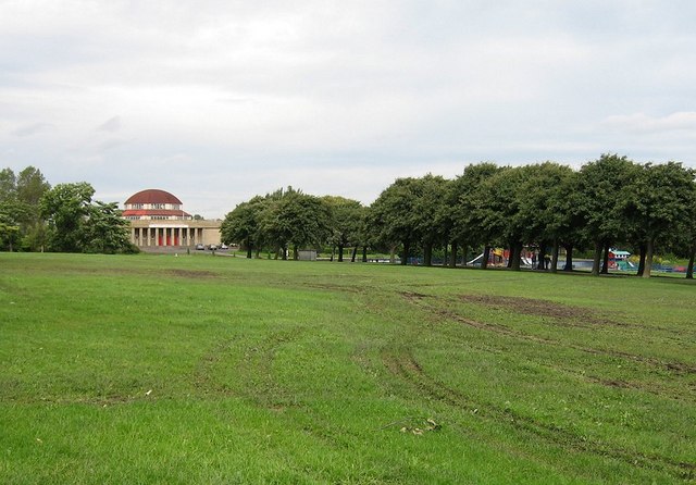
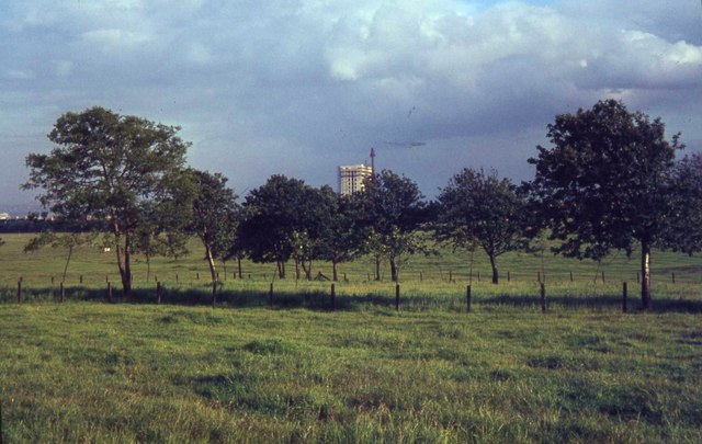
The Town Moor is a large area of common land in Newcastle upon Tyne. It covers an area of around 1000 acres or 400ha, and is larger than Hyde Park and Hampstead Heath combined, and also larger than New York City's Central Park (843 acres). Like them it is not on the edge of the city, but has suburbs all around it.
It stretches from the city centre and Spital Tongues in the south out to Cowgate/Kenton Bar to the west, and from Gosforth to the north and Jesmond to the east.
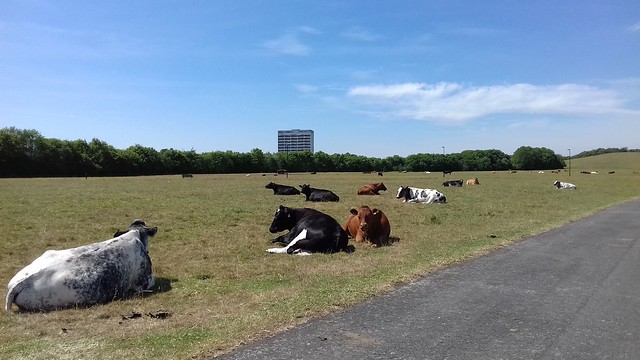
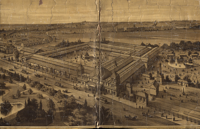
At the south-eastern corner lies the Exhibition Park, but the rest of the Town Moor is not laid out as a park and is mostly treeless. Freemen of the city have the right to graze cattle on the moors, the rental income is distributed through the Town Moor Money Charity.
The ornithologist and landscape architect John Hancock, after whom the nearby Hancock Museum is named, produced a planned layout for the Town Moor in 1868, which was only partly realised.
In 1873 a political demonstration in favour of full male suffrage took place on the moor which attracted 200,000 people, the largest recorded mass gathering to have taken place there.
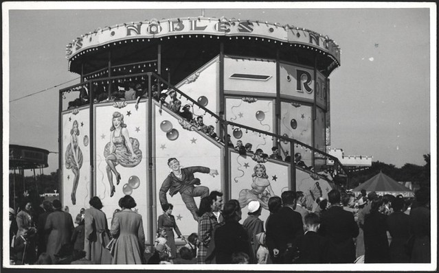
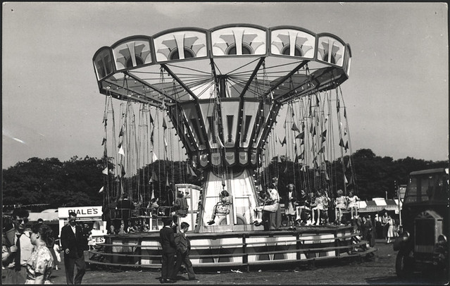
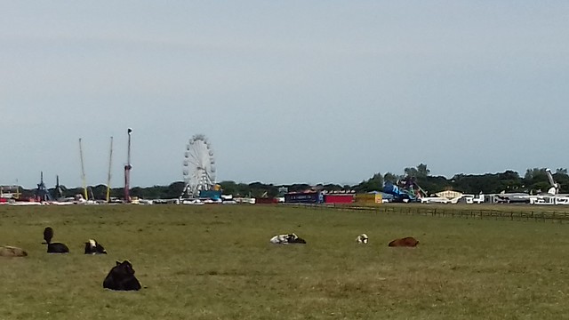
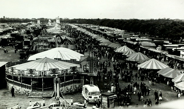
The Hoppings, said to be Europe's largest travelling fun fair, is held on the Town Moor during the last week in June.
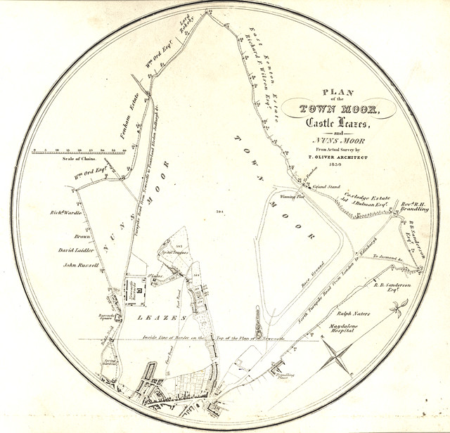
The area of common land is actually split up into several sections, of which the Town Moor is but the major part. The area is intersected by the A189 road and the section on the other side of the road is known as Nuns Moor, and includes the Newcastle United Golf Club. Also part of Town Moor are Dukes Moor and Little Moor, both at its northern end, Hunters Moor to the west, and Castle Leazes Moor to the south.
The moor has recently had a pathway re-laid with more street lighting and CCTV.
The Town Moor is mentioned in the Maxïmo Park song "The Undercurrents".
Sports and horse racing
Since the 18th century the Town Moor has hosted a significant number of sports and recreational events including rabbit coursing, horse racing and running. In 1892 the Town Moor hosted a baseball event where Wallsend became the national champions.
The Town Moor first hosted horse racing events in 1721 and competed with races held at Killingworth Moor. The Town Moor's course was approximately two miles long, a triangular shape and located at the northern area of the moor, just south of Gosforth. Part of the course ran through a cutting which can still be seen in the grass at the north of the moor. In 1800 a permanent stone grandstand was built at the north end of the racecourse; a fire damaged it for a short time in 1844. The road in front of this grandstand is still called Grandstand Road to this day. From 1833 the Northumberland Plate horse race was hosted at the Town Moor. The Town Moor attracted the larger events than Killingworth, but by the summer of 1881 the Town Moor hosted its last race and racing moved to Gosforth Park that same year.
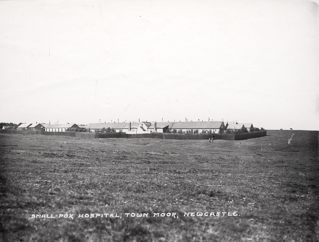
A Smallpox Isolation Hospital was built on the western side of Town Moor in 1882, and demolished by 1958. The site is still visible as a fenced linear copse or wooded area near the bottom of Cow Hill, the larger of the two hills on the west perimeter of the moor.
Visit the page: Town Moor, Newcastle upon Tyne for references and further details. You can contribute to this article on Wikipedia.
from Newcastle libraries (flickr)
004250:Plan of the Town Moor Castle Leazes and Nuns Moor 1830
Pinned by Simon Cotterill
from Newcastle libraries (flickr)
030666:Smallpox Hospital Town Moor Newcastle upon Tyne Unknown c.1920
Pinned by Simon Cotterill
from Newcastle libraries (flickr)
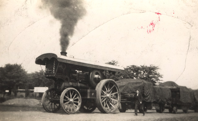
068022:Steam Engine North East Exhibition Town Moor Unknown 1936
Pinned by Simon Cotterill
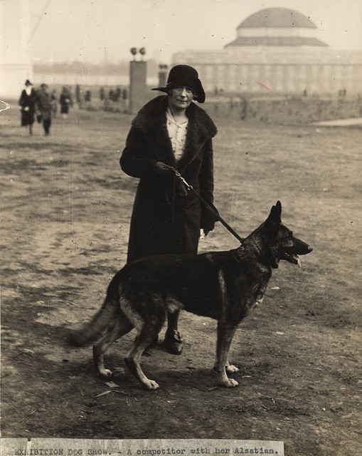
from Newcastle libraries (flickr)
022772:Dog Show ?North East Coast Exhibition Town Moor Newcastle upon Tyne Unknown c.1929
Pinned by Simon Cotterill
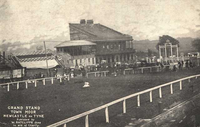
from Newcastle libraries (flickr)
065870:Grand Stand Town Moor Unknown Undated
Pinned by Simon Cotterill
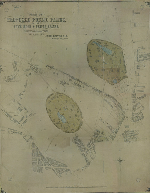
from Newcastle libraries (flickr)
Plan of proposed public park on the Town Moor & Castle Leazes, 1870
Pinned by Simon Cotterill
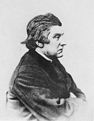
Co-Curate Page
John Hancock (1808-1890)
- Overview About John Hancock John Hancock was born in Newcastle on the 24th of February 1808. As well as being a naturalist, ornithologist, and landscape architect he is considered to be …
Co-Curate Page
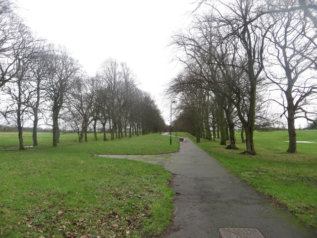
Nun's Moor
- Nun's Moor Park is at the corner of Studley Terrace and Brighton Grove in Fenham, Newcastle - it connects with Town Moor. The Park House (lodge)
Co-Curate Page
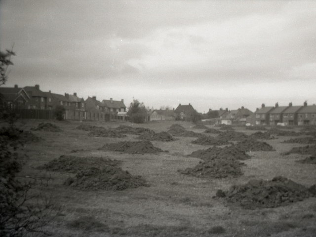
Blackies Valley / Little Dene
- Overview Map Little Dene (also known as Blackies Valley) in Newcastle was the valley formed by a small stream which flowed eastwards from Town Moor to join the Ouse Burn near …

from Youtube (youtube)
DEFENCE / ROYAL: King George V reviews troops at Newcastle (1915)
Pinned by Simon Cotterill
Co-Curate Page
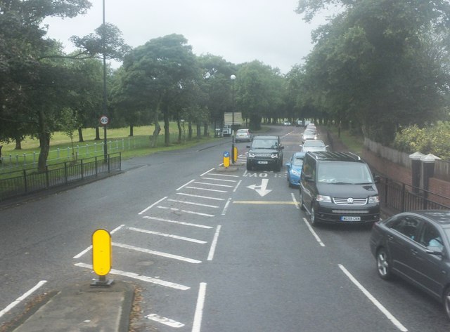
Grandstand Road
- Overview Map Street View Grandstand Road in Newcastle starts at Nun's Moor and runs across Town Moor in a north-easterly direction towards Gosforth/Kenton Road, then east to the Bluehouse Roundabout …
Co-Curate Page
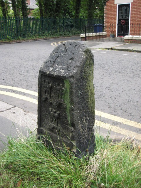
Town Moor boundary stone, Higbury, Jesmond
- Overview Map Street View This Town Moor boundary stone is located opposite No.73, Highbury in Jesmond, by the footpath to Jesmond Dene Road. The boundary stone dates from the 18th …
Co-Curate Page
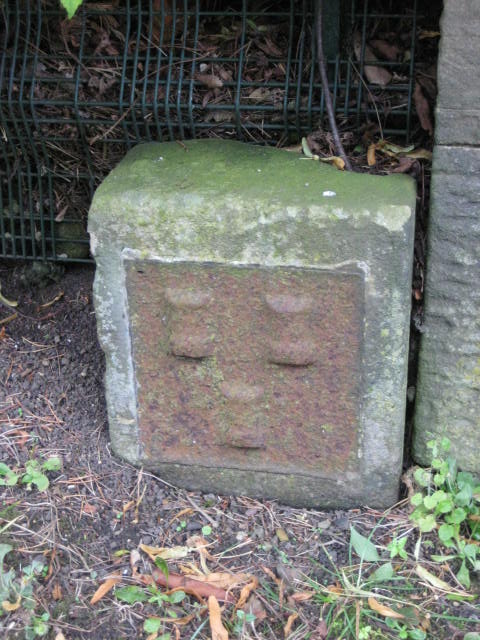
Town Moor Boundary Stone, Poneland Road, Fenham
- Overview Map Street View There is an old Town Moor Boundary Stone, next to the north gatepier of Millmount (house) on Poneland Road in Fenham, Newcastle - near Nun's Moor …
from Geograph (geograph)
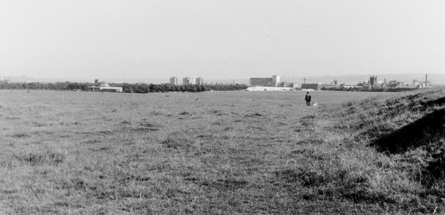
Newcastle Town Moor from Race Hill overlooking the city
Pinned by Simon Cotterill
Co-Curate Page
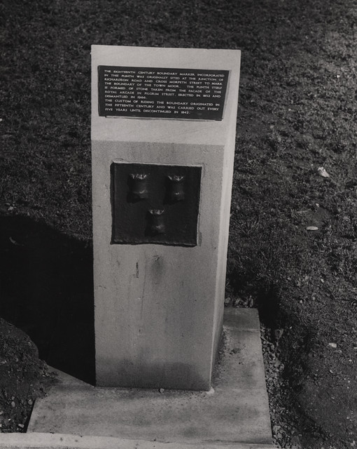
Town Moor Boundary Stone, Barras Bridge
- Overview Map Street View This old Town Moor Boundary Stone is located by the Civic Centre at Barras Bridge, Newcastle. The boundary marker was originally sited at the junction of …


from Newcastle libraries (flickr)
004250:Plan of the Town Moor Castle Leazes and Nuns Moor 1830
Pinned by Simon Cotterill

from Newcastle libraries (flickr)
030666:Smallpox Hospital Town Moor Newcastle upon Tyne Unknown c.1920
Pinned by Simon Cotterill

from Newcastle libraries (flickr)
068022:Steam Engine North East Exhibition Town Moor Unknown 1936
Pinned by Simon Cotterill

from Newcastle libraries (flickr)
022772:Dog Show ?North East Coast Exhibition Town Moor Newcastle upon Tyne Unknown c.1929
Pinned by Simon Cotterill

from Newcastle libraries (flickr)
065870:Grand Stand Town Moor Unknown Undated
Pinned by Simon Cotterill

from Newcastle libraries (flickr)
Plan of proposed public park on the Town Moor & Castle Leazes, 1870
Pinned by Simon Cotterill

Co-Curate Page
John Hancock (1808-1890)
- Overview About John Hancock John Hancock was born in Newcastle on the 24th of February 1808. As well as being a naturalist, ornithologist, and landscape architect he is considered to be …

Co-Curate Page
Nun's Moor
- Nun's Moor Park is at the corner of Studley Terrace and Brighton Grove in Fenham, Newcastle - it connects with Town Moor. The Park House (lodge)

Co-Curate Page
Blackies Valley / Little Dene
- Overview Map Little Dene (also known as Blackies Valley) in Newcastle was the valley formed by a small stream which flowed eastwards from Town Moor to join the Ouse Burn near …

from Youtube (youtube)
DEFENCE / ROYAL: King George V reviews troops at Newcastle (1915)
Pinned by Simon Cotterill

Co-Curate Page
Grandstand Road
- Overview Map Street View Grandstand Road in Newcastle starts at Nun's Moor and runs across Town Moor in a north-easterly direction towards Gosforth/Kenton Road, then east to the Bluehouse Roundabout …

Co-Curate Page
Town Moor boundary stone, Higbury, Jesmond
- Overview Map Street View This Town Moor boundary stone is located opposite No.73, Highbury in Jesmond, by the footpath to Jesmond Dene Road. The boundary stone dates from the 18th …

Co-Curate Page
Town Moor Boundary Stone, Poneland Road, Fenham
- Overview Map Street View There is an old Town Moor Boundary Stone, next to the north gatepier of Millmount (house) on Poneland Road in Fenham, Newcastle - near Nun's Moor …

from Geograph (geograph)
Newcastle Town Moor from Race Hill overlooking the city
Pinned by Simon Cotterill

