Topics > Carlisle > Streets of Carlisle
Streets of Carlisle
Some of the historic streets of Carlisle:
Co-Curate Page
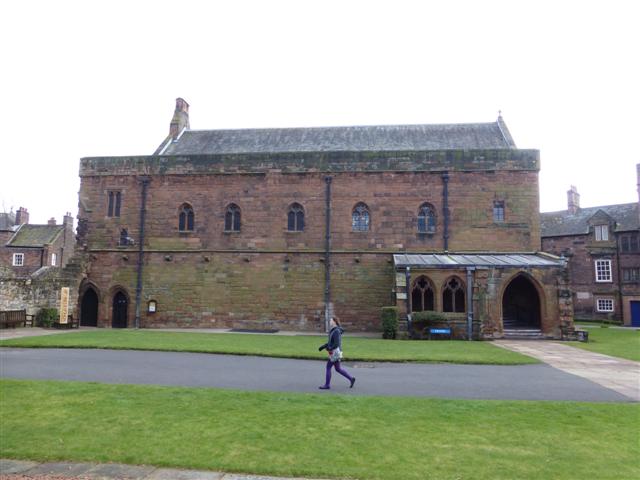
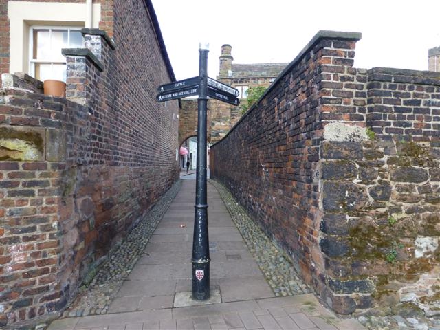
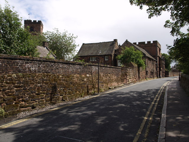
The Abbey and Cathedral Precinct, Carlisle
- Overview Map Street View Carlisle Cathedral precinct has a long history of occupation; it was within the Roman town (excavations immediately outside the cathedral in 1983 established that the precinct …
Co-Curate Page
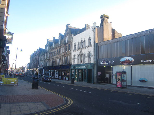
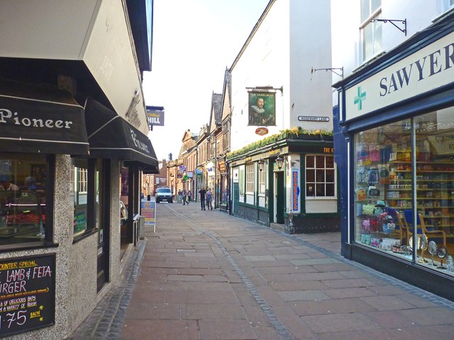
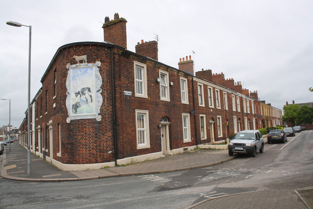
Botchergate
- Overview Map Street View Botchergate is a street and area in the south of Carlisle. Historically, Botchergate grew outside the old town walls, it began a linear development, with dwellings …
Co-Curate Page
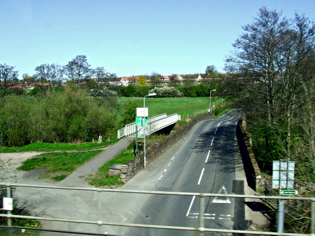
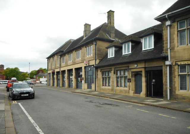
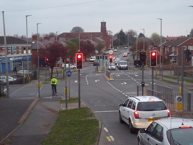
Petteril Bank Road
- Overview Map Street View Petteril Bank Road is a major road in the Harraby area of Carlisle. The road runs in a roughly south-westerly direction from London Road down to …
Co-Curate Page
Rickergate, Carlisle
- Overview Map Street View Rickergate is an area (and street) of Carlisle. The Civic Centre and Magistrates Court are located on Rickergate. Historically, Rickergate was a township of the ancient …
Co-Curate Page
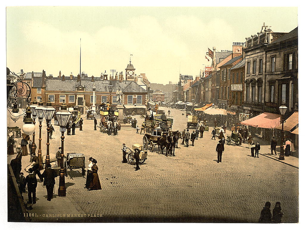
Market Place & Greenmarket, Carlisle
- The Market Place and adjoining Greenmarket are at the heart of Carlisle city centre. The Market Place is an open space which is formed at the junctions of Castle Street, …

Co-Curate Page
The Abbey and Cathedral Precinct, Carlisle
- Overview Map Street View Carlisle Cathedral precinct has a long history of occupation; it was within the Roman town (excavations immediately outside the cathedral in 1983 established that the precinct …
Co-Curate Page
Botchergate
- Overview Map Street View Botchergate is a street and area in the south of Carlisle. Historically, Botchergate grew outside the old town walls, it began a linear development, with dwellings …
Co-Curate Page
Petteril Bank Road
- Overview Map Street View Petteril Bank Road is a major road in the Harraby area of Carlisle. The road runs in a roughly south-westerly direction from London Road down to …
Co-Curate Page
Rickergate, Carlisle
- Overview Map Street View Rickergate is an area (and street) of Carlisle. The Civic Centre and Magistrates Court are located on Rickergate. Historically, Rickergate was a township of the ancient …
Co-Curate Page
Market Place & Greenmarket, Carlisle
- The Market Place and adjoining Greenmarket are at the heart of Carlisle city centre. The Market Place is an open space which is formed at the junctions of Castle Street, …
Carlisle
Abbey Street, Carlisle

Castle Street, Carlisle

Chapel Street, Carlisle
Court Square, Carlisle

Dalston Road, Carlisle
Dean Tait's Lane, Carlisle

Earl Street, Carlisle
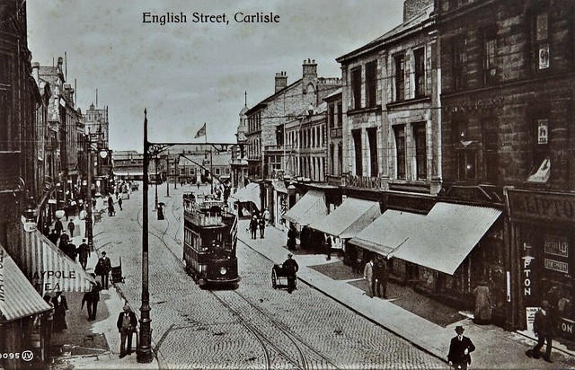
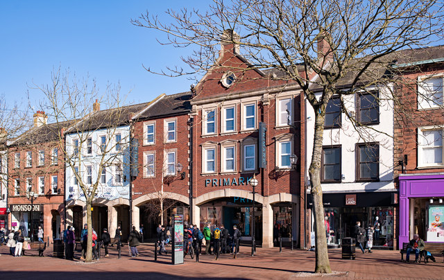
English Street, Carlisle
Fisher Street, Carlisle
Fusehill Street, Carlisle
Heads Lane, Carlisle

London Road, Carlisle
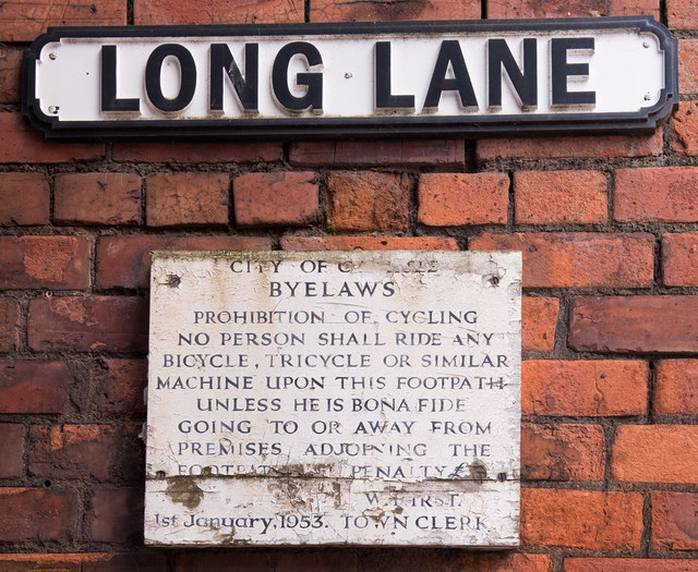
Long Lane, Carlisle
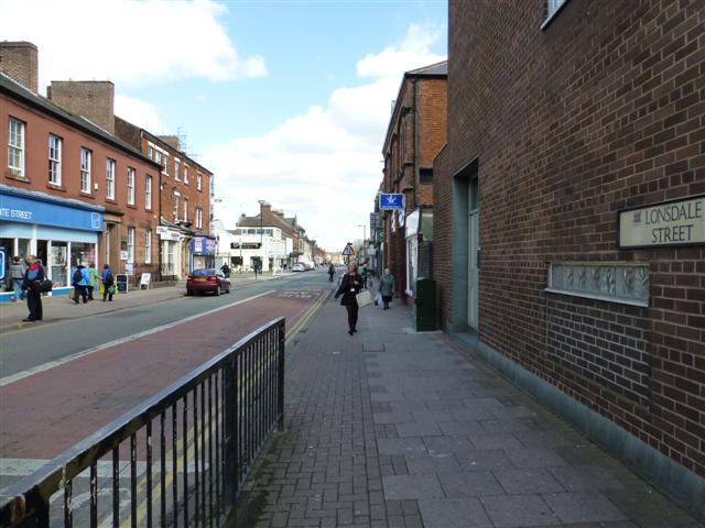
Lonsdale Street, Carslile
Lowther Street, Carlisle
Newtown Road, Carlisle
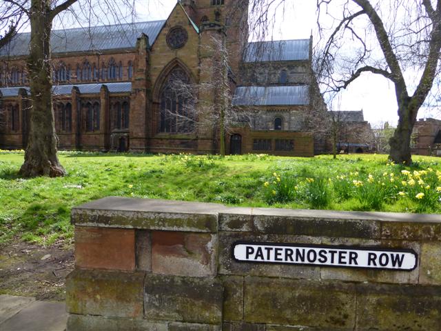
Paternoster Row, Carlisle
Richardson Street, Carlisle
Scotch Street, Carlisle

St Nicholas Street, Carlisle
Strand Road, Carlisle
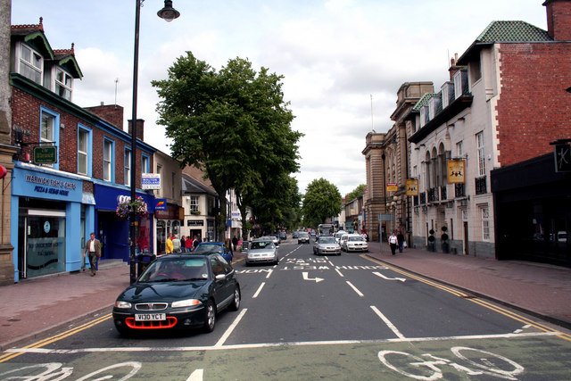
Warwick Road, Carlisle
Warwick Street, Carlisle
West Walls (street), Carlisle
Wigton Road, Carlisle
Woodroufe Terrace, Carlisle


