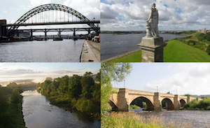
Topics > Geography > Rivers > River Tyne > Stocksfield Burn
Stocksfield Burn
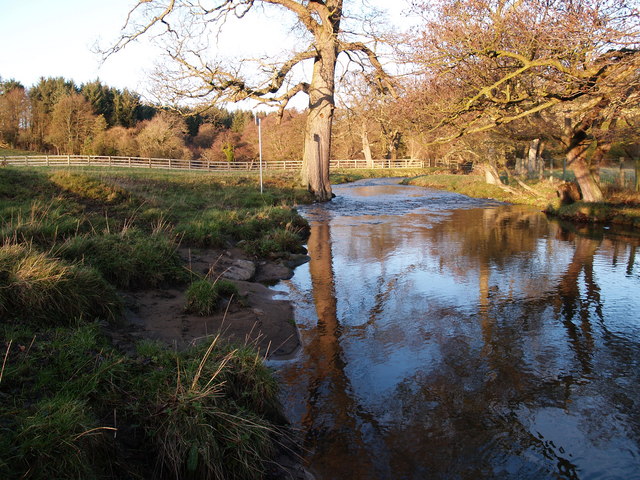
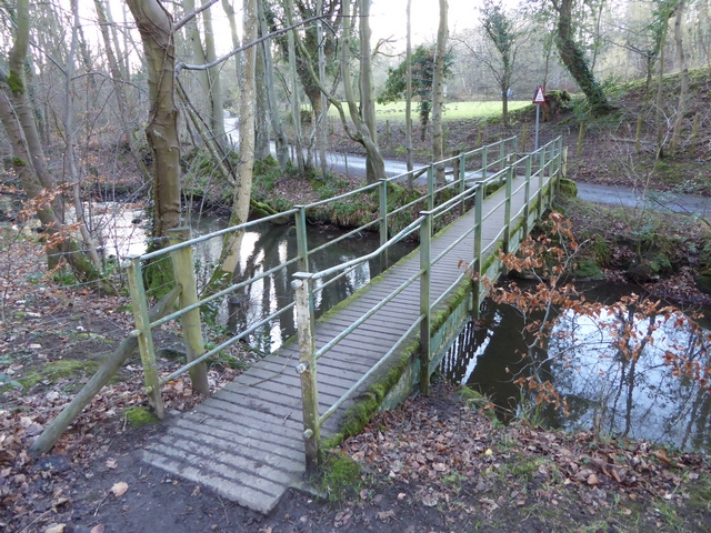
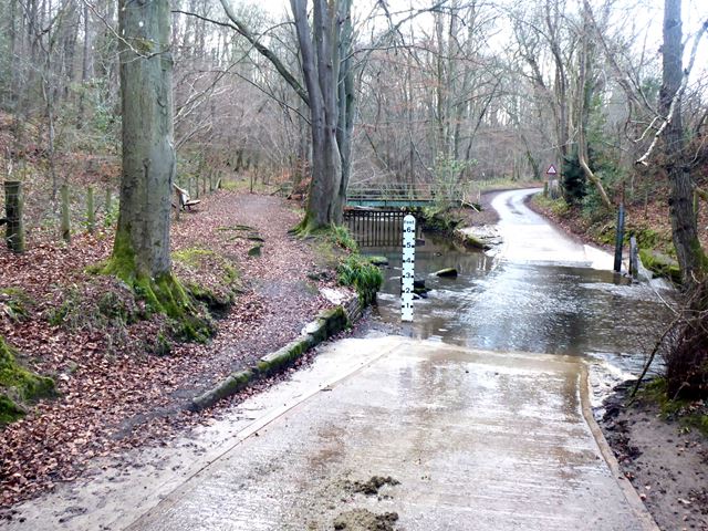
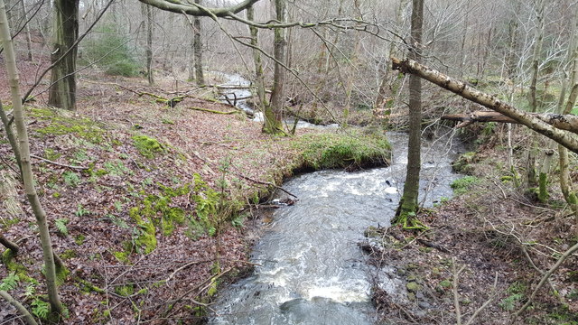
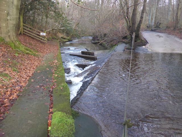
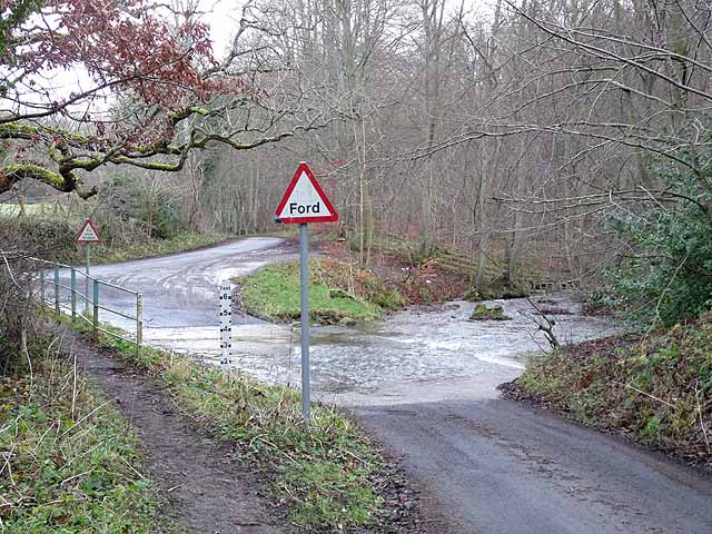
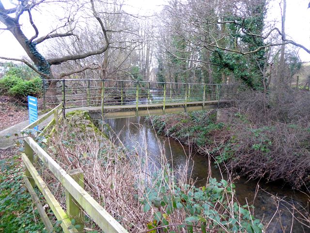
Stocksfield Burn is a river in Northumberland, which is a tributary of the River Tyne. The Burn flows is about 9km long and flows in a roughly north-easterly direction to join the Tyne at Stocksfield. It has a catchment area of 26 km2.[1]

from https://environment.data.gov.…
Stocksfield Burn Catchment (trib of Tyne) Water Body
Added by
Simon Cotterill
Co-Curate Page
Stocksfield
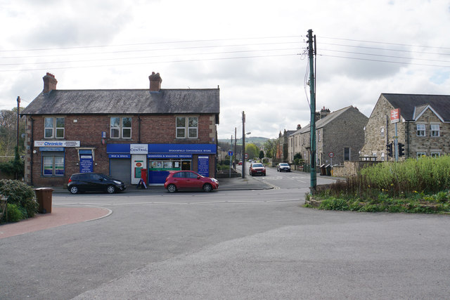
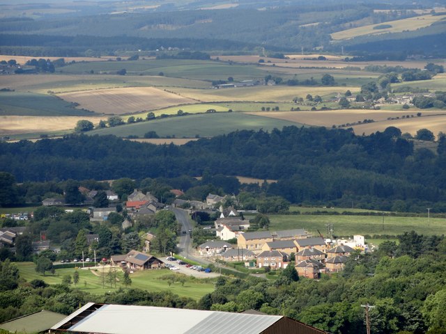
- Overview About Stocksfield Map Street View Stocksfield is a village in Northumberland, situated by the south banks of the River Tyne and about 12 miles west of the city centre …

Co-Curate Page
Wheelbirks Furnace
- Map showing the Scheduled Monument areas of Wheelbirks Furnace, to the south-east of Wheelbirks. By the west banks of Stocksfield Burn, about half mile south-east of the farm at Wheelbirks, …

from https://environment.data.gov.…
Stocksfield Burn Catchment (trib of Tyne) Water Body
Added by
Simon Cotterill
Co-Curate Page
Stocksfield
- Overview About Stocksfield Map Street View Stocksfield is a village in Northumberland, situated by the south banks of the River Tyne and about 12 miles west of the city centre …