Topics > Northumberland > Civil Parishes in Northumberland > Slaley Civil Parish > Slaley Parish, 1848
Slaley Parish, 1848
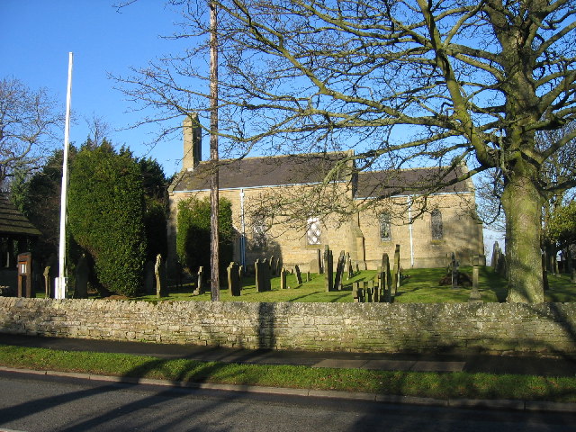
SLALEY, a parish, in the union of Hexham, E. division of Tindale ward, S. division of Northumberland, 5½ miles (S.E. by S.) from Hexham; containing 547 inhabitants. It comprises about 7,430 acres of land, lying south of the Devil's water and Dipton, and west of Heeley burn. Prior to the inclosure of Bulbeck common in 1771, a great portion of the district was moory waste; but nearly the whole is now under cultivation, and the parish has assumed a pleasing appearance, adorned with thriving woods and plantations. Some of the buildings have been much improved of late years, and others have been superseded by modern erections, covered with blue or grey slates, instead of thatch. Here is a valuable stone-quarry. The living is a perpetual curacy; net income, £103; patron, T. W. Beaumont, Esq.; impropriators, R. Trevelyan and H. Witham, Esqrs. The foundation stone of a new church was laid on the 25th of May, 1832; the old church had become a mass of ruins, and totally unfit for the celebration of divine service.
Extract from: A Topographical Dictionary of England comprising the several counties, cities, boroughs, corporate and market towns, parishes, and townships..... 7th Edition, by Samuel Lewis, London, 1848.