Topics > Northumberland > Civil Parishes in Northumberland > Chatton Civil Parish > Simonside Camp, Northumberland
Simonside Camp, Northumberland
Simonside Camp is the site of an enclosure, probably a hillfort, located 250m ESE of Weetwood Bridge and the River Till, about 1½ miles ENE of Wooler, in Northumberland. The hillfort was probably of Iron Age origins, but the site was later reused, hosting a Romano-British settlement. Simonside Camp is a Scheduled Monument (legally protected),
EN1980 Simonside Camp, Northumberland
Click the headings below to expand (selected extracts from the Atlas of Hillforts of Britain and Ireland)
Lying 250m to the SE of Weetwood Bridge, an enclosure described as a hillfort (Hogg 1979) but now difficult to discern on the ground. The site has been damaged by overlying Romano-British settlement, quarrying, farming, forestry and field walls. It lies at 120m OD on the summit of a spur. It was described by MacLauchlan in 1864 as being oval in form, with a small annex in the NW which was divided into compartments and a larger annex in the N and E. A plan of the site was drawn at that time which shows a single rampart. It was later described by both Hogg (1947) and Jobey (1964) as multivallate with two possible ditches, an interpretation confirmed by parchmarks on satellite imagery from 2006, which show fragments of ramparts and double ditches 3m in breadth and set 7m apart enclosing an area measuring up to 140m from ESE to WNW by 90m transversely, an area of about 1.2ha. Tate (1863-8) records a porphory quern, round manufactured stone balls and a stone trough being found there. Romano-British stone-founded huts and yards overlie the enclosure on the E side. The site shows well on 2006 Google Earth imagery. It is recorded on 1856-65 OS mapping. Minimal investigations, undated but presumed to have underlying Iron Age origins.
Source: Lock, Gary and Ralston, Ian. 2024. Atlas of Hillforts of Britain and Ireland. Available at: https://hillforts.arch.ox.ac.uk (CC BY-SA 4.0)

from https://keystothepast.info/se…
Simonside Camp (Tillside)
- ....Weetwood Camp. Situated about 260 yards south of the River Till.
A camp of complicated construction; to judge from the alterations it seems to have undergone, it has been occupied …
Added by
Simon Cotterill
Co-Curate Page
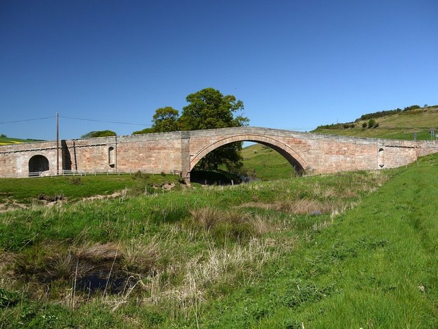
Weetwood Bridge, over River Till
- Overview Map Street View Weetwood Bridge is a single span stone bridge over the River Till, located near Weetwood Hall, and about a mile and a half north-east of Wooler and …

from https://keystothepast.info/se…
Simonside Camp (Tillside)
- ....Weetwood Camp. Situated about 260 yards south of the River Till.
A camp of complicated construction; to judge from the alterations it seems to have undergone, it has been occupied …
Added by
Simon Cotterill


