Topics > Northumberland > Civil Parishes in Northumberland > Chatton Civil Parish
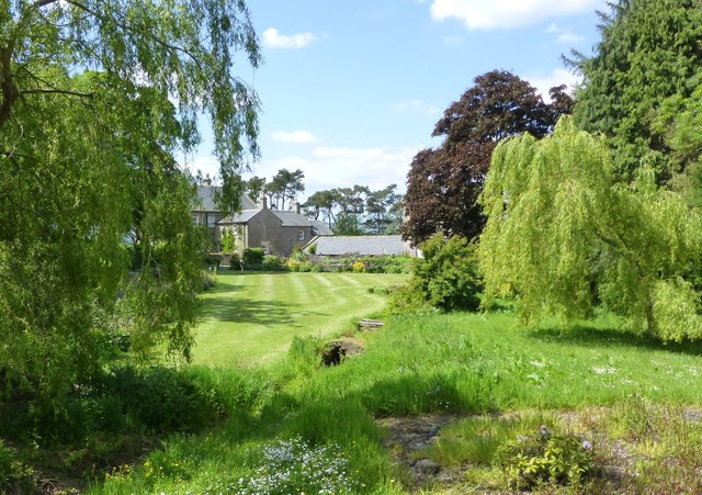
Chatton Civil Parish
Area: 46.8 km²
Population:
375 (2021 Census)
338 (2011 Census)
301 (2001 Census)
Co-Curate Page
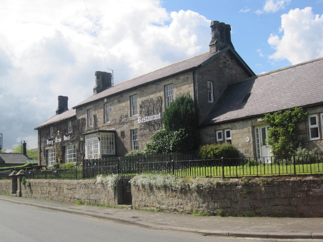
Chatton
- Overview About Chatton Map Street View Chatton is a village in Northumberland, in England. It is roughly 6km to the east of Wooler. History A rock overhang at nearby …
Co-Curate Page
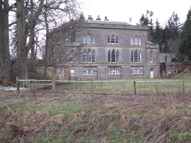
Fowberry
- Overview Map Street View Fowberry is a hamlet situated by the River Till in Northumberland, located about 3 miles east of Wooler and a mile north-west of Chatton. There was …
Co-Curate Page
Horton (Wooler)
- Overview About Horton Map Street View Horton, 3 miles north-east of Wooler in Northumberland, is comprised of the hamlets of East Horton and West Horton, which are divided by Horton …
Co-Curate Page
Amersidelaw
- Overview Map Street View Amersidelaw is a farm complex located about ½ mile south-east of Chatton in Northumberland. It is located near Amersidelaw Moor (aka Amerside Law). There are pre-historic …

Co-Curate Page
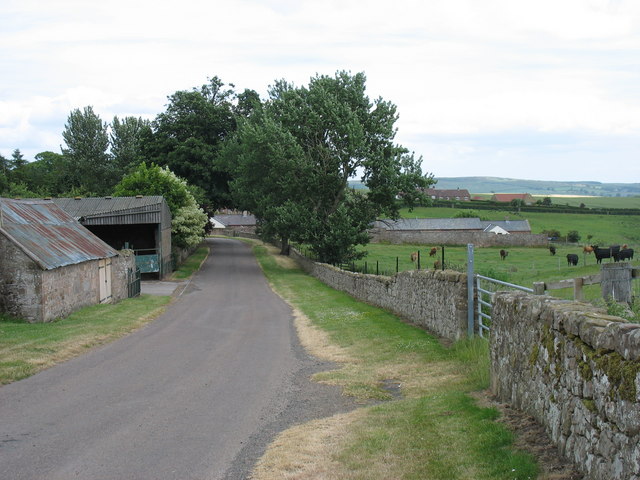
Wandon, Northumberland
- Overview Map Street View Wandon is a farm and hamlet in Northumberland, on the B6348 road, located about 3 miles east of Wooler and 1 mile west of the village …

Co-Curate Page
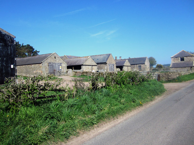
Fowberry Mains
- Overview Map Street View Fowberry Mains is a farm in Northumberland, located about 2 miles east of Wooler and 1½ miles west of the village of Chatton. The farmhouse here …

Co-Curate Page
Chatton Parish, 1848
- CHATTON (Holy Cross), a parish, in the union of Glendale, E. division of Glendale ward, N. division of Northumberland, 4 miles (E.) from Wooler, on the road to Belford; containing …

Co-Curate Page
Chatton
- Overview About Chatton Map Street View Chatton is a village in Northumberland, in England. It is roughly 6km to the east of Wooler. History A rock overhang at nearby …
Co-Curate Page
Fowberry
- Overview Map Street View Fowberry is a hamlet situated by the River Till in Northumberland, located about 3 miles east of Wooler and a mile north-west of Chatton. There was …
Co-Curate Page
Horton (Wooler)
- Overview About Horton Map Street View Horton, 3 miles north-east of Wooler in Northumberland, is comprised of the hamlets of East Horton and West Horton, which are divided by Horton …
Co-Curate Page
Amersidelaw
- Overview Map Street View Amersidelaw is a farm complex located about ½ mile south-east of Chatton in Northumberland. It is located near Amersidelaw Moor (aka Amerside Law). There are pre-historic …
Co-Curate Page
Wandon, Northumberland
- Overview Map Street View Wandon is a farm and hamlet in Northumberland, on the B6348 road, located about 3 miles east of Wooler and 1 mile west of the village …
Co-Curate Page
Fowberry Mains
- Overview Map Street View Fowberry Mains is a farm in Northumberland, located about 2 miles east of Wooler and 1½ miles west of the village of Chatton. The farmhouse here …


