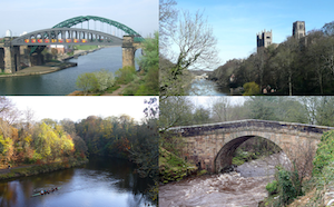
Topics > Geography > Rivers > River Wear > Shittlehope Burn
Shittlehope Burn
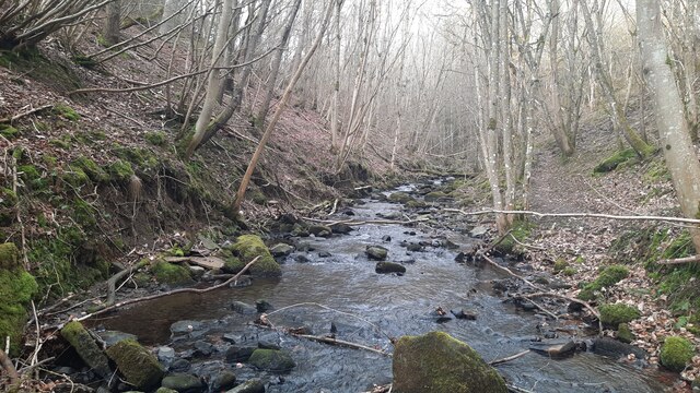
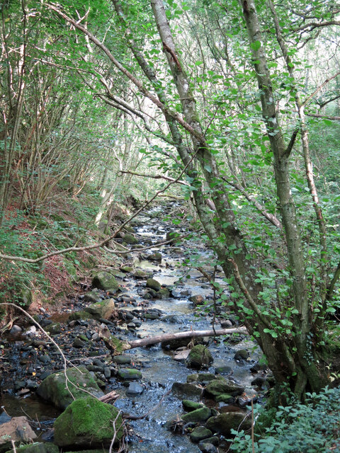
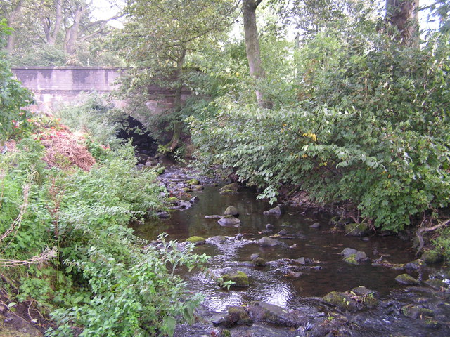
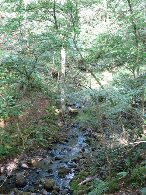
Shittlehope Burn is a tributary of the River Wear in County Durham. The burn flows in a south-easterly direction, past Shittlehope, and joins the Wear at the south-east of Stanhope.

Co-Curate Page
Stanhope
- Overview About Stanhope Map Street View Stanhope (pronounced in the regional dialect "Stanup") is a small market town in County Durham, in England. It is situated on the River …
Co-Curate Page
Shittlehope
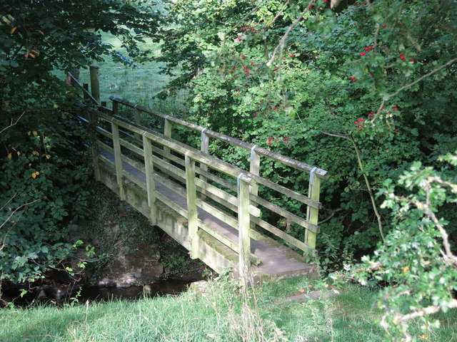
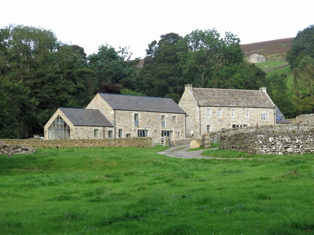
- Overview Map Street View Shittlehope is a hamlet in County Durham, located to the south-east of Stanhope. Shittlehope Burn flows in a south-west direction by Shittlehope Edge, past Shittlehopeside (ruined …

Co-Curate Page
Stanhope
- Overview About Stanhope Map Street View Stanhope (pronounced in the regional dialect "Stanup") is a small market town in County Durham, in England. It is situated on the River …