Topics > Geography > Rivers > River Aln > Shipley Burn
Shipley Burn
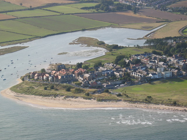
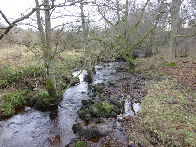
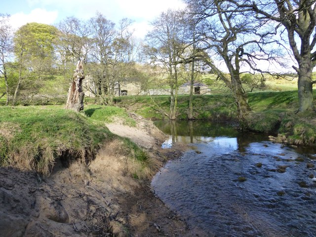
Shipley Burn is a tributary of the River Aln in Northumberland. The burn is 14.3 km long and has a catchment area of 21.3 km2.[1] It flows south, past the settlement of Shipley, and joins the Aln in Hulne Park.


Co-Curate Page
Shipley
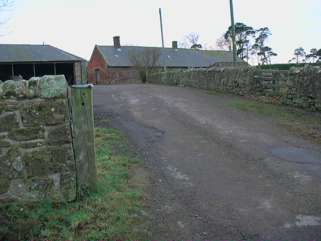
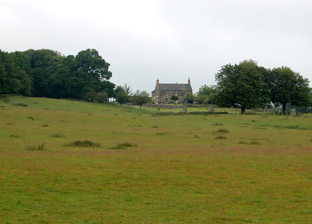
- Overview Map Shipley is a distributed community within the Civil Parish of Eglingham in Northumberland, located about 3½ miles north-west of Alnwick. Shipley Farm is located to the south of …

Co-Curate Page
Bassington (Alwick)
- Overview Map Bassington is a hamlet in Northumberland, located about 2½ miles north-west of Alnwick. It is situated near the confluence of Shipley Burn with the River Aln in Hulne Park. It …

Co-Curate Page
Shipley Bridge
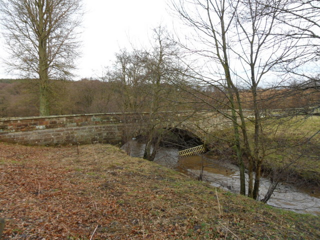
- Overview Map Street View Shipley Bridge carries the B6346 road over Shipley Burn at Shipley, about 3½ miles north-west of Alnwick. The stone segmental arch bridge dates from the late …
Co-Curate Page
Palmstrother Bridge
- Palmstrother Bridge in Hulne Park is a late 18th century stone bridge over Shipley Burn, just before its confluence with the River Aln. It is close to East Brizlee Bridge. Palmstrother Bridge …

Co-Curate Page
Shipley
- Overview Map Shipley is a distributed community within the Civil Parish of Eglingham in Northumberland, located about 3½ miles north-west of Alnwick. Shipley Farm is located to the south of …
Co-Curate Page
Bassington (Alwick)
- Overview Map Bassington is a hamlet in Northumberland, located about 2½ miles north-west of Alnwick. It is situated near the confluence of Shipley Burn with the River Aln in Hulne Park. It …
Co-Curate Page
Shipley Bridge
- Overview Map Street View Shipley Bridge carries the B6346 road over Shipley Burn at Shipley, about 3½ miles north-west of Alnwick. The stone segmental arch bridge dates from the late …