Topics > Geography > Rivers > River Aln > Shipley Burn > Eglingham Burn
Eglingham Burn
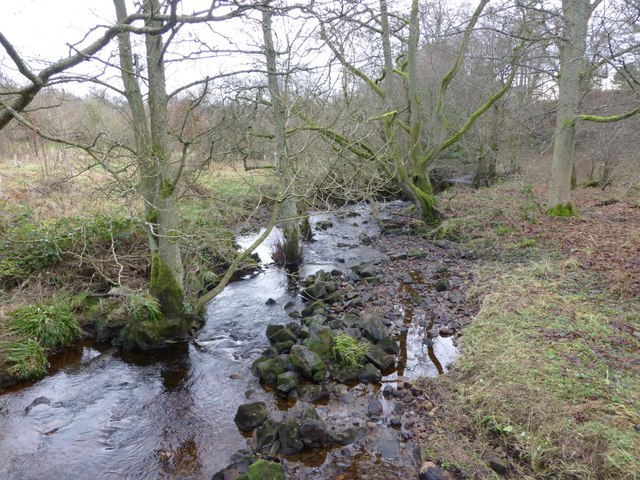
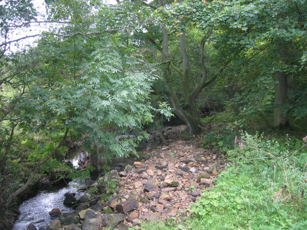
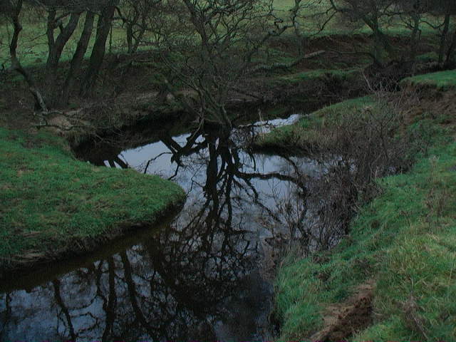
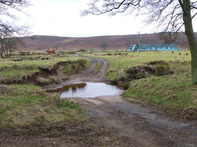
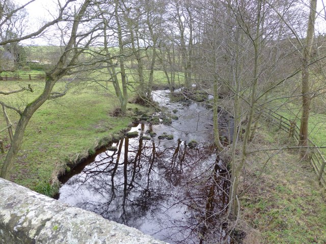
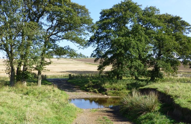
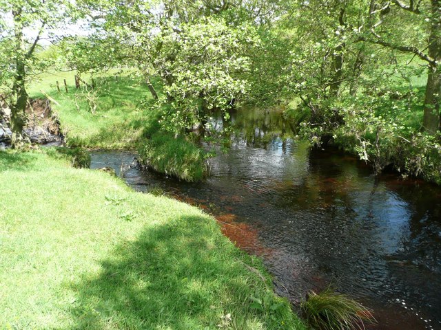
Eglingham Burn is a small river in Northumberland, which is a tributary of Shipley Burn, which flows into the River Aln. Eglingham Burn is 15.6 km long and has a catchment area of 34.4 km2.[1] The burn flows by the village of Eglingham and joins Shipley Burn in Hulne Park, shortly before it's confluence with the River Aln.
Co-Curate Page
Eglingham
- Overview About Eglingham Map Street View Eglingham is a village in Northumberland, England, situated about 7 miles (11 km) north-west of Alnwick and 10 miles (16 km) from Wooler. It lies …

from http://environment.data.gov.u…
Eglingham Burn from Source to Shipley Burn
Added by
Simon Cotterill

Co-Curate Page
Eglingham
- Overview About Eglingham Map Street View Eglingham is a village in Northumberland, England, situated about 7 miles (11 km) north-west of Alnwick and 10 miles (16 km) from Wooler. It lies …
from http://environment.data.gov.u…
Eglingham Burn from Source to Shipley Burn
Added by
Simon Cotterill


Grid ref:
NU1020719819


