Topics > Northumberland > Seaton Delaval > Seaton Delaval Colliery (1838-1960)
Seaton Delaval Colliery (1838-1960)
Seaton Delaval Colliery was opened in 1838, located at what is now the industrial estate and wooded area by Double Row, between Seaton Delaval and New Hartley. The colliery was initially owned by Joseph Lamb & Co, then by Seaton Delaval Coal Co., and by other owners over time. Some of the technology used here was unusual for collieries in this area, including tandem headgear on the shafts and the use of steam jets for ventilation.[1] In the mid 19th century a waggonway was built from Seaton Delaval to brickfields at the north-west of Newsham (these were pits for clays used in brick making, located on what is now Blyth golf course). In the late 19th century, this was developed into a railway to Forster Pit, at New Delaval, which opened in 1875.
The colliery grew into a network of pits (C,D,E,F, Hastings, Relief, and Forster Pits). By 1894, the colliery employed 3,020 people (2,482 working below ground and 538 working on the surface). The peak for numbers employed at the colliery was 3,255 in 1915, dropping to below 1,000 by 1940.[2] The colliery came under the National Coal Board when the coal industry was nationalised in 1947. Seaton Delaval Colliery closed on the 27th of May, 1960.
Unlike the nearby Hester Pit, there were no disasters (classes as having 5 or more people killed in one accident), however, it is notable that there were 177 mining deaths over the lifetime of Seaton Delaval Colliery.[3]
It was the opening of the colliery that resulted in the rapid growth of Seaton Delaval. Prior to the colliery opening, the population of the township of Seaton Delaval (largely, Seaton Delaval Hall, the hamlet of Whitridge, and a few farms) was just 240 in 1831, but by the time of the 1841 Census it had grown to 1,568. Also, Hester Pit at nearby New Hartley opened in 1846. By 1851, the population of Seaton Delaval had grown to 2,726, an increase of over 10 fold, compared to 20 years earlier, in association with coal mining.[4] By 1855 there were eight rows of cottages connected with the colliery. The Ordnance Survey map of 1865 shows two rows of terrace houses; Double Row and Wheatridge Row, also built for accommodation for the workers at the colliery.[5] Further accommodation was built for miners and their families over time (the housing was often tied to working at the colliery and only granted for a single year at a time).

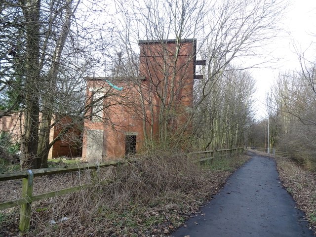
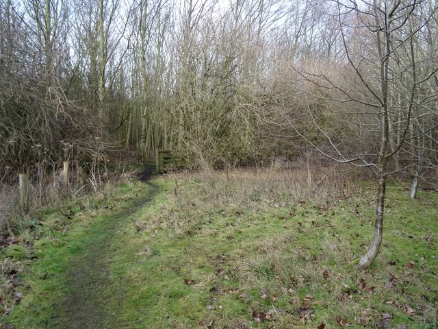
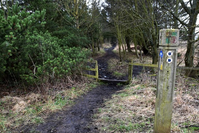
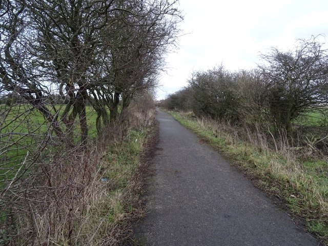
from Geograph (geograph)
Waggonway towards Seaton Delaval Pit from Plessey Lane
Pinned by Simon Cotterill

from https://keystothepast.info/se…
Double Row and Wheatridge Row terraced houses at Seaton Delaval
- "Two terrace rows: Double and Wheatridge, the houses and associated garden plots are depicted on the Ordnance Survey map of 1865. They provided accomodation for the workers at Seaton Delaval …
Added by
Simon Cotterill
from https://keystothepast.info/se…
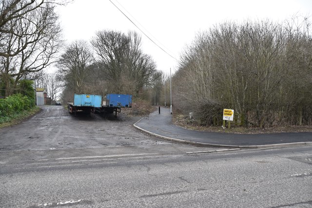
Brick Fields near Horton (Blyth)
- "These are extraction pits for clays shown in early mapping of the area. The southeast of Northumberland had a number of surface and below-ground clay exploitation. Here the working was …
Added by
Simon Cotterill
from https://keystothepast.info/se…
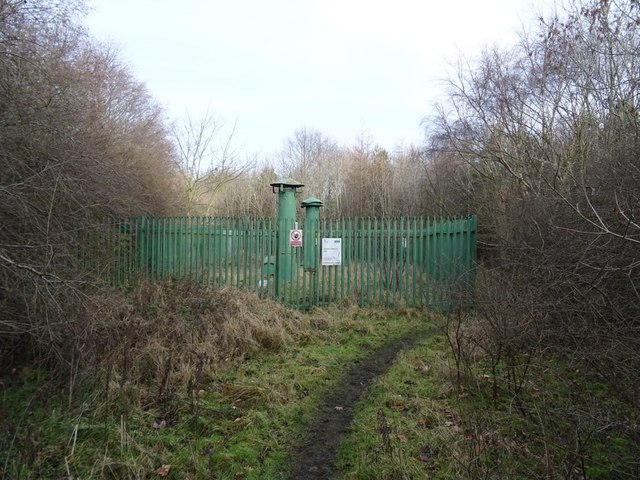
Seaton Delaval Colliery
- "Seaton Delaval colliery is shown at this site on the First Edition Ordnance Survey map of 1865. It was founded in 1838 by the Seaton Delaval Coal Company and operated …
Added by
Simon Cotterill

from Geograph (geograph)
Waggonway towards Seaton Delaval Pit from Plessey Lane
Pinned by Simon Cotterill
from https://keystothepast.info/se…
Double Row and Wheatridge Row terraced houses at Seaton Delaval
- "Two terrace rows: Double and Wheatridge, the houses and associated garden plots are depicted on the Ordnance Survey map of 1865. They provided accomodation for the workers at Seaton Delaval …
Added by
Simon Cotterill
from https://keystothepast.info/se…
Brick Fields near Horton (Blyth)
- "These are extraction pits for clays shown in early mapping of the area. The southeast of Northumberland had a number of surface and below-ground clay exploitation. Here the working was …
Added by
Simon Cotterill
from https://keystothepast.info/se…
Seaton Delaval Colliery
- "Seaton Delaval colliery is shown at this site on the First Edition Ordnance Survey map of 1865. It was founded in 1838 by the Seaton Delaval Coal Company and operated …
Added by
Simon Cotterill