Topics > Geography > Rivers > River Coquet > Wreigh Burn > Scrainwood Burn
Scrainwood Burn
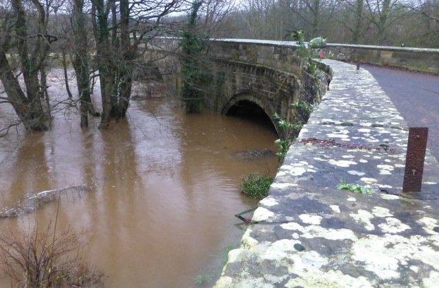
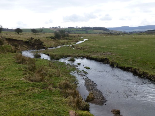
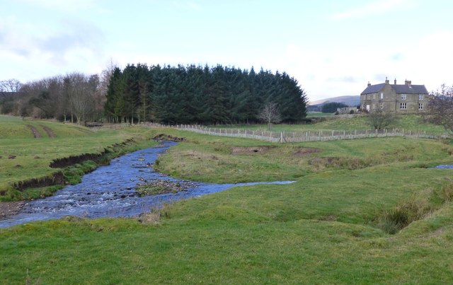
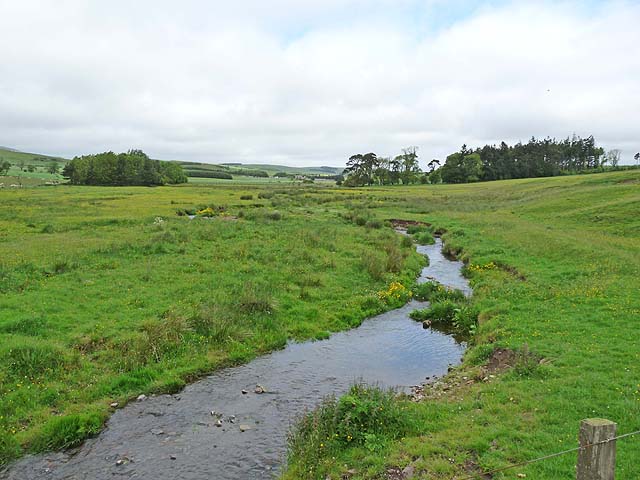
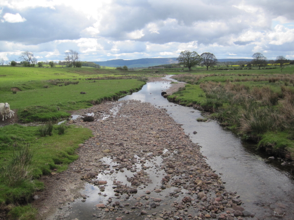
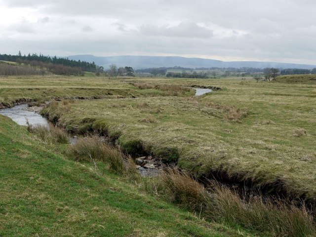
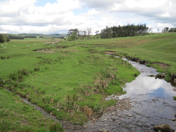
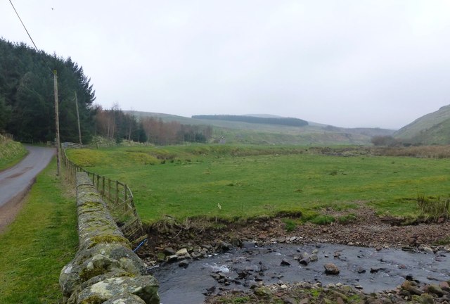
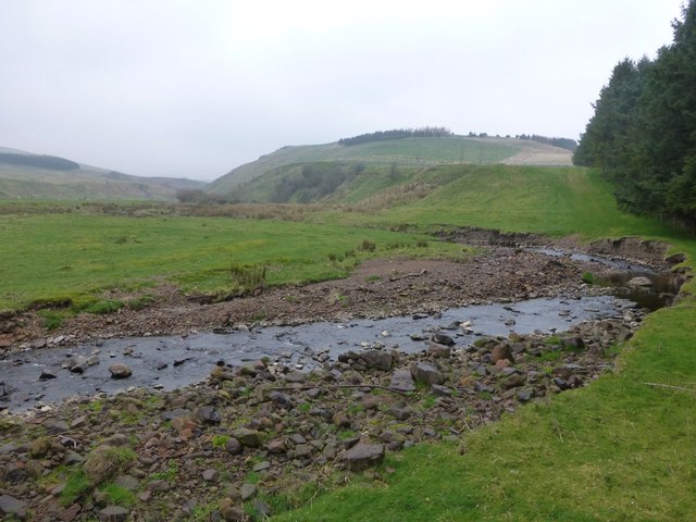
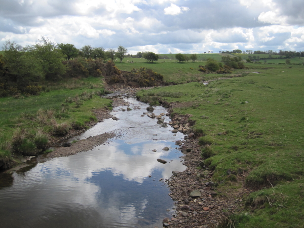
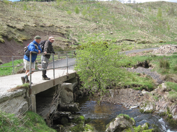
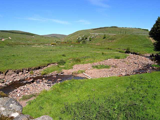
Scrainwood Burn is a small river in Northumberland.

from Geograph (geograph)
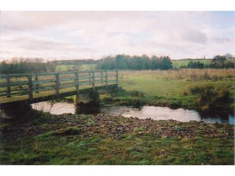
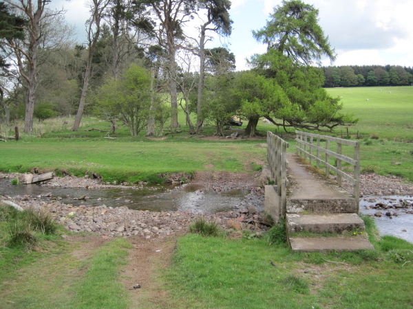
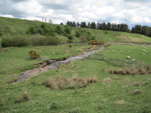
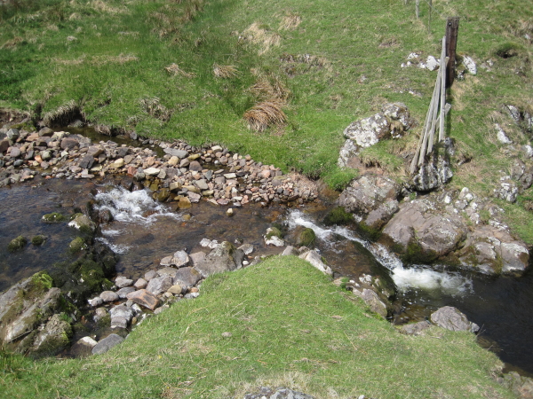
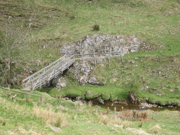
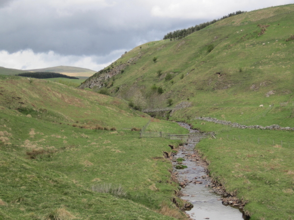
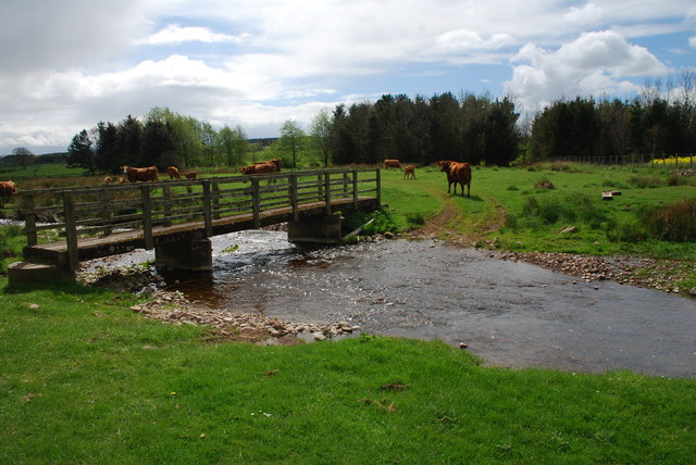
Footbridge over Scrainwood Burn south of Hazeltonrig
Pinned by Simon Cotterill
Co-Curate Page
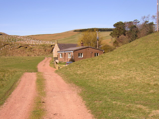
Hazeltonrig
- Overview Map Hazeltonrig is a hamlet in Northumberland, located about half a mile south-west of Alnham. There are a couple of buildings and Hazeltonrig Plantation; Old Hazeltonrig (farm) is located nearby …
Co-Curate Page
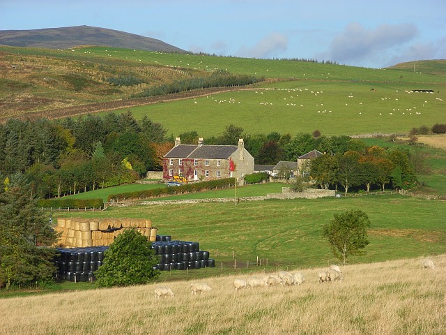
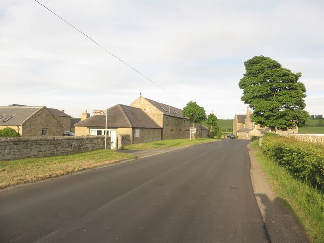
Netherton Burnfoot
- Overview Map Street View Netherton Burnfoot is a hamlet, located about half a mile south-east of the village of Netherton in Northumberland. It's name derives from it's close location to …

from Geograph (geograph)
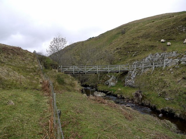
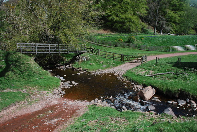
Footbridge over Scrainwood Burn south of Hazeltonrig
Pinned by Simon Cotterill
Co-Curate Page
Hazeltonrig
- Overview Map Hazeltonrig is a hamlet in Northumberland, located about half a mile south-west of Alnham. There are a couple of buildings and Hazeltonrig Plantation; Old Hazeltonrig (farm) is located nearby …