Topics > Northumberland > Netherton Burnfoot

Netherton Burnfoot


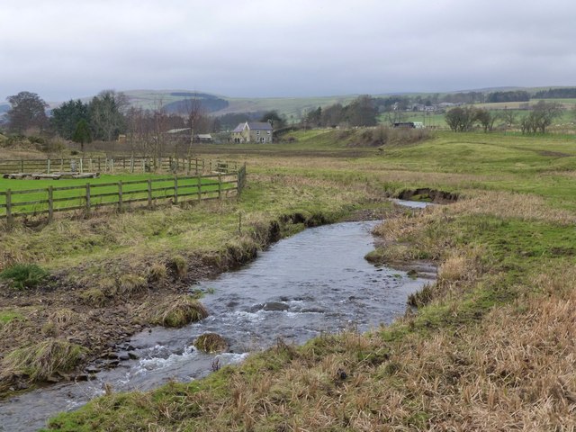
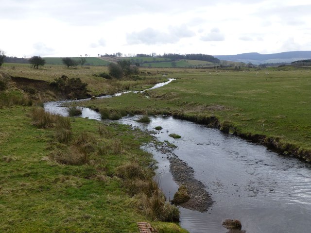
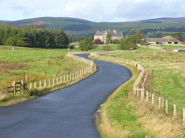
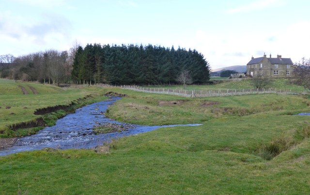
Netherton Burnfoot is a hamlet, located about half a mile south-east of the village of Netherton in Northumberland. It's name derives from it's close location to the confluence of Netherton Burn and Scrainwood Burn, which join to form Wreigh Burn. ie. at the foot (end) of Netherton Burn.

Northumberland Wreigh Burn Netherton Burn Scrainwood Burn Netherton Netherton Civil Parish
from Geograph (geograph)
Minor road through Netherton Burnfoot

Pinned by Simon Cotterill
from Geograph (geograph)
Postbox, Netherton Burnfoot

Pinned by Simon Cotterill
from Geograph (geograph)
Road at Netherton

Pinned by Simon Cotterill
from Geograph (geograph)
Confluence of Netherton Burn and Scrainwood Burn

Pinned by Simon Cotterill
from https://keystothepast.info/se…
Water Mill at Netherton Burnfoot
- "A watermill stood at Netherton Burnfoot....Historical period: Post Medieval (1540 to 1901)...."

Added by
Simon Cotterill

Comments

Add a comment or share a memory.

Login to add a comment. Sign-up if you don't already have an account.


ABOUT US

Co-Curate is a project which brings together online collections, museums, universities, schools and community groups to make and re-make stories and images from North East England and Cumbria. Co-Curate is a trans-disciplinary project that will open up 'official' museum and 'un-officia'l co-created community-based collections and archives through innovative collaborative approaches using social media and open archives/data.

LATEST SHARED RESOURCES