Topics > Cumbria > Rivers in Cumbria > River Nent
River Nent
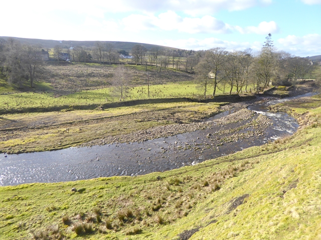
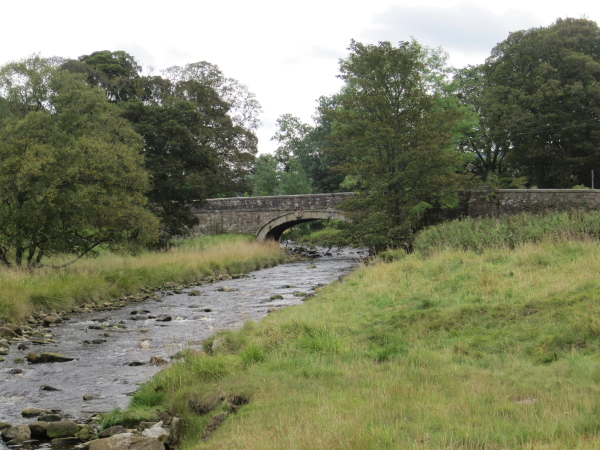
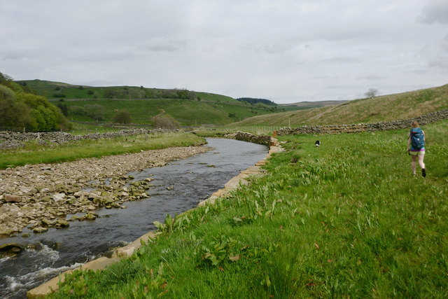
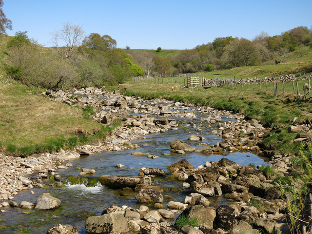
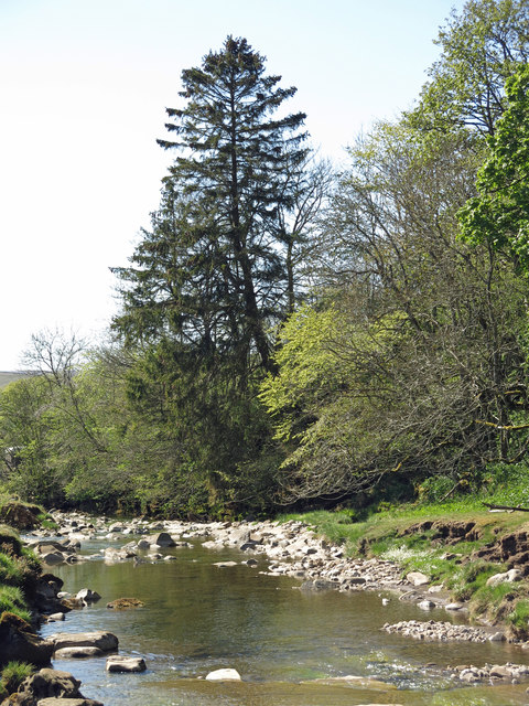
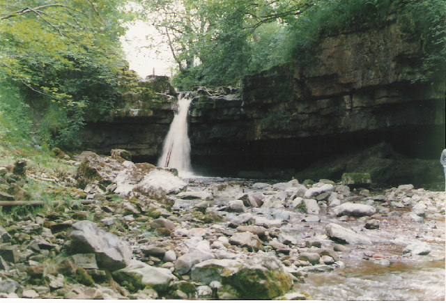
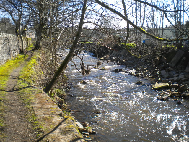
The River Nent in Cumbria is a tributary of the River South Tyne. The river is about 11½ km long and has a catchment area of 29.3 km2.[1] The river flows in a roughly north westerly direction, through the village of Nenthead and the hamlets of Nentsberry and Nenthall, before joining the South Tyne at Alston. Historically, there was extensive mining for lead and zinc along the Nent valley.
from Geograph (geograph)
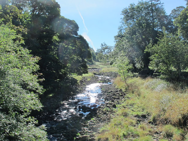
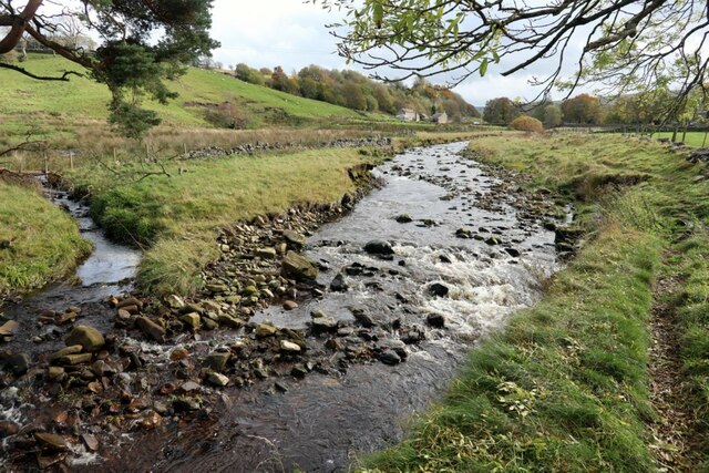
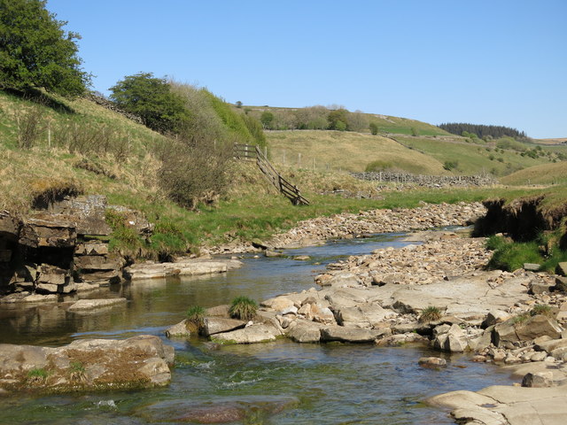
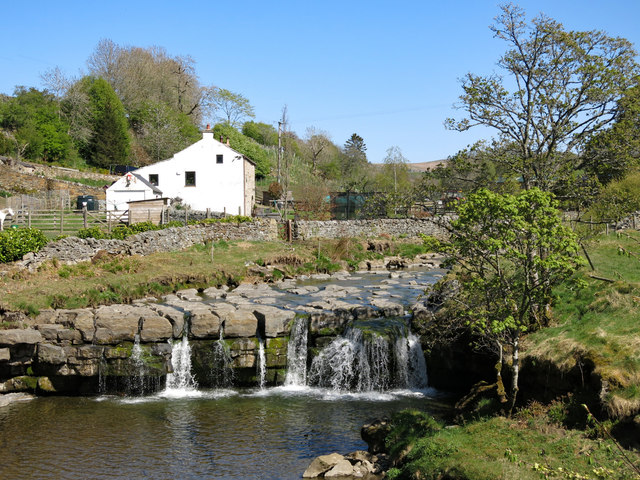
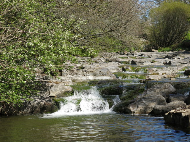
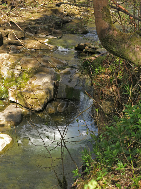
Small waterfall on the River Nent above High Force
Pinned by Simon Cotterill
from Geograph (geograph)
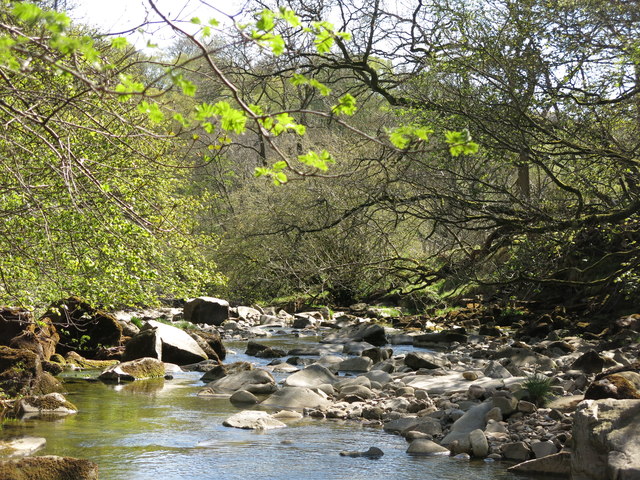
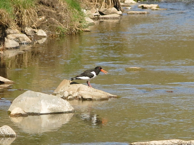
Oyster catcher on a rock in the River Nent below Far Hilltop
Pinned by Simon Cotterill
from Geograph (geograph)
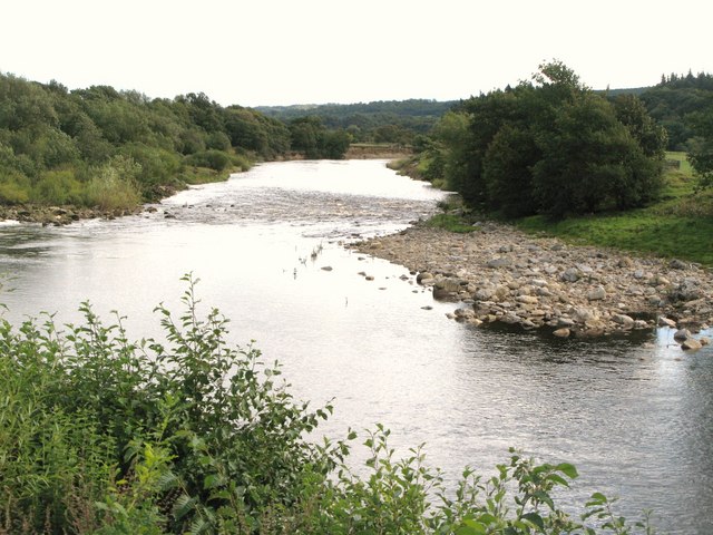
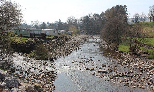
Confluence of the rivers Nent and South Tyne, Alston
Pinned by Simon Cotterill
Co-Curate Page
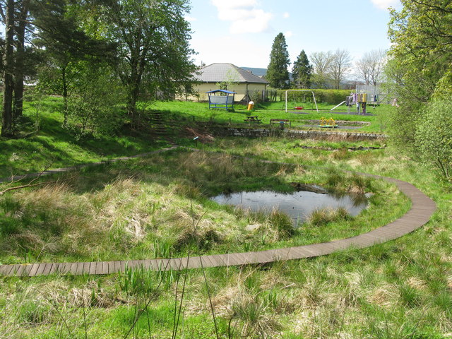
Mill Burn, Mill Races and Fairfield Dam
- Overview Fairfield Dam Mill Burn was a fast flowing stream which flowed through Alston and joined the River Nent shortly before it's confluence with the River South Tyne. It was …
Co-Curate Page
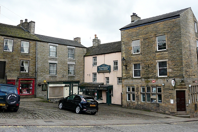
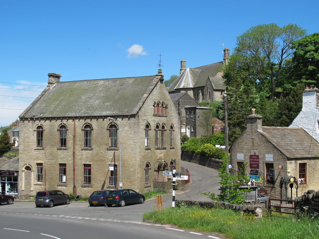
Alston
- Overview About Alston Map Street View Alston is a small town in Cumbria, England, within the civil parish of Alston Moor on the River South Tyne. It shares the …
Co-Curate Page
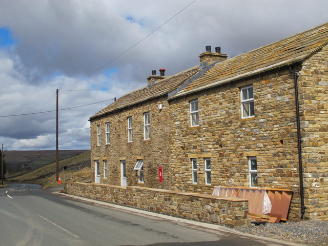
Nenthead
- Overview About Nenthead Map Street View Nenthead is a village in the Eden district of Cumbria, located about 4 miles south-east of Alston. Nenthead is situated by the River Nent and the smaller …
Co-Curate Page
Nentsberry
- Overview Map Street View Nentsberry is a distributed hamlet in the Eden district of Cumbria, located about 3 miles south east of Alston. It is on the A689 road, between …

Co-Curate Page
Nenthall
- Overview Map Street View Nenthall is a hamlet in the Eden district of Cumbria, located on the A689 road, about 2½ miles east of Alston and 2 miles north west of Nenthead. Nenthall Bridge …
Co-Curate Page
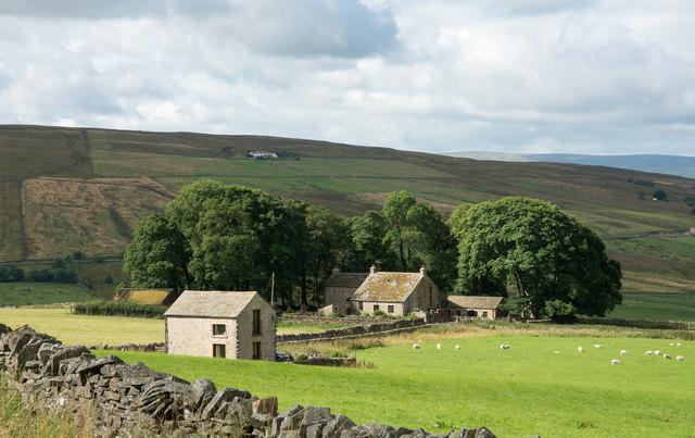
Cocklake, Alston
- Overview Map Street View West Cocklake and East Cocklake are located near Nenthall, about 2 miles east of Alston and 2½ miles north-west of Nenthead in Cumbria. They are situated …
Co-Curate Page
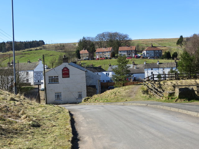
Overwater, Nenthead
- Overview Map Street View Overwater is a hamlet located to the west of the River Nent, immediately opposite Nenthead.
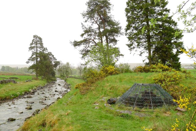
from Geograph (geograph)
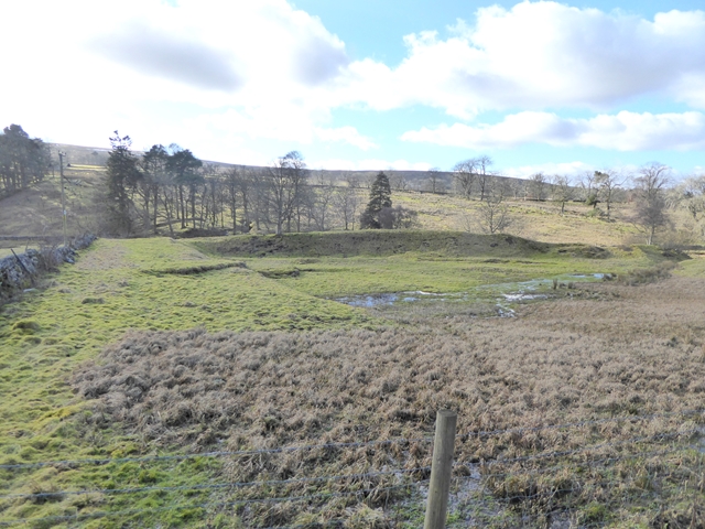
Mine ventilation shaft by the River Nent, Lovelady Shield
Pinned by Simon Cotterill

Co-Curate Page
Gossipgate Bridge, Alston
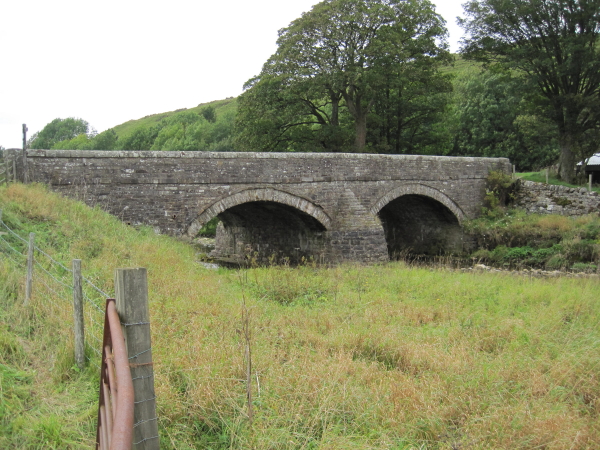
- Overview Map Gossipgate Bridge is a road bridge over the River Nent, located about ½ mile east of Alston. The stone bridge dates from the 18th century and has a …


from Geograph (geograph)
Small waterfall on the River Nent above High Force
Pinned by Simon Cotterill

from Geograph (geograph)
Oyster catcher on a rock in the River Nent below Far Hilltop
Pinned by Simon Cotterill

from Geograph (geograph)
Confluence of the rivers Nent and South Tyne, Alston
Pinned by Simon Cotterill

Co-Curate Page
Mill Burn, Mill Races and Fairfield Dam
- Overview Fairfield Dam Mill Burn was a fast flowing stream which flowed through Alston and joined the River Nent shortly before it's confluence with the River South Tyne. It was …

Co-Curate Page
Alston
- Overview About Alston Map Street View Alston is a small town in Cumbria, England, within the civil parish of Alston Moor on the River South Tyne. It shares the …

Co-Curate Page
Nenthead
- Overview About Nenthead Map Street View Nenthead is a village in the Eden district of Cumbria, located about 4 miles south-east of Alston. Nenthead is situated by the River Nent and the smaller …

Co-Curate Page
Nentsberry
- Overview Map Street View Nentsberry is a distributed hamlet in the Eden district of Cumbria, located about 3 miles south east of Alston. It is on the A689 road, between …

Co-Curate Page
Nenthall
- Overview Map Street View Nenthall is a hamlet in the Eden district of Cumbria, located on the A689 road, about 2½ miles east of Alston and 2 miles north west of Nenthead. Nenthall Bridge …

Co-Curate Page
Cocklake, Alston
- Overview Map Street View West Cocklake and East Cocklake are located near Nenthall, about 2 miles east of Alston and 2½ miles north-west of Nenthead in Cumbria. They are situated …

Co-Curate Page
Overwater, Nenthead
- Overview Map Street View Overwater is a hamlet located to the west of the River Nent, immediately opposite Nenthead.

from Geograph (geograph)
Mine ventilation shaft by the River Nent, Lovelady Shield
Pinned by Simon Cotterill

