Topics > Cumbria > Rivers in Cumbria > River Irthing > Butter Burn

Butter Burn


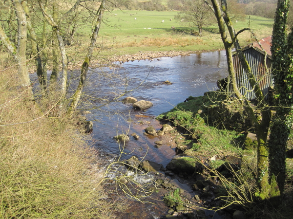
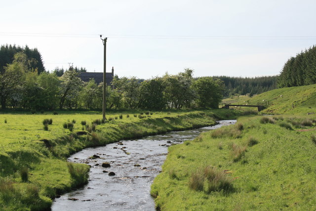
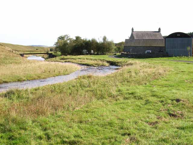
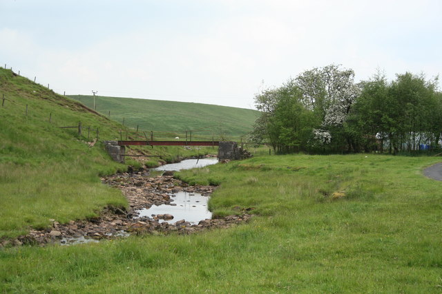
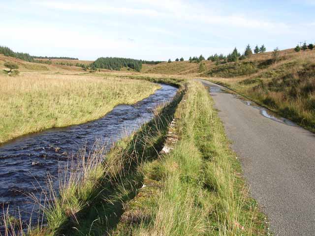
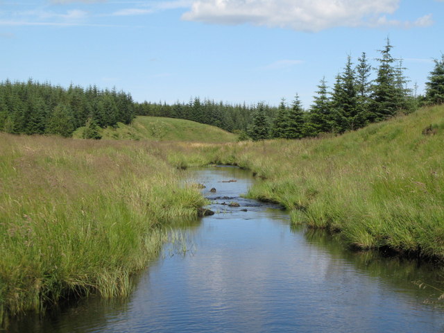
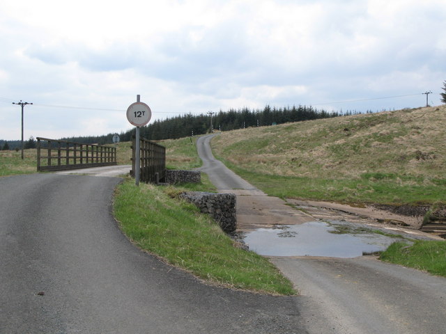
Butter Burn is a tributary of the River Irthing in Cumbria. The burn has a catchment area of 16.4 km2 and is 13.4 km long.[1]

River Irthing
from Geograph (geograph)
Butterburn Bridge

Pinned by Simon Cotterill
from Geograph (geograph)
Butterburn Farm

Pinned by Simon Cotterill
from Geograph (geograph)
Footbridge at Butterburn Farm

Pinned by Simon Cotterill
from Geograph (geograph)
The Butter Burn

Pinned by Simon Cotterill
from Geograph (geograph)
Butter Burn

Pinned by Simon Cotterill
from Geograph (geograph)
Bridge and ford on Butter Burn

Pinned by Simon Cotterill
from https://environment.data.gov.…
Butter Burn Water Body

Added by
Simon Cotterill

Comments

Add a comment or share a memory.

Login to add a comment. Sign-up if you don't already have an account.


ABOUT US

Co-Curate is a project which brings together online collections, museums, universities, schools and community groups to make and re-make stories and images from North East England and Cumbria. Co-Curate is a trans-disciplinary project that will open up 'official' museum and 'un-officia'l co-created community-based collections and archives through innovative collaborative approaches using social media and open archives/data.

LATEST SHARED RESOURCES