Topics > Cumbria > Rivers in Cumbria > River Eamont
River Eamont
The River Eamont is a river in Cumbria, England and one of the major tributaries of the River Eden. The name of the river is from Old English (ēa-gemōt) and is a back formation from Eamont Bridge which means the junction of streams.
The river is formed by the outflow from Ullswater in the Lake District, later augmented by Dacre Beck from the west and the River Lowther which carries the water from Haweswater north to the Eamont at Penrith. It reaches the Eden east of Penrith.
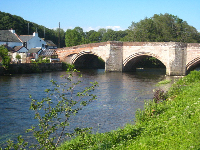
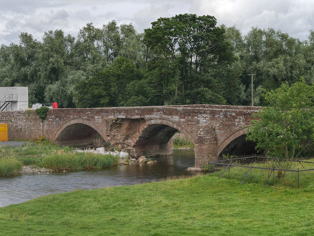
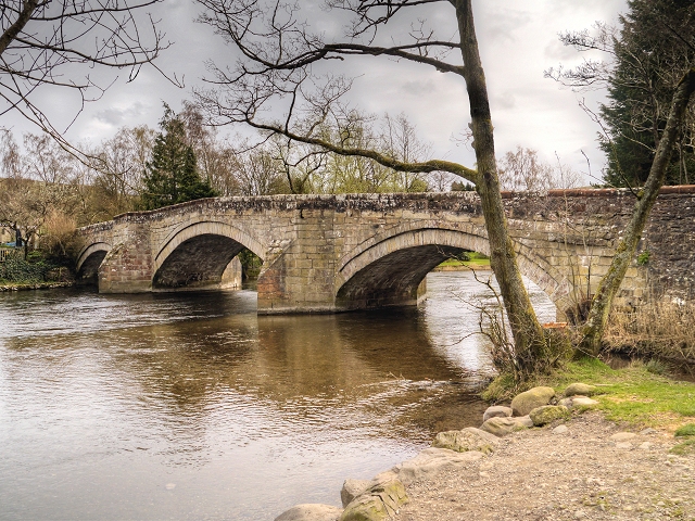
The river has flooded on numerous occasions, with the most recent being when Storm Desmond hit in December 2015. During the flooding, 300-year old Pooley Bridge was washed away and a temporary bridge had to be installed to reconnect the two halves of the village. The same storm caused damage to the grade I listed Eamont Bridge, but after masonry work, it re-opened in March 2016.
Visit the page: River Eamont for references and further details. You can contribute to this article on Wikipedia.
from Geograph (geograph)
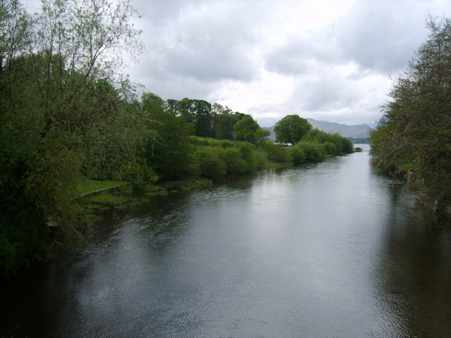
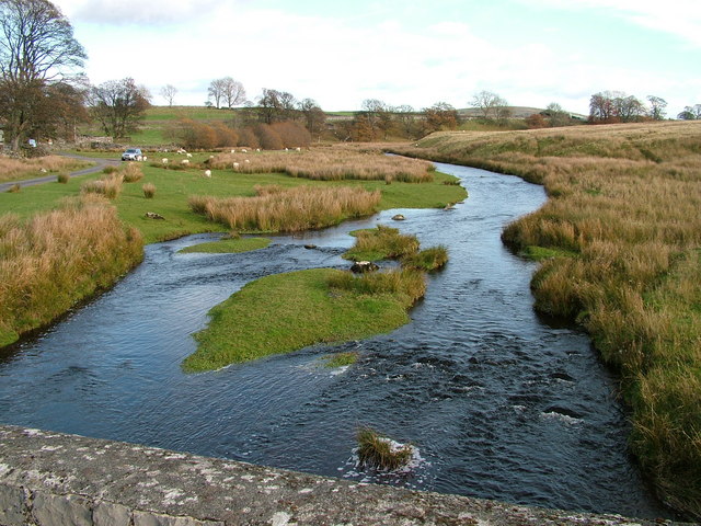
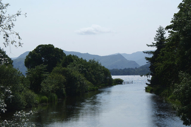
River Eamont flowing out of Ullswater at Pooley Bridge
Pinned by Simon Cotterill
Co-Curate Page
Ullswater
- Overview About Ulswater Map Street View Ullswater is the second largest lake in the English Lake District, being approximately nine miles (14.5 kilometres) long and 0.75 miles (1,200 m) …
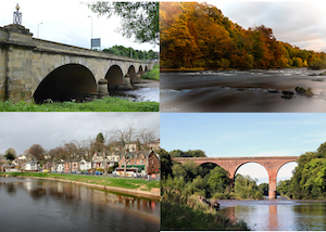
Co-Curate Page
River Eden (Cumbria)
- Overview About the River Eden The River Eden is a major river in Cumbria, which discharges into the Solway Firth. The settlements along the river include Kirkby Stephen, Appleby-in-Westmorland, Bolton, Wetheral, …
Co-Curate Page
Brougham
- Overview About Brougham Map Street View Brougham is a dispersed hamlet, located just over a mile south-east of Penrith Cumbria. There are are a number of farms in the area …
Co-Curate Page
Brougham Castle
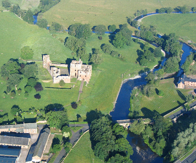
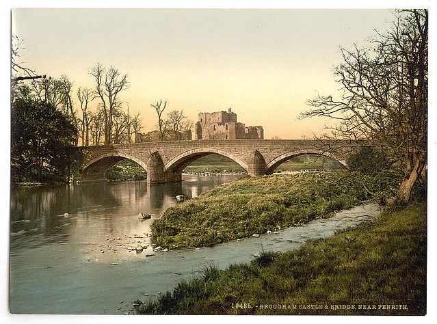
- Overview About Brougham Castle Map Street View Located about a mile south-east of Penrith in Cumbria. Brougham Castle (pronounced /ˈbruːm/) is a medieval building about 2 miles (3.2 km) south-east …
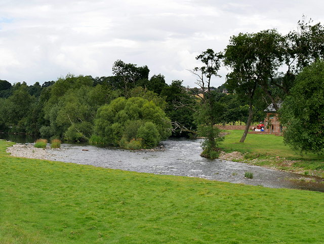
from Geograph (geograph)
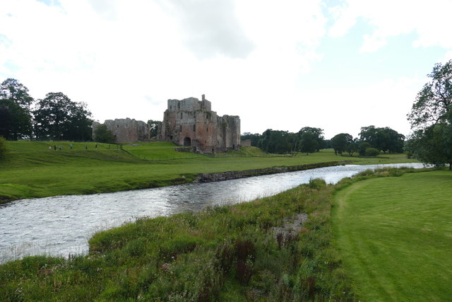
Confluence of Rivers Eamont and Lowther near Brougham Castle
Pinned by Edmund Anon
Co-Curate Page
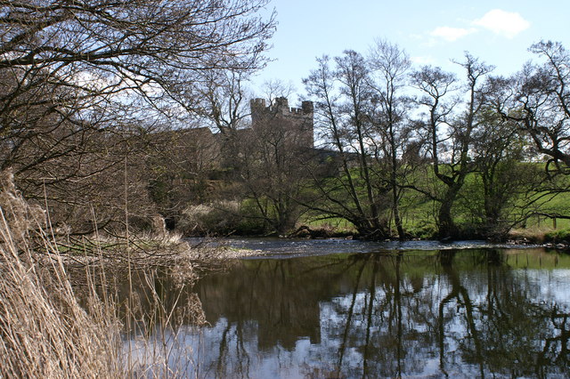
Yanwath Hall
- Overview Map Street View Yanwath Hall and farm is situated by the River Eamont to the north of the village of Yanwath in Cumbria. The hall incorporates a 14th century fortified …
Co-Curate Page
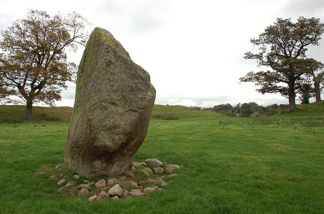
Mayburgh Henge
- Overview About Mayburgh Henge Map Street View Henges are ritual or ceremonial sites which date to the Late Neolithic period (2800-2000 BC). Mayburgh Henge is located close to the confluence …


from Geograph (geograph)
River Eamont flowing out of Ullswater at Pooley Bridge
Pinned by Simon Cotterill

Co-Curate Page
Ullswater
- Overview About Ulswater Map Street View Ullswater is the second largest lake in the English Lake District, being approximately nine miles (14.5 kilometres) long and 0.75 miles (1,200 m) …

Co-Curate Page
River Eden (Cumbria)
- Overview About the River Eden The River Eden is a major river in Cumbria, which discharges into the Solway Firth. The settlements along the river include Kirkby Stephen, Appleby-in-Westmorland, Bolton, Wetheral, …

Co-Curate Page
Brougham
- Overview About Brougham Map Street View Brougham is a dispersed hamlet, located just over a mile south-east of Penrith Cumbria. There are are a number of farms in the area …

Co-Curate Page
Brougham Castle
- Overview About Brougham Castle Map Street View Located about a mile south-east of Penrith in Cumbria. Brougham Castle (pronounced /ˈbruːm/) is a medieval building about 2 miles (3.2 km) south-east …

from Geograph (geograph)
Confluence of Rivers Eamont and Lowther near Brougham Castle
Pinned by Edmund Anon

Co-Curate Page
Yanwath Hall
- Overview Map Street View Yanwath Hall and farm is situated by the River Eamont to the north of the village of Yanwath in Cumbria. The hall incorporates a 14th century fortified …

