Topics > Geography > Rivers > River Breamish
River Breamish
Map showing the river and catchment area - downstream of the information point it is known as the River Breamish and upstream as the River Till.
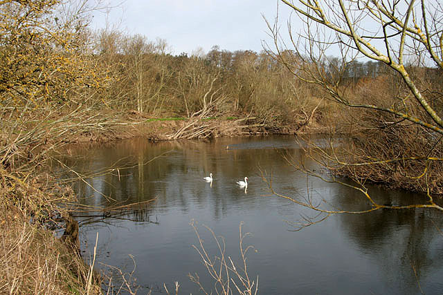
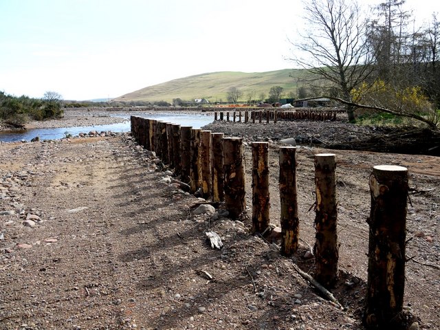
The lower course of the river, downstream of Bewick Bridge (near Old Bewick), is known as the River Breamish; upstream it is known as the River Till. The river (Breamish and Till combined) is about 83km long. The Till discharges into the River Tweed by the England-Scotland Border. Linhope Burn is one of the major tributaries of the River Breamish.
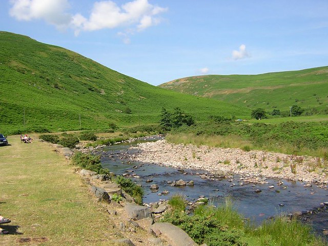
The Breamish Valley is an important archaeological area with numerous prehistoric sites, including Iron Age hillforts, burial cairns, and ancient cultivation terraces.

from https://commons.wikimedia.org…
Tributaries of the River Tweed catchment
- Image by Notuncurious available on a Creative Commons Attribution-Share Alike 3.0 Unported license.
Added by
Pat Thomson

Co-Curate Page
River Till
- Interactive map showing the river and catchment area - downstream of the information point it is known as the River Breamish and upstream as the River Till. The River Till …

Co-Curate Page
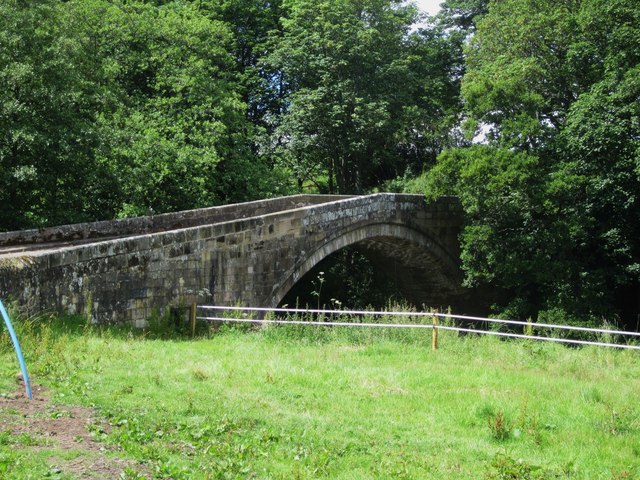
Bewick Bridge
- Overview Map Street View The stone road bridge near Old Bewick in Northumberland was built in the early 19th century, or possibly earlier. There is also a small hamlet by …

Co-Curate Page
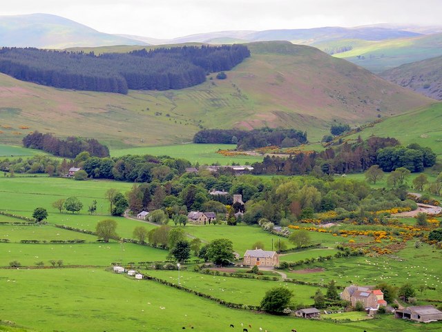
Greaves Ash camp
- Scheduled Monument area - based on Historic England data (Open Government Licence). Greaves Ash camp is the site of a large Iron Age and Romano-British settlement, situated onhigh ground by …

from https://commons.wikimedia.org…
Tributaries of the River Tweed catchment
- Image by Notuncurious available on a Creative Commons Attribution-Share Alike 3.0 Unported license.
Added by
Pat Thomson
Co-Curate Page
River Till
- Interactive map showing the river and catchment area - downstream of the information point it is known as the River Breamish and upstream as the River Till. The River Till …
Co-Curate Page
Bewick Bridge
- Overview Map Street View The stone road bridge near Old Bewick in Northumberland was built in the early 19th century, or possibly earlier. There is also a small hamlet by …


