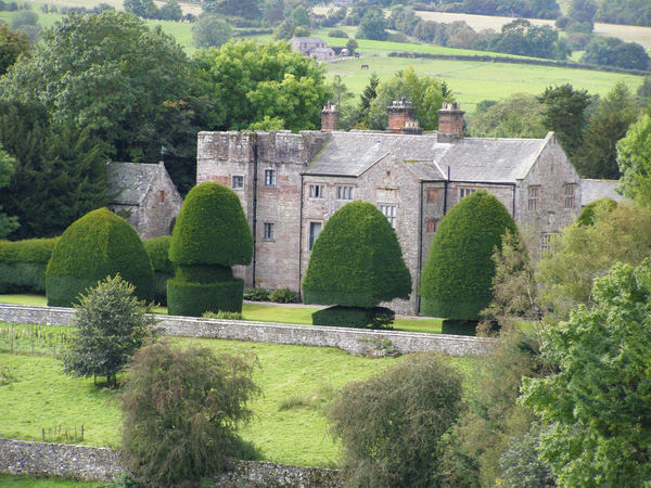
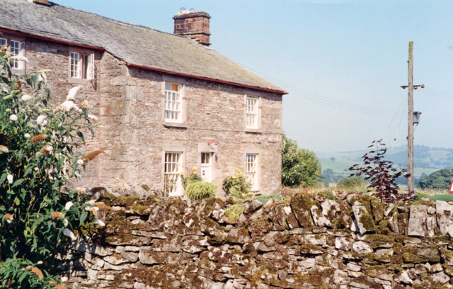
Hutton John


-
Description
"Township in Greystoke parish, Leath ward, Cumberland. Combined with Hutton Soil to form Hutton CP 1934. Acreage: 690 acres [279 ha], including detached portion of 133 acres [54 ha] at Lacet. Population: in range 20-50 across 19th and early 20th century (peak 50 in 1891); stood at 22 in 1931 (last census year for which separate figure available)....." -
Owner
Cumbria County History Trust -
Source
Local (Co-Curate) -
License
What does this mean? Unknown license check permission to reuse
-
Further information
Link: https://www.cumbriacountyhistory.org.uk/township/hutton-john
Resource type: Text/Website
Added by: Simon Cotterill
Last modified: 7 years ago
Viewed: 863 times
Picture Taken: Unknown -
Co-Curate tags


