Topics > Tyne and Wear > North Tyneside > Whitley Bay > St Mary's Island and Lighthouse > Rangefinder Pillar, St Mary's Island
Rangefinder Pillar, St Mary's Island
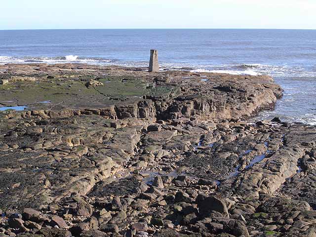
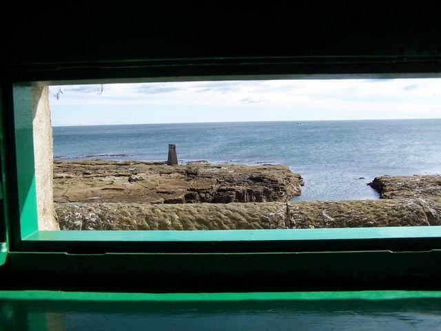
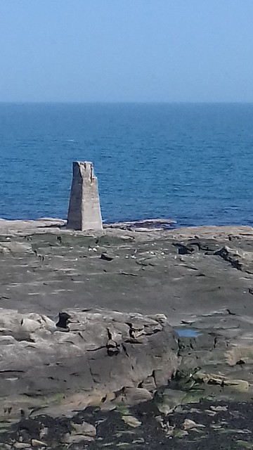
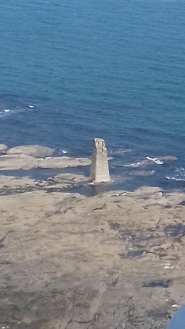
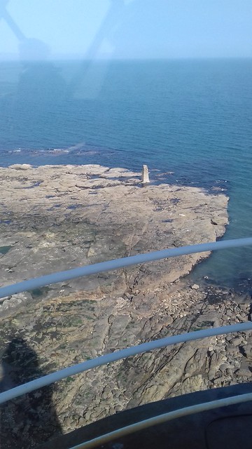
There is a concrete pillar on the rocks to the east of St Mary's Island. It was originally built in 1914 as a rangefinder to calibrate coastal defence artillery guns at Tynemouth Castle during the First World War. It was used for the same purpose, and possibly modified, during World War 2. (Source: SiteLines). The pillar is partly submerged at high tide.

from http://www.twsitelines.info/S…
Tyne and Wear HER(1987): St. Mary's Island, concrete pillar
Added by
Simon Cotterill
Co-Curate Page
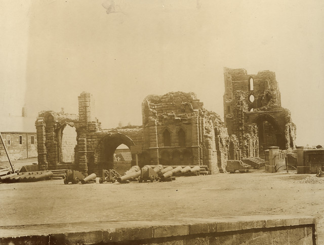
Tynemouth Priory and Castle
- Overview History Aerial View Street View Tynemouth Castle is located on a rocky headland (known as Pen Bal Crag) at Tynemouth, overlooking Tynemouth Pier and the mouth of the River …
Co-Curate Page
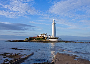
St Mary's Island and Lighthouse
- A Brief History About the Island About the Lighthouse Map Street View St Mary’s Island is a tidal island located off Curry's Point to the north of Whitley Bay, accessed by …


from http://www.twsitelines.info/S…
Tyne and Wear HER(1987): St. Mary's Island, concrete pillar
Added by
Simon Cotterill

Co-Curate Page
Tynemouth Priory and Castle
- Overview History Aerial View Street View Tynemouth Castle is located on a rocky headland (known as Pen Bal Crag) at Tynemouth, overlooking Tynemouth Pier and the mouth of the River …


