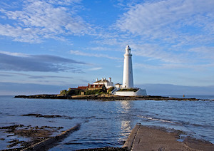
Rangefinder, St Mary's Island


-
Description
This concrete pillar is located at the East of St Mary's Island. It was originally built in 1914 as a rangefinder to calibrate coastal defence artillery guns at Tynemouth Castle during the First World War. It was used for the same purpose, and possibly modified, during World War 2. -
Owner
Simon_Cotterill -
Source
Flickr (Flickr) -
License
What does this mean? Attribution License
-
Further information
Link: https://www.flickr.com/photos/137828720@N06/41627260841/
Resource type: Image
Added by: Simon Cotterill
Last modified: 8 years ago
Viewed: 919 times
Picture Taken: 2018-04-21T15:02:34 -
Co-Curate tags


