Topics > Cumbria > Pooley Bridge
Pooley Bridge
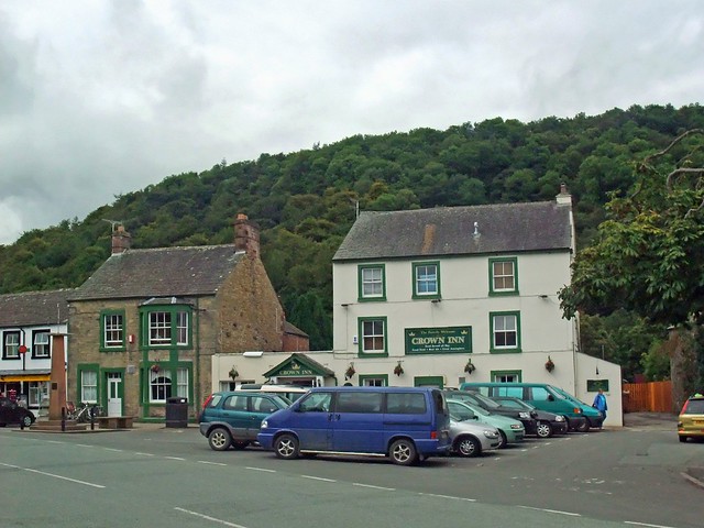
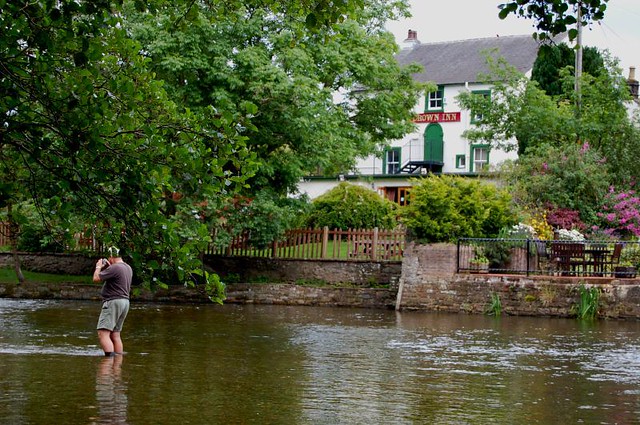
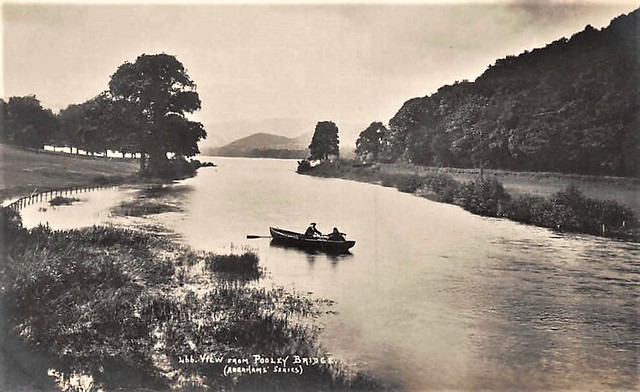
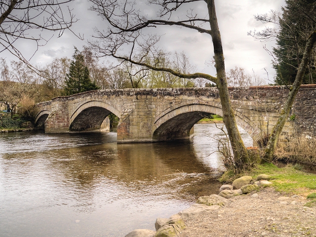
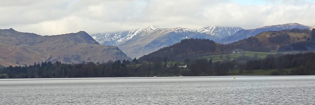
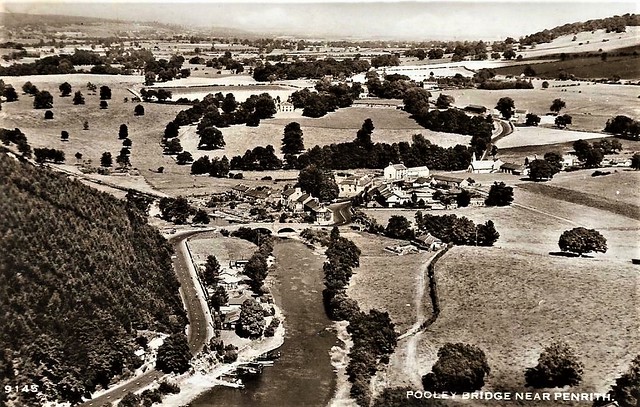
POOLEY, a neat village, in the township of High Barton, parish of Barton, West ward and union, county of Westmorland, 5½ miles (S.W. by S.) from Penrith. This place is situated at the foot of the lake Ulswater; and the river Eamont, which flows out of the lake, is here crossed by a handsome bridge of three arches, uniting at this point Westmorland and Cumberland. It possesses great attractions, having extensive and diversified scenery, resources for angling, and several barges and skiffs. From Pooley to Patterdale, the head of the lake, the distance is nine miles, in a serpentine course, through an enchanting country.
Extract from: A Topographical Dictionary of England comprising the several counties, cities, boroughs, corporate and market towns, parishes, and townships..... 7th Edition, by Samuel Lewis, London, 1848.
Pooley Bridge is a village in the Eden District of the northwestern English county of Cumbria, within the traditional borders of Westmorland.
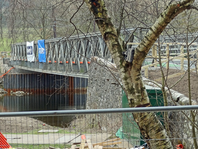
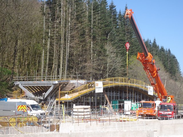
The village takes its name from a bridge over the River Eamont at the northern end of Ullswater. The bridge, erected in 1764 and replacing an earlier bridge from the 16th century, collapsed on 6 December 2015 when Cumbria was hit by heavy flooding as a result of Storm Desmond. A temporary replacement bridge was opened on 20 March 2016.
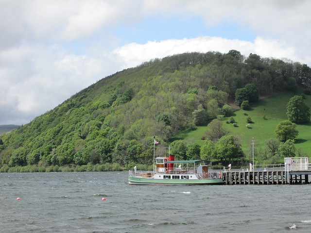
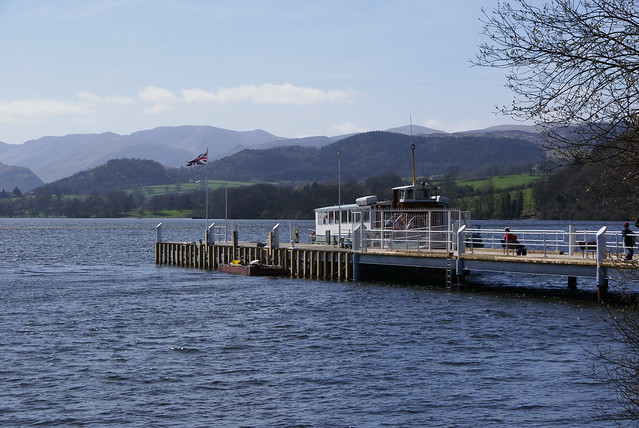
There is a pier from which ferries (known as the Ullswater 'Steamers') provide connections to Glenridding and Howtown. Pooley Bridge was formerly known as Pooley or Pool How meaning the hill by the pool or stream. The name Pool How was derived from the Old English word pollr plus the Old Norse haugr meaning hill or mound.
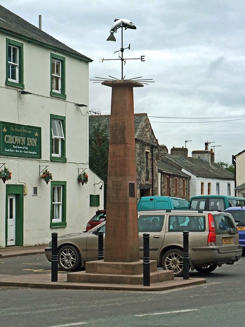
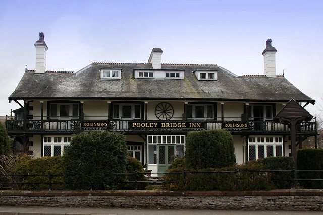
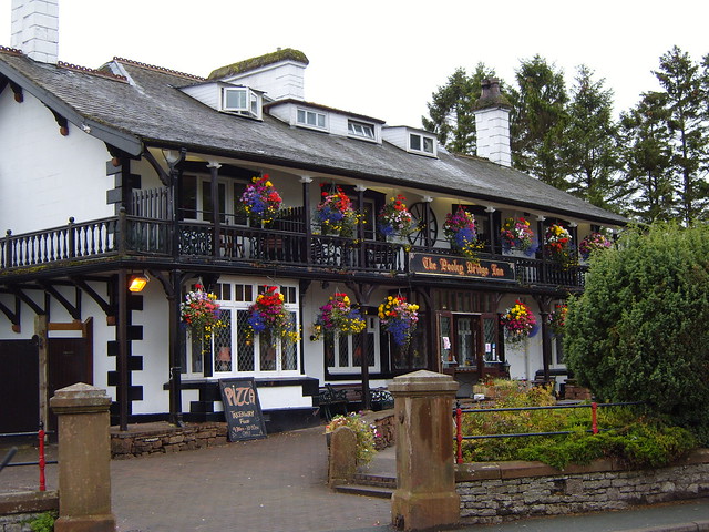
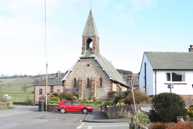
Pooley is mostly situated in the civil parish of Barton, of which it is the main settlement. The few houses on the northern or Cumberland side of the bridge are in Dacre parish. The village is popular with tourists, especially during the summer, and has several hotels, guest houses and camping sites.
Visit the page: Pooley Bridge for references and further details. You can contribute to this article on Wikipedia.
Co-Curate Page
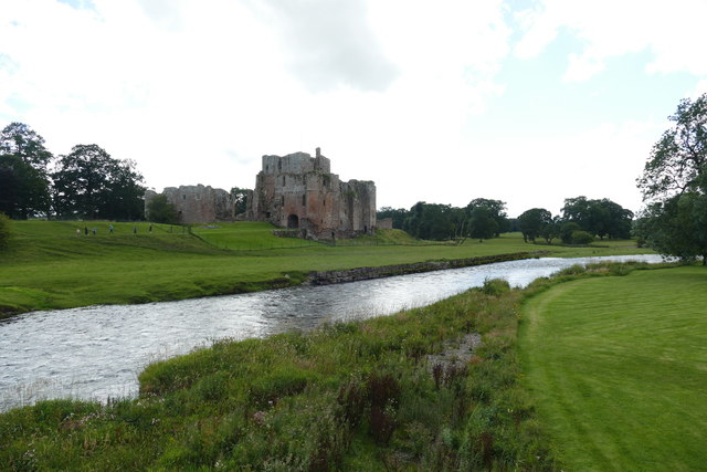
River Eamont
- Overview About the River Eamont The River Eamont is a river which forms from the outflow from Ullswater (lake) in Cumbria. It is one of the major tributaries of the …
from https://www.ullswater.org/the…
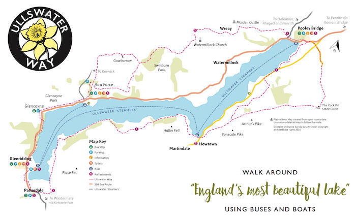
The Ullswater Way
- "The Ullswater Way is a 20-mile walking route around Ullswater. The route can be walked in either direction and from any starting point. Why not walk the route in shorter …
Added by
Simon Cotterill
from Geograph (geograph)
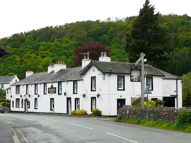
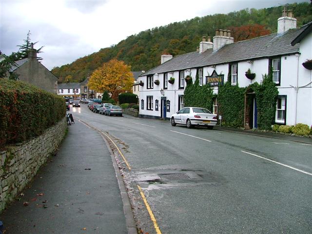
Pooley Bridge, View Towards the Lake From the Sun Inn
Pinned by Edmund Anon
from Flickr (flickr)
C1930s AERO PICTORIAL RP PC POOLEY BRIDGE NEAR PENRITH AERIAL VIEW
Pinned by Peter Smith


Co-Curate Page
River Eamont
- Overview About the River Eamont The River Eamont is a river which forms from the outflow from Ullswater (lake) in Cumbria. It is one of the major tributaries of the …

from https://www.ullswater.org/the…
The Ullswater Way
- "The Ullswater Way is a 20-mile walking route around Ullswater. The route can be walked in either direction and from any starting point. Why not walk the route in shorter …
Added by
Simon Cotterill

from Geograph (geograph)
Pooley Bridge, View Towards the Lake From the Sun Inn
Pinned by Edmund Anon

from Flickr (flickr)
C1930s AERO PICTORIAL RP PC POOLEY BRIDGE NEAR PENRITH AERIAL VIEW
Pinned by Peter Smith
