Topics > Northumberland > Civil Parishes in Northumberland > Newbrough Civil Parish
Newbrough Civil Parish
Parish boundaries may have changed - for the latest map see the Parish Council or Northumberland County Council.
About the Parish
Newbrough Civil Parish in Northumberland is located about 5 miles north-west of Hexham. The parish covers a wide geographical area and is centred on the village of Newbrough, the largest settlement in the parish. The parish is bounded to the south-east by the River South Tyne. The route of the Stanegate Roman road interescts the parish and in the north of the parish is Hadrian's Wall.
| Settlements: |
Villages: Newbrough Hamlets / farms include: Allerwash, Carr Edge, Carraw, Carrawbrough, Hawden, Howden, Lane Edge, Settlingstones, Stonecroft, Side, Torneys Fell, Thornton and Wharmley. |
| Population: |
590 (2021 Census) 561 (2011 Census) 543 (2001 Census) |
| Area: | 22.9 km² |
| Parish Council: | Newbrough Parish Council |
| Unitary Authority: | Northumberland County Council |
Historical |
|
| Ancient Township / Chapelry: |
Newbrough was a parochial chapelry (the chapel stood on the site now occupied by St Peter's Church in the village of Newbrough) Population: 429 in 1801, rising to 551 in 1851. Gazetteers (directories):
Townships became civil parishes in their own right in 1866 (see below). |
| Ancient Parish: |
Ancient parishes refer to the parishes before the split between ecclesiastical (church) and civil parishes in the 19th century. They had a parish church and often were composed of multiple townships and chapelries. In many cases, townships and parishes were originally based on the territory of manors from the feudal system during medieval times. Civil parishes were created following the Poor Law Amendment Act 1866, in which Church of England parishes, extra-parochial areas, townships and chapelries, became "civil parishes" which could set their own poor rate (tax). The reforms of Local Government Act 1894 established elected civil parish councils (or parish meetings for parishes with less than 300 residents) and created urban and rural districts. Boundaries of parishes and civil parishes may have changed over time. |
| Ancient District: |
Tynedale (ward) |
| Poor Law Union: |
Hexham Poor Law Union, formed in 1836. Hexham Union Workhouse was located on Dean Street in Hexham, opening in 1839. This replaced smaller existing workhouses in Corbridge, Hexham and Horsley. Under the Poor Law Amendment Act of 1834 parishes were grouped into Unions, each of which had to build a workhouse if they did not already have one. It ended the old system of locally provided poor relief which had come under strain as numbers out of work grew, following increasing mechanisation of agriculture and the economic downturn after the Napoleonic Wars, along with changing social attitudes. The workhouse provided those unable to support themselves financially with accommodation and work. Inmates were generally segregated into men, women, boys and girls. The workhouse system was abolished by the Local Government Act 1929, but many workhouses lived on as ‘Public Assistance Institutions’ until the National Assistance Act 1948. |
|
Major Boundary Change: |
Newbrough Civil Parish was reduced by 1,116 acres to expand the neigbouring Haydon Civil Parish in April 1955. There were a number of boundary changes in the area at that time, when Hexhamshire West Quarter Civil Parish was abolished . |
|
District Council: |
Hexham Rural District (1894 - 1974). The district was abolished in 1974, following the Local Government Act 1972. Tynedale District (1974 - 2009). Tynedale covered the area of 5 former districts (Hexham Urban District, Prudhoe Urban District, Bellingham Rural District, Haltwhistle Rural District, and Hexham Rural District). The borough council was abolished when Northumberland County Council became a unitary authority on the 1st of April 2009. |
|
County / Unitary Authority |
In 1572 Parliament passed a bill annexing Hexham and Hexamshire to the County of Northumberland. The ancient county of Northumberland was enlarged following the Counties (Detached Parts) Act 1844; Bedlingtonshire, Norhamshire, Islandshire, the Farne Islands and Monks' House all became part of Northumberland. Up to then they had been enclaves of County Durham. Northumberland County Council formed 1889. Major boundary changes came into effect on the 1st April 1974. This followed the Local Government Act 1972, which formed the non-metropolitan county of Northumberland. This excluded the City of Newcastle upon Tyne and North Tyneside, which up to then had been part of Northumberland, but now became part of the newly formed Tyne & Wear. Northumberland County Council became a unitary authority on the 1st of April 2009. |
See also: ![]() Historic Buildings and Monuments in Newbrough Civil Parish. Note: listed buildings are generally the responsibility of the county council / unitary authority, rather than the parish council.
Historic Buildings and Monuments in Newbrough Civil Parish. Note: listed buildings are generally the responsibility of the county council / unitary authority, rather than the parish council.
Co-Curate Page
Newbrough
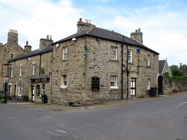
- Overview About Newbrough Map Street View Newbrough is a village in Northumberland which lies by the north bank of the River South Tyne, abot 4½ miles north-west of Hexham. Newbrough …
from https://newbrough.info/
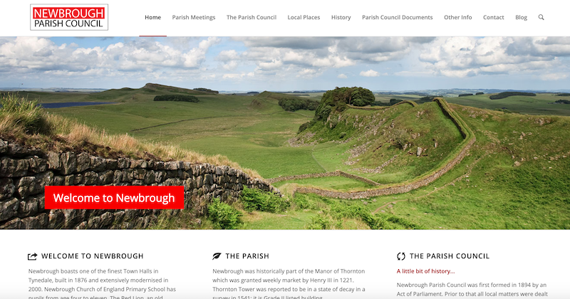
Newbrough Parish Council
- "....Newbrough Parish stretches from the South Tyne to the Roman Wall and extends as far as Northumberland National Park to the west. Local residents and visitors enjoy walking, cycling and …
Added by
Simon Cotterill
Co-Curate Page
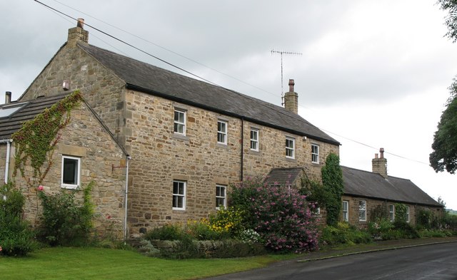
Allerwash, Northumberland
- Overview Map Street View Allerwash, Allerwash Hall, and Allerwash Buildings.

Co-Curate Page
Carrawbrough
- Overview Map Street View Carrawbrough is located off the B6318 (the 'Military Road' which runs parralal to Hadrian's Wall) about 3 miles west of Chollerford, and is about 6 miles …

Co-Curate Page
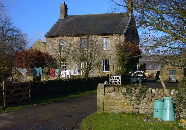
Torney's Fell, Newbrough
- Torney's Fell Farm is located about 1½ miles north of Fourstones in Northumberland. The farm is included in the 1861 Census (under Newbrough Parish). Torney's Fell Farm is within Newbrough …

Co-Curate Page
Newbrough, 1848
- NEWBROUGH, a parochial chapelry, in the union of Hexham, N. W. division of Tindale ward, S. division of Northumberland, 5½ miles (N.W. by W.) from Hexham; containing 547 inhabitants. This …

Co-Curate Page
Carr Edge
- Overview Map Carr Edge is an outcrop of golden sandstone, topped by the Scots pines of Carr Edge Plantation, located about 1 mile north of Fourstones in Northumberland. Carr Edge …

Co-Curate Page
Newbrough
- Overview About Newbrough Map Street View Newbrough is a village in Northumberland which lies by the north bank of the River South Tyne, abot 4½ miles north-west of Hexham. Newbrough …
from https://newbrough.info/
Newbrough Parish Council
- "....Newbrough Parish stretches from the South Tyne to the Roman Wall and extends as far as Northumberland National Park to the west. Local residents and visitors enjoy walking, cycling and …
Added by
Simon Cotterill
Co-Curate Page
Allerwash, Northumberland
- Overview Map Street View Allerwash, Allerwash Hall, and Allerwash Buildings.
Co-Curate Page
Carrawbrough
- Overview Map Street View Carrawbrough is located off the B6318 (the 'Military Road' which runs parralal to Hadrian's Wall) about 3 miles west of Chollerford, and is about 6 miles …
Co-Curate Page
Torney's Fell, Newbrough
- Torney's Fell Farm is located about 1½ miles north of Fourstones in Northumberland. The farm is included in the 1861 Census (under Newbrough Parish). Torney's Fell Farm is within Newbrough …
Co-Curate Page
Newbrough, 1848
- NEWBROUGH, a parochial chapelry, in the union of Hexham, N. W. division of Tindale ward, S. division of Northumberland, 5½ miles (N.W. by W.) from Hexham; containing 547 inhabitants. This …


