Topics > Northumberland > Newbrough
Newbrough
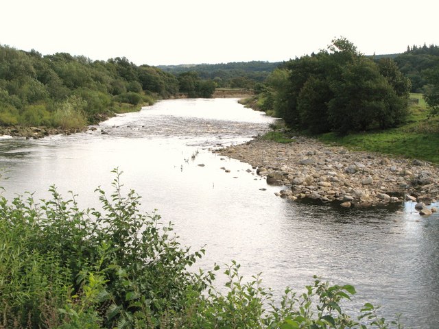
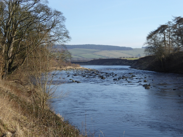
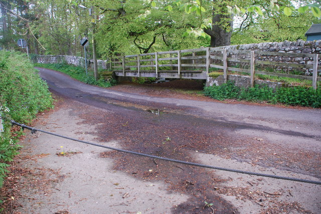
Newbrough is a village in Northumberland which lies by the north bank of the River South Tyne, abot 4½ miles north-west of Hexham. Newbrough Burn flows past the east side of the village, where it is joined by Meggie's Dean Burn, before joining the South Tyne. There was a Roman fort at Newbrough on the Stanegate Roman road, which ran from Carlisle to Corbridge and formed the northern border of the Empire before Hadrian’s Wall was built. Much of Newbrough is a Conservation Area. The village and surrounding area form Newbrough Civil Parish.
Newbrough is a village in Northumberland, England, on the north bank of the River South Tyne about 5 miles west of Hexham.
History
Newbrough was anciently part of the Manor of Thornton. The mediæval tower house known as Thornton Tower was reported to be in a state of decay in a survey in 1541. The Grade II listed building is now completely ruinous.
Governance
Newbrough is in the parliamentary constituency of Hexham.
Landmarks
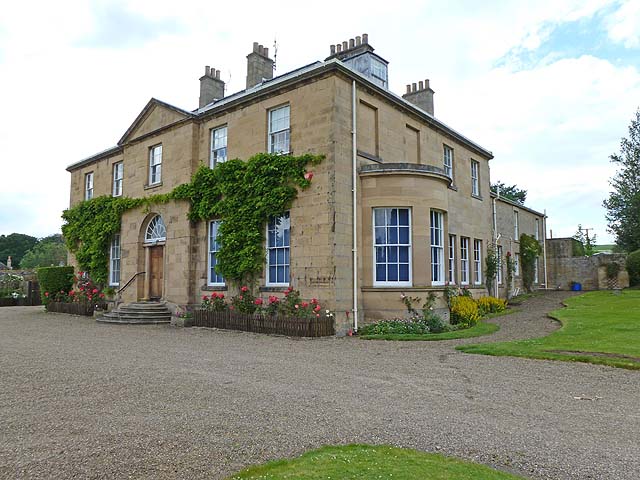
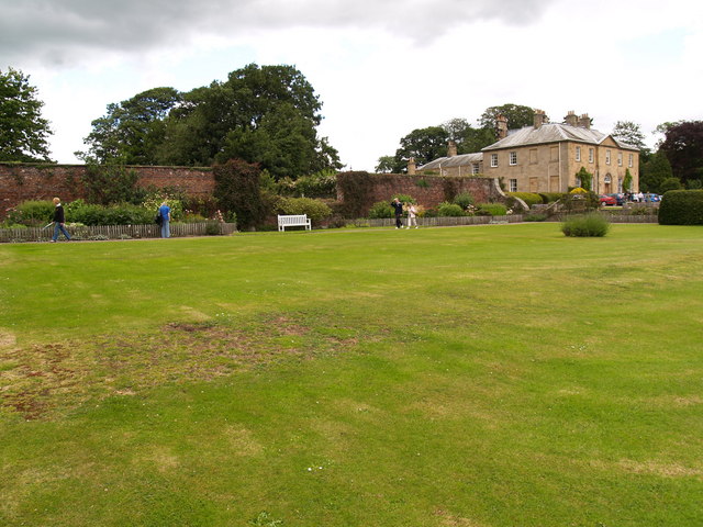
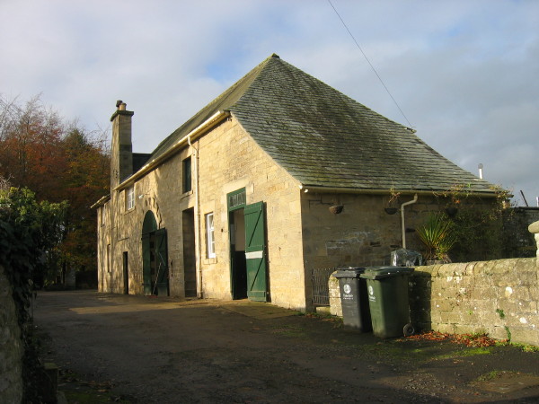
Newbrough Hall is an early 19th-century country house at Newbrough. It is Grade II* listed on the National Heritage List for England.
The estate was held by John Armstrong in 1692 and by John Bacon in the early 18th century. In 1811 the property passed to Bacon’s great grandson, the Reverend Henry Wastell.
Wastell built a new house in 1812 adjacent to the old tower, to a design by architect John Dobson. The estate later passed to his daughter and her husband of 1901, Colonel Coulson. They commissioned architect Francis William Deas (1862-1951) to modernise the house in 1902. The resulting two-storey house, with five bays of which the central was pedimented, was extended with two rear wings attached to the 1813 coach house to create a central courtyard. The house was equipped with electricity for which purpose a detached powerhouse was erected in the grounds. The powerhouse, now a separate dwelling, is Grade II listed.
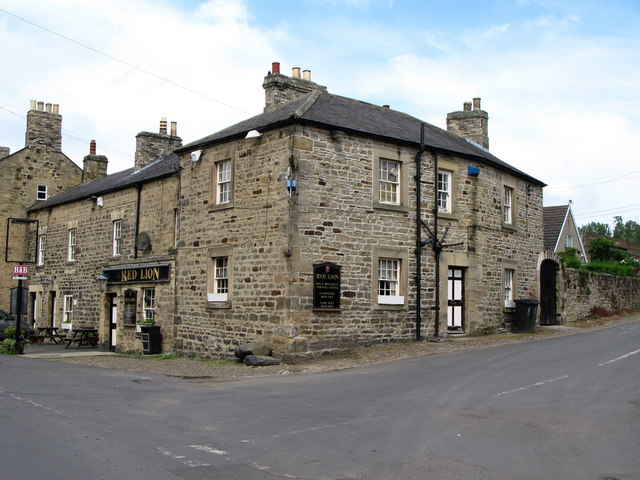
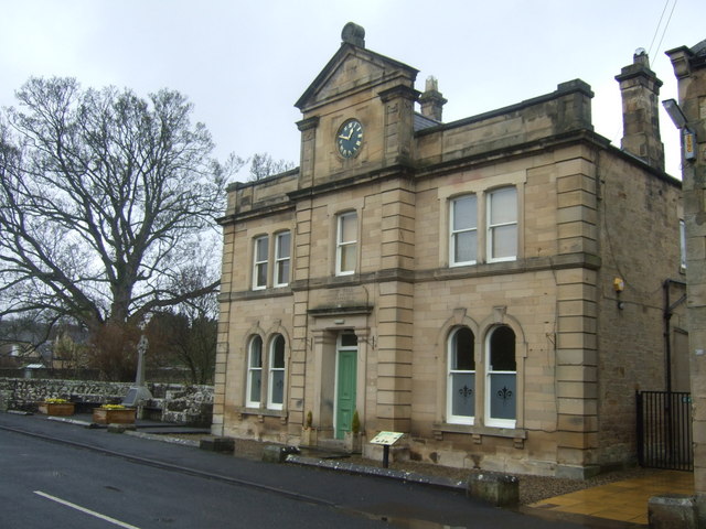
Newbrough Town Hall, thought to be one of the finest in Tynedale, was built in 1876 and extensively modernised in 2000.
The Women's Institute building, formerly the Mechanics Institute, was built in 1854 and is a grade II listed building. It was given in 1948 to the Newbrough Women's Institute (WI) which was formed in 1923 and is still in existence. In 2000 the WI donated the building to the Town Hall, where it now meets (as it did before 1948). On 9 November 2015, the centenary of the first WI meeting in England, the building's entry in the National Heritage List for England was updated to include the WI connection, as were records for three other buildings of WI significance.
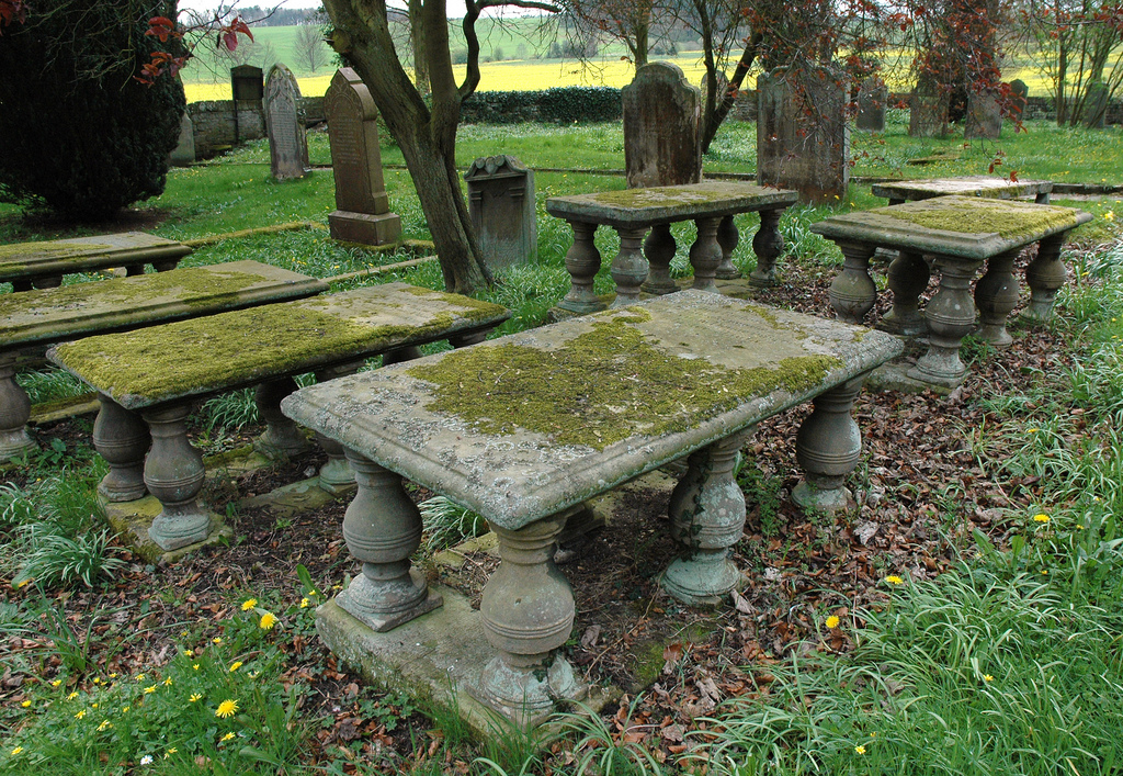
A mile north of the village is a burn known as Meggie's Dene, which is reputedly the burial site of a 16th-century witch called Old Meg. The grave is said to be marked by a pink thorn tree.
Stanegate
Newbrough and Fourstones are on the Stanegate Roman road, built in A.D. 71, which runs from east to west and formed the original northern frontier before the building of Hadrian’s Wall. Newbrough’s church stands on the site of one of the line of forts along this road.
Education
Newbrough CE First School, (Northumberland Local Education Authority) is an Infant School. It is a mixed school of Church of England religion.
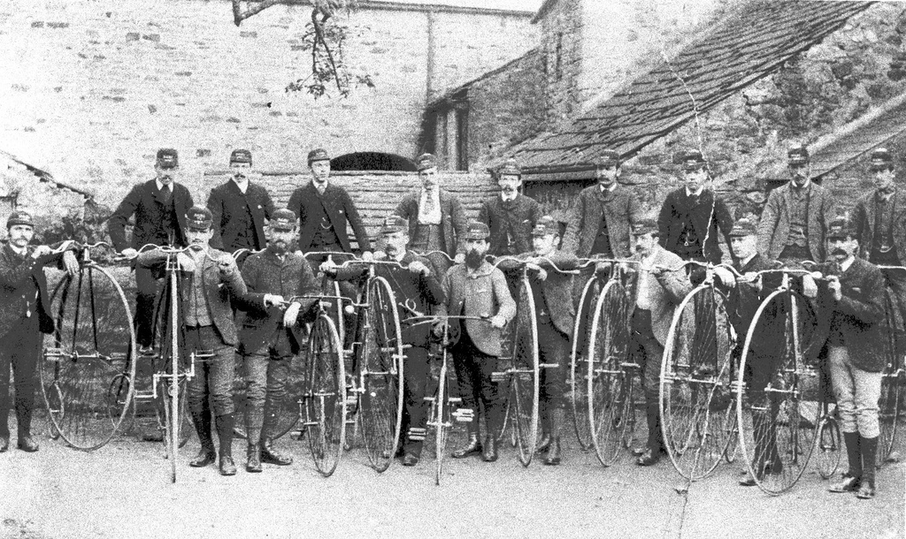
from Beamish (flickr)
Members of Newbrough and Fourstones Cycling Club with their penny farthings.
Pinned by Simon Cotterill
Co-Curate Page
Stanegate
- The Stanegate ("stone road") was an important Roman road, built before Hadrian's Wall, which linked forts at Carlisle (Luguvalium) and Corbridge (Corstopitum). It became the northern frontier of Roman empire in …
Co-Curate Page
Fourstones
- Overview About Fourstones Map Street View Fourstones is a village in Northumberland, located on the north bank of the River South Tyne about 4 miles north-west of the town of …

from http://www.keystothepast.info…
Newbrough and Fourstones - Local History
Added by
Simon Cotterill
Co-Curate Page
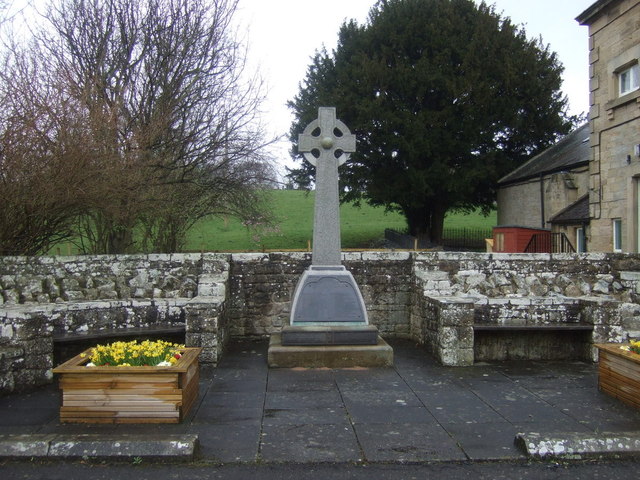
Historic Buildings and Monuments in Newbrough Civil Parish
- Listed buildings and scheduled monuments in Newbrough Civil Parish, Northumberland, from the National Heritage List for England[1]. Use the Search (below) if looking for a specific building / monument. Structure …


from Beamish (flickr)
Members of Newbrough and Fourstones Cycling Club with their penny farthings.
Pinned by Simon Cotterill
Co-Curate Page
Stanegate
- The Stanegate ("stone road") was an important Roman road, built before Hadrian's Wall, which linked forts at Carlisle (Luguvalium) and Corbridge (Corstopitum). It became the northern frontier of Roman empire in …
Co-Curate Page
Fourstones
- Overview About Fourstones Map Street View Fourstones is a village in Northumberland, located on the north bank of the River South Tyne about 4 miles north-west of the town of …
from http://www.keystothepast.info…
Newbrough and Fourstones - Local History
Added by
Simon Cotterill
Co-Curate Page
Historic Buildings and Monuments in Newbrough Civil Parish
- Listed buildings and scheduled monuments in Newbrough Civil Parish, Northumberland, from the National Heritage List for England[1]. Use the Search (below) if looking for a specific building / monument. Structure …