Topics > Northumberland > Civil Parishes in Northumberland > Netherton Civil Parish
Netherton Civil Parish
Area: 19.1 km²
Population:
182 (2021 Census)
185 (2011 Census)
194 (2001 Census)
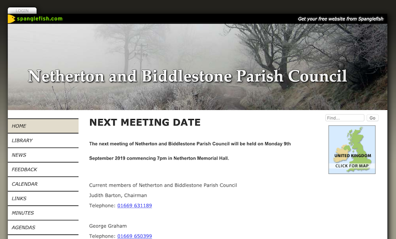
from http://www.spanglefish.com/ne…
Netherton and Biddlestone Parish Council
- Website of Netherton and Biddlestone Parish Council
Added by
Peter Smith
Co-Curate Page
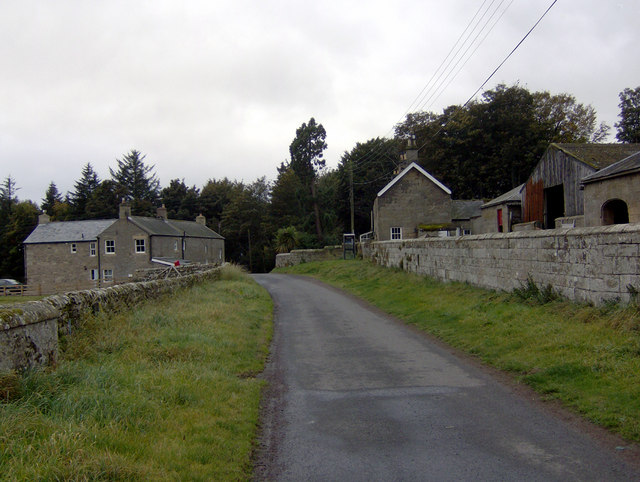
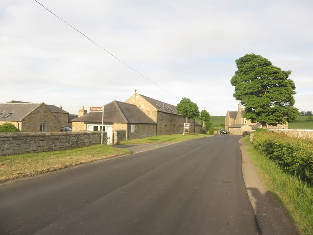
Netherton
- Overview About Netherton Map Street View Netherton is a village in Northumberland, located about 6 miles north-west of Rothbury. The village is part of the Civil Parish of Netherton and …
Co-Curate Page
Burradon
- Overview Map Street View A hamlet in Northumberland, located about 6 miles north-west of Rothbury (not to be confused with Burradon, North Tyneside).
Co-Curate Page
Clennell
- Overview Map Clennell is a village in Upper Coquetdale, Northumberland by the River Alwin, located just under a mile north east of Alwinton. The settlement centres on the former manor …

from https://keystothepast.info/se…
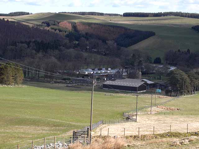
Local History: Netherton with Biddlestone
- "Netherton parish lies in central Northumberland between the River Coquet and the Cheviot Hills. The land rises gradually throughout the parish quite gently, but almost continually, to the north-west.
The …
Added by
Peter Smith
Co-Curate Page
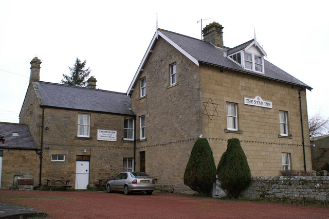
Netherton Burnfoot
- Overview Map Street View Netherton Burnfoot is a hamlet, located about half a mile south-east of the village of Netherton in Northumberland. It's name derives from it's close location to …

Co-Curate Page
Biddlestone Civil Parish
- Area: 179.2 km² Population: 166 (2021 Census) 177 (2011 Census) 159 (2001 Census)

from http://www.spanglefish.com/ne…
Netherton and Biddlestone Parish Council
- Website of Netherton and Biddlestone Parish Council
Added by
Peter Smith
Co-Curate Page
Netherton
- Overview About Netherton Map Street View Netherton is a village in Northumberland, located about 6 miles north-west of Rothbury. The village is part of the Civil Parish of Netherton and …
Co-Curate Page
Burradon
- Overview Map Street View A hamlet in Northumberland, located about 6 miles north-west of Rothbury (not to be confused with Burradon, North Tyneside).
Co-Curate Page
Clennell
- Overview Map Clennell is a village in Upper Coquetdale, Northumberland by the River Alwin, located just under a mile north east of Alwinton. The settlement centres on the former manor …
from https://keystothepast.info/se…
Local History: Netherton with Biddlestone
- "Netherton parish lies in central Northumberland between the River Coquet and the Cheviot Hills. The land rises gradually throughout the parish quite gently, but almost continually, to the north-west.
The …
Added by
Peter Smith
Co-Curate Page
Netherton Burnfoot
- Overview Map Street View Netherton Burnfoot is a hamlet, located about half a mile south-east of the village of Netherton in Northumberland. It's name derives from it's close location to …


