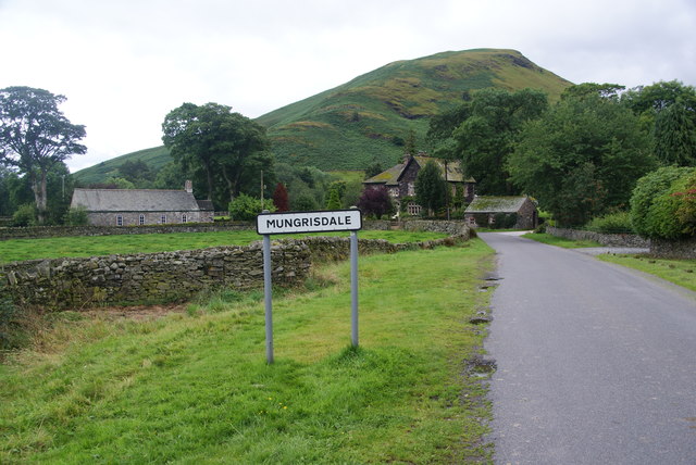
Topics > Civil Parishes in Cumbria > Mungrisdale Civil Parish
Mungrisdale Civil Parish
The Civil Parish of Parish of Mungrisdale is loacted in the northern fells of the Lake District. The Parish includes the hamlets of Berrier, Bowscale, Haltcliffe Bridge, Heggle Lane, Hutton Roof, Mosedale, Mungrisdale and Murrah.
Area: 62.6 km²
Population:
298 (2021 Census)
297 (2011 Census)
284 (2001 Census)
Co-Curate Page
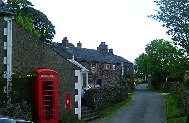
Mosedale (village)
- Overview About Mosedale Map Street View Mosedale is a small village at the foot of Carrock Fell in Cumbria. It is located 4 miles off the A66 road between Keswick …
from https://www.cumbriacountyhist…
Berrier and Murrah Township
- "Township in Greystoke parish, Leath ward, Cumberland. Absorbed into Mungrisdale CP 1934....predominantly agricultural. Thomas Denton, writing 1688, noted a ‘very good horse course’ on moor at Berrier. Small-scale coal mining …
Added by
Edmund Anon

from https://www.cumbriacountyhist…
Bowscale Township
- "Township in Greystoke parish, Leath ward, Cumberland. Absorbed into Mungrisdale CP 1934....hamlet of four farms, containing around 30 inhabitants from 1841 to 1931 (census years for which separate figures available)...."
Added by
Edmund Anon
Co-Curate Page
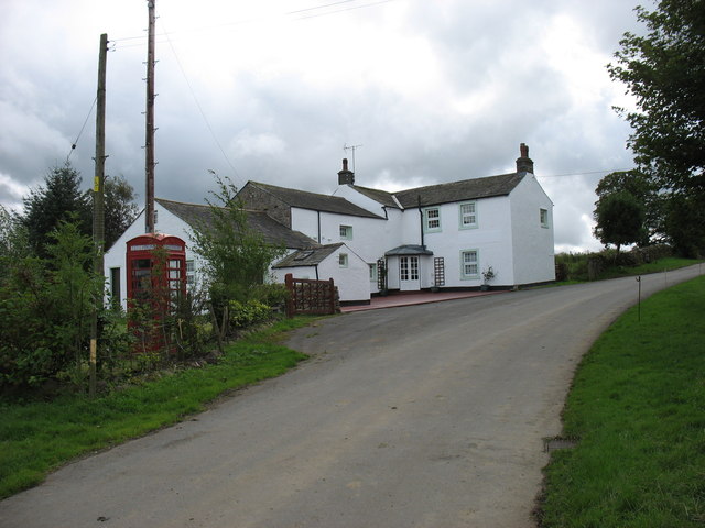
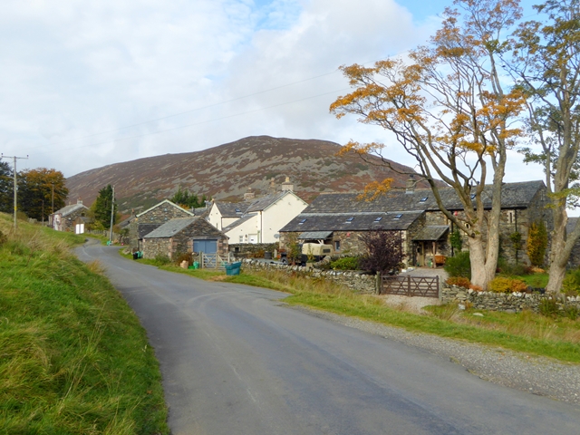
Hutton Roof (Penrith)
- Overview About Hutton Roof Map Street View Hutton Roof is a hamlet in the Civil Parish of Mungrisdale, in the Eden District of Cumbria. It is located about 9 miles …
Co-Curate Page
Bowscale
- Overview Map Street View BOWSCALE, a township, in the parish of Greystock, union of Penrith, Leith ward, county of Cumberland, 10 miles (W. N. W.) from Penrith; containing 31 inhabitants. …
from http://www.mungrisdale.com/
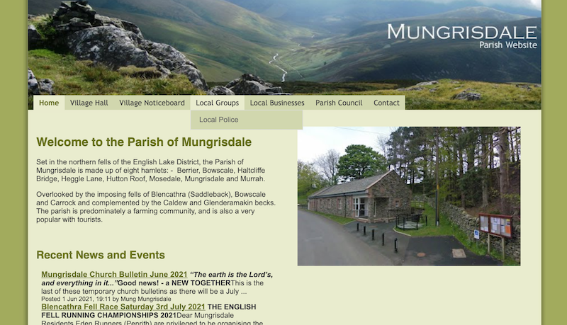
Mungrisdale Parish Council
- "...Set in the northern fells of the English Lake District, the Parish of Mungrisdale is made up of eight hamlets: - Berrier, Bowscale, Haltcliffe Bridge, Heggle Lane, Hutton Roof, Mosedale, …
Added by
Simon Cotterill
Co-Curate Page
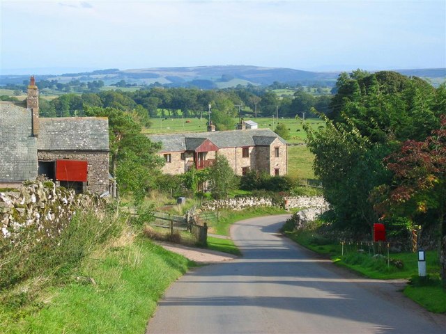
Berrier, Cumbria
- Overview Map Street View Berrier is a hamlet in the Eden district of Cumbria, located about 6 miles west of Penrith and 16 miles south of Carlisle. Historically, Berrier with Murrah …
Co-Curate Page
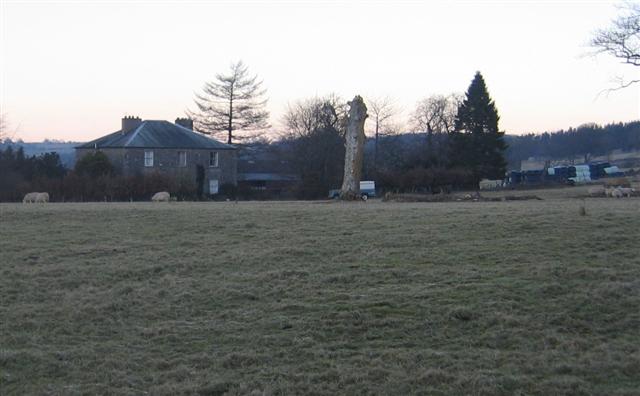
Murrah
- Overview Map Street View Murrah is a hamlet in the Eden District of Cumbria, located about 8 miles west of Penrith and 14 miles south of Carlisle. It is about …


Co-Curate Page
Mosedale (village)
- Overview About Mosedale Map Street View Mosedale is a small village at the foot of Carrock Fell in Cumbria. It is located 4 miles off the A66 road between Keswick …

from https://www.cumbriacountyhist…
Berrier and Murrah Township
- "Township in Greystoke parish, Leath ward, Cumberland. Absorbed into Mungrisdale CP 1934....predominantly agricultural. Thomas Denton, writing 1688, noted a ‘very good horse course’ on moor at Berrier. Small-scale coal mining …
Added by
Edmund Anon

from https://www.cumbriacountyhist…
Bowscale Township
- "Township in Greystoke parish, Leath ward, Cumberland. Absorbed into Mungrisdale CP 1934....hamlet of four farms, containing around 30 inhabitants from 1841 to 1931 (census years for which separate figures available)...."
Added by
Edmund Anon

Co-Curate Page
Hutton Roof (Penrith)
- Overview About Hutton Roof Map Street View Hutton Roof is a hamlet in the Civil Parish of Mungrisdale, in the Eden District of Cumbria. It is located about 9 miles …

Co-Curate Page
Bowscale
- Overview Map Street View BOWSCALE, a township, in the parish of Greystock, union of Penrith, Leith ward, county of Cumberland, 10 miles (W. N. W.) from Penrith; containing 31 inhabitants. …

from http://www.mungrisdale.com/
Mungrisdale Parish Council
- "...Set in the northern fells of the English Lake District, the Parish of Mungrisdale is made up of eight hamlets: - Berrier, Bowscale, Haltcliffe Bridge, Heggle Lane, Hutton Roof, Mosedale, …
Added by
Simon Cotterill

Co-Curate Page
Berrier, Cumbria
- Overview Map Street View Berrier is a hamlet in the Eden district of Cumbria, located about 6 miles west of Penrith and 16 miles south of Carlisle. Historically, Berrier with Murrah …

