Topics > County Durham > Monk Hesleden
Monk Hesleden
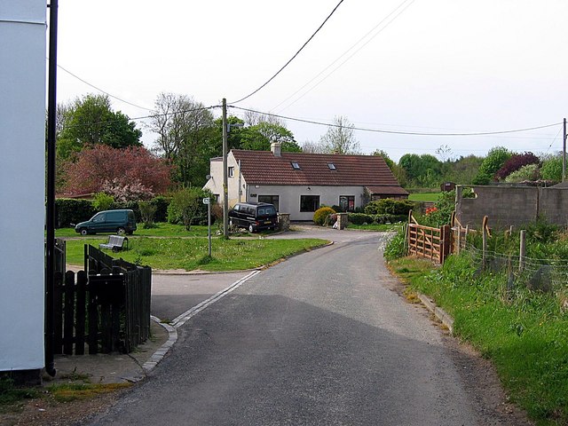
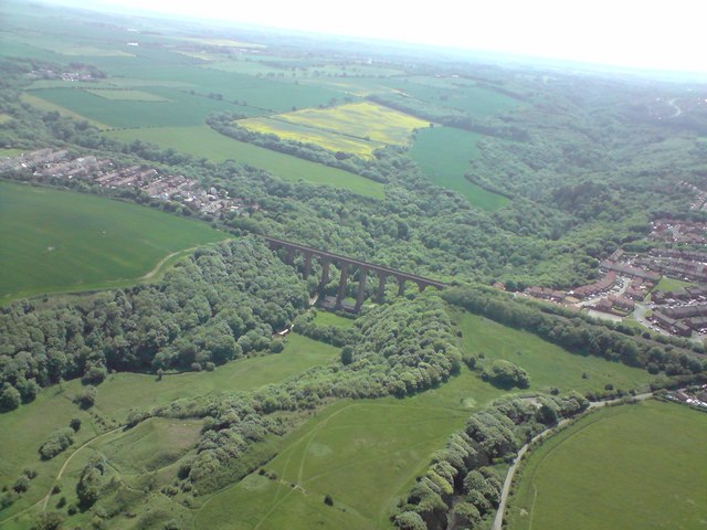
Monk Hesleden is a village and a civil parish in County Durham. The village is located about 2 miles north-west of Hartlepool and just over half a mile south of High Hesledon.
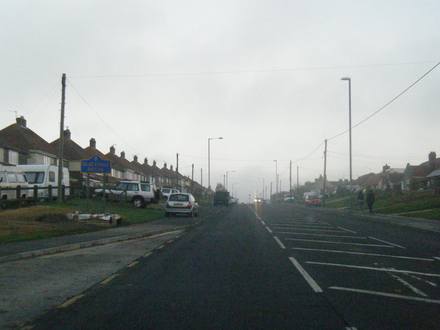
The civil parish of Monk Hesleden consists of Blackhall Colliery, Blackhall Rocks, Crimdon, Hesleden, High Hesleden and Monk Hesleden.[1] Most of the population is based in Blackhall Colliery and Blackhall Rocks.
Monk Hesleden is a village in County Durham, England. The population of the parish at the 2011 Census was 5,722. It is situated a short distance to the south of High Hesleden, to the north-west of Hartlepool.
Etymology and history
Hesleden is believed to be derived from the local word Dene(den) meaning a deep forested Valley, and Hesle a corruption of Hazel, so the original meaning may have been, "Forested Valley of the Hazel trees", which are common in the, Nesbit, Crimdon and Hessleden Denes, that border the village. As for the "Monk", that may either refer to the Church which, once existed, or perhaps some earlier monastic foundation. Or that more likely, the lands around it may have once belonged to the Bishopric of Durham. This had been a common feature, throughout the Palatine of Durham, before the Reformation. The Prince Bishops, later Bishops, had an Archdeaconry in nearby Easington, and it is recorded that a great deal of land in the area lay under their ownership.
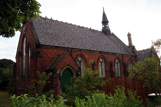
The Church of St. Marys, at Monk Hesleden can be dated as far back as the 13th century, though by the time it was photographed in the 19th century, it had been greatly altered, giving the impression, externally at least, of a much later structure, almost Georgian in style. For a long time, St. Marys' was the only local church, until the construction of St. James at Castle Eden, in the 1760s. Even with the advent of the collieries at Blackhall, Hesleden, and Horden, for a great deal of time, St. Mary's was the only local Anglican church, and with Castle Eden, the only local cemetery, so despite the village's dwindling population, the church had survived. Unfortunately the church received some minor vandalism in the 1960s, and the council demolished the structure, leaving us today with only the Graveyard and a post, somewhat like a tombstone, marking the site. Despite the disappearance of the church, the parish lives on in name, and following the reorganisation of parishes in the 1980s, included the churches of St. James at Castle Eden, St. Andrew's at Blackhall, St Marys in Horden, St. Cuthbert in Peterlee, and the Church at Hesleden. In 2016, St. James, Castle Eden was closed. Monk Heselden now sits within the new geographical parish of Castle Eden and Blackhall, with the one remaining parish church at St. Andrew's in Blackhall.
On the first Ordnance Survey Maps, the village appears under the name of "Church Hesleden", and in fact it is High Hesleden, that has the name of Monk Hesleden.
Today only one cottage (once part of a row of cottages, as you enter by the one road, into the village), Browns' Farm, the former Rectory, as well as, a couple of more recent bungalows, are all that remain of the village.
Visit the page: Monk Hesleden for references and further details. You can contribute to this article on Wikipedia.
Co-Curate Page
Blackhall Colliery
- Overview About Blackhall Colliery Map Street View Blackhall Colliery is a village on the North Sea coast of County Durham, in England. It is situated on the A1086 between …
Co-Curate Page
Blackhall Rocks
- Overview About Blackhall Rocks Map Street View Blackhall Rocks is a village on the coast of County Durham. It is situated on the A1086 coast road between Horden and Hartlepool. …
Co-Curate Page
Hesleden
- Overview About Hesleden Map Street View Hesleden is a village in County Durham, England. It is situated to the south of Peterlee. It has a large pond situated at …
Co-Curate Page
High Hesleden
- Overview About High Hesleden Map Street View High Hesleden is a village in County Durham, located about 4 miles north-west of Hartlepool, off the road between Blackhall Rocks and Hesleden. …
from http://www.monkhesledenparish…
Monk Hesledon Parish Council
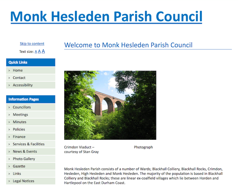
- "Monk Hesleden Parish consists of a number of Wards; Blackhall Colliery, Blackhall Rocks, Crimdon, Hesleden, High Hesleden and Monk Hesleden. The majority of the population is based in Blackhall Colliery …
Added by
Simon Cotterill
Co-Curate Page
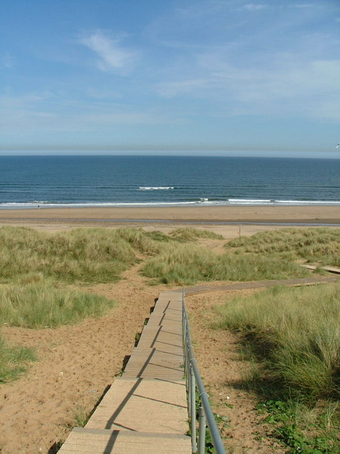
Crimdon
- Overview About Crimdon Map Street View Crimdon is a coastal village in County Durham, located between Blackhall Rocks and Hartlepool on the A1086 coast road. It is part of the …

Co-Curate Page
Blackhall Colliery
- Overview About Blackhall Colliery Map Street View Blackhall Colliery is a village on the North Sea coast of County Durham, in England. It is situated on the A1086 between …
Co-Curate Page
Blackhall Rocks
- Overview About Blackhall Rocks Map Street View Blackhall Rocks is a village on the coast of County Durham. It is situated on the A1086 coast road between Horden and Hartlepool. …
Co-Curate Page
Hesleden
- Overview About Hesleden Map Street View Hesleden is a village in County Durham, England. It is situated to the south of Peterlee. It has a large pond situated at …
Co-Curate Page
High Hesleden
- Overview About High Hesleden Map Street View High Hesleden is a village in County Durham, located about 4 miles north-west of Hartlepool, off the road between Blackhall Rocks and Hesleden. …
from http://www.monkhesledenparish…
Monk Hesledon Parish Council
- "Monk Hesleden Parish consists of a number of Wards; Blackhall Colliery, Blackhall Rocks, Crimdon, Hesleden, High Hesleden and Monk Hesleden. The majority of the population is based in Blackhall Colliery …
Added by
Simon Cotterill


