Topics > Northumberland > Longframlington
Longframlington
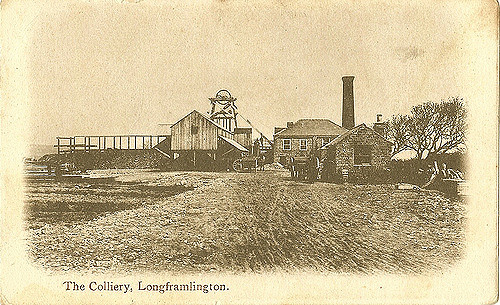
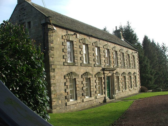
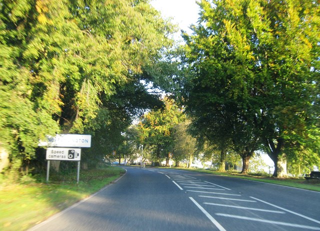
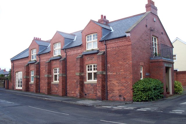
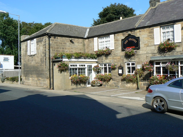
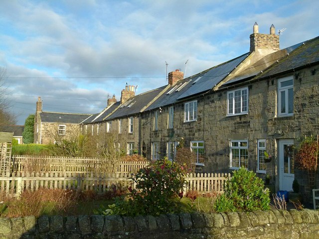
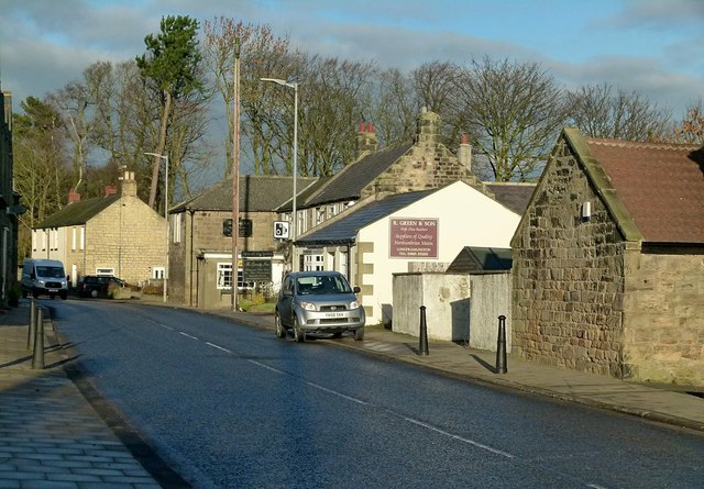
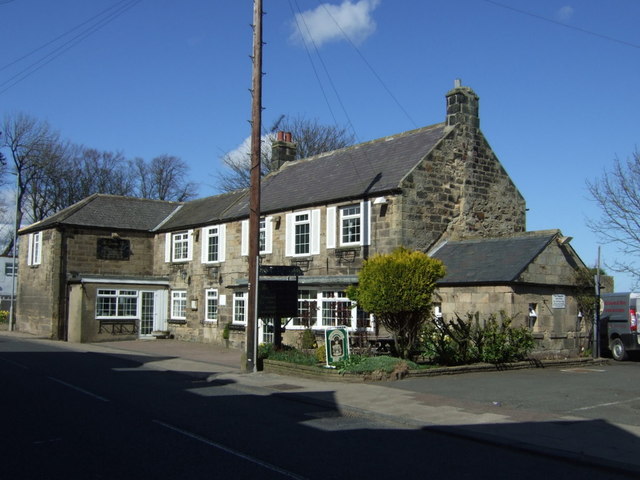
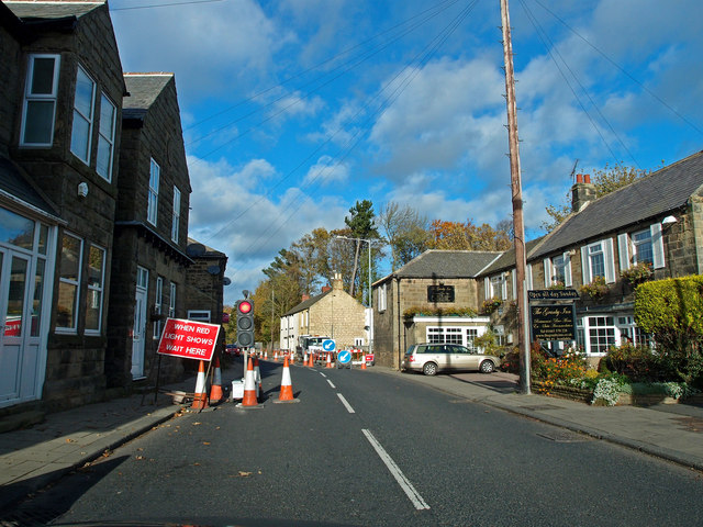
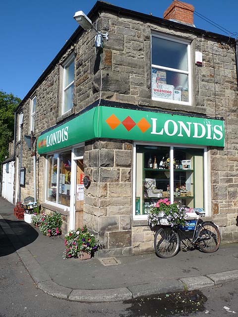
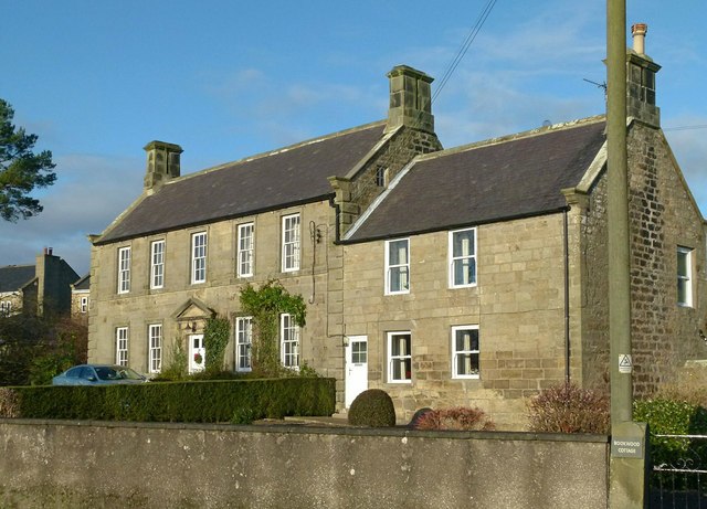
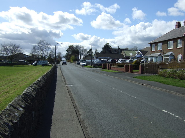
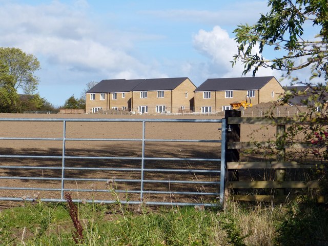
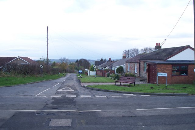
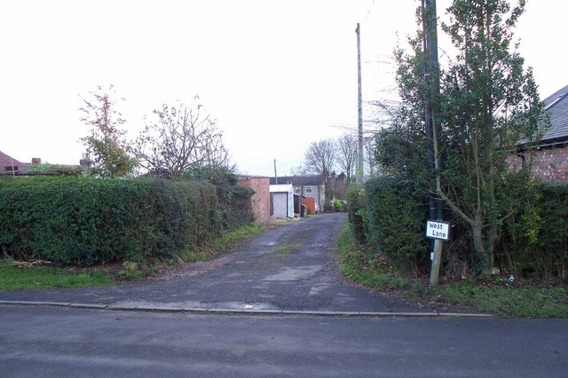
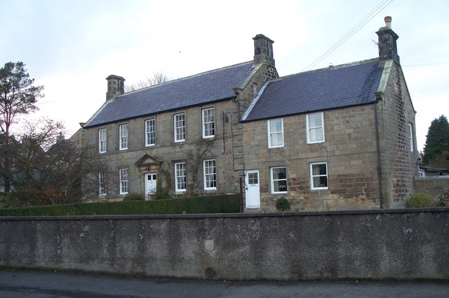
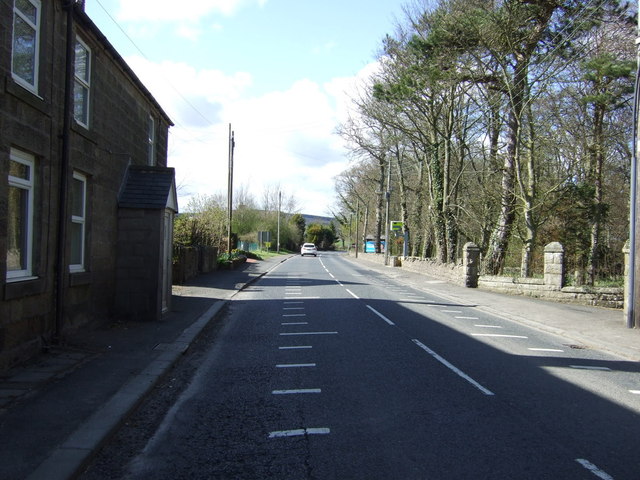
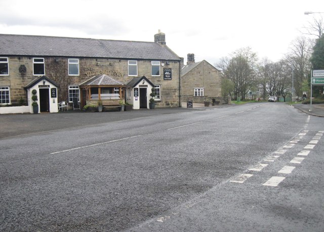 Longframlington is a village in Northumberland, located about 10 miles north-west of Morpeth and 5 miles east of Rothbury. Front Street in Longframlington is on the A697 road, on which there are 2 public houses (The 'Village Inn' and 'Granby Inn'); most of the village is to the west of Front Street. Walter de Framlington built St Mary's Church in Longframlington in c1190 AD. There are seveal fine 18th and 19th century stone cottages on Front Street and Church Street, some of which are listed buildings, including Embleton Hall, built in 1730. There is also a distinctive water pant on Front Street. In the past mining was important, with Framlington Colliery located by the village; this closed in 1931. Today Longframlington is primarily a residential village, there are also several farms around the village and tourist accommodation and a caravan park on West Lane. Brinkburn Priory is located about 2 miles south-east of Longframlington, by the River Coquet.
Longframlington is a small village in Northumberland, England, located on the A697, 11 miles north-west of Morpeth and 5 miles south-east of Rothbury.
Longframlington is a former pit village and on the site of the pit now stands Fram Park, a log cabin holiday park.
The village also plays host to the Longframlington Music Festival, which encourages musicians of any age, ability and performing any genre to broadcast their talents with the community. In 2013 it took place in the Community Rooms and St. Mary's Church on 8–11 May.
Landmarks
A branch of the Roman road, Dere Street, known as the Devil's Causeway, passes close by Longframlington, and the mounds visible on the Hall Hill in the angle of the Pauperhaugh and Weldon Bridge roads may be those of a Roman camp.
Religious sites
The church of St Mary the Virgin dates from the late 12th century and until 1891 was a chapel of ease to Felton; since that date Longframlington has been an independent parish. The church was carefully restored in the late 19th century retaining its fine Norman chancel arch.
The church is identified as being dedicated to St. Laurence on maps of Longframlington shown on website Communities.Northumberland.gov.uk (Longframlington - Ordnance maps) dated 1897 and 1920.
Visit the page: Longframlington for references and further details. You can contribute to this article on Wikipedia.

from Geograph (geograph)
The church of St Mary the Virgin, Longframlington, Northumberland
Pinned by Simon Cotterill


from Geograph (geograph)
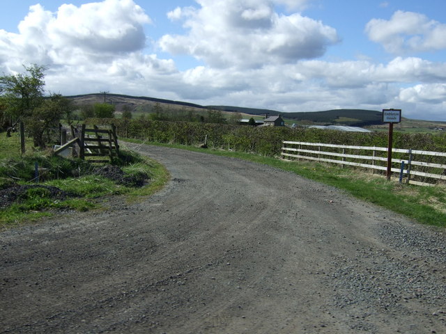
Pant on Junction of Front Street with Church Street, Longframlington
Pinned by Simon Cotterill


from Newcastle libraries (flickr)
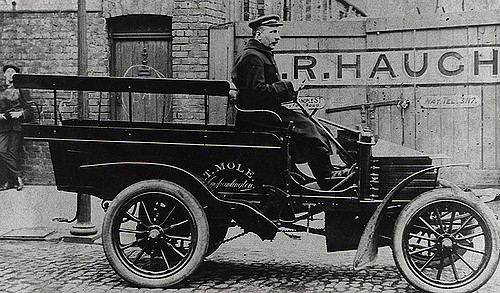
042025:Motor taxi Newcastle upon Tyne Unknown 1912
Pinned by Simon Cotterill

from IllustratedChronicles (flickr)
A Walby - 7th NF - Longframlington (Wounded)
Pinned by Simon Cotterill
from https://communities.northumbe…
Longframlington
- "The village if Longframlington is situated 11 miles North West of Morpeth and five miles South East of Rothbury. The manor was originally held by the Eslington family. The family …
Added by
Simon Cotterill
from Flickr (flickr)
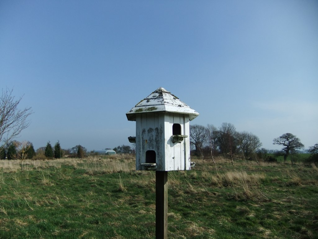
Quaint little white bird house - Longframlington Gardens - Northumberland
Pinned by Simon Cotterill
from Flickr (flickr)
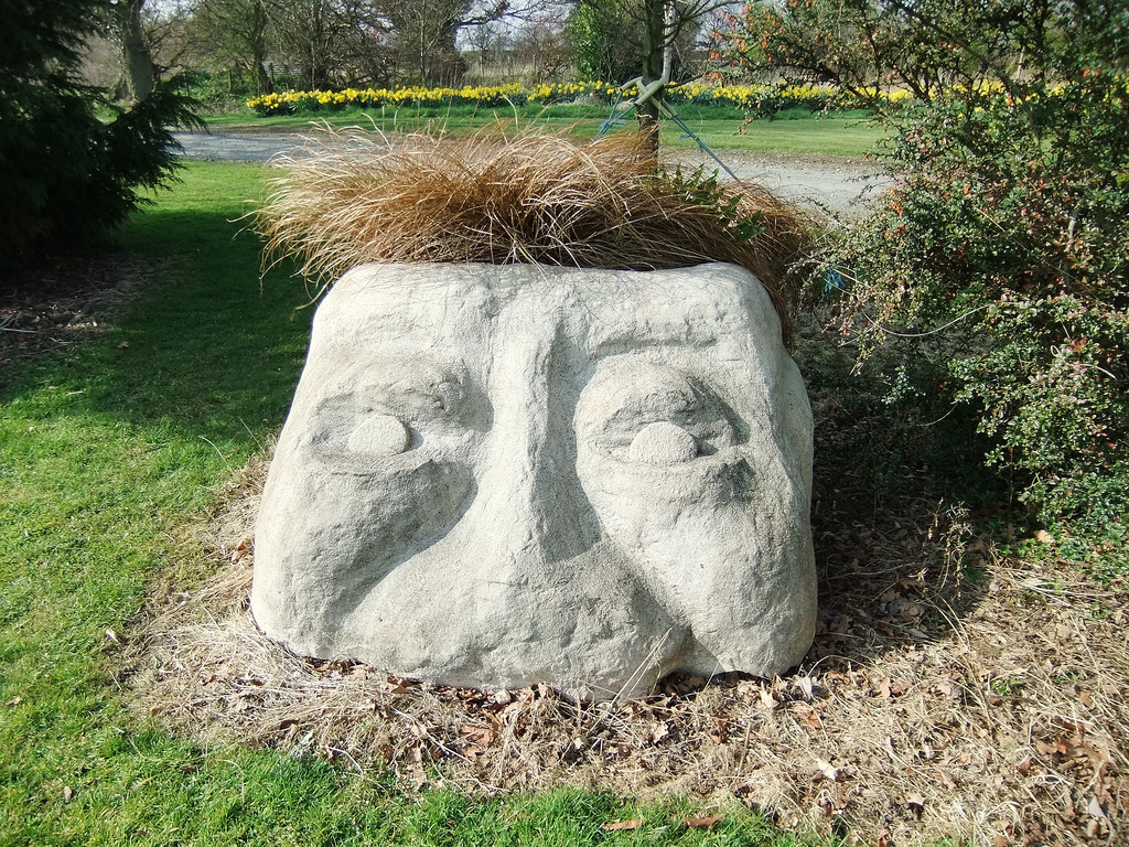
Statue with plants for hair - Longframlington Gardens - Northumberland
Pinned by Simon Cotterill
Co-Curate Page
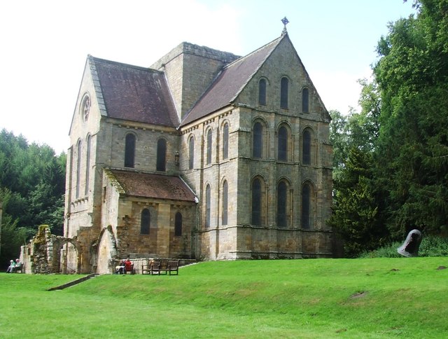
Brinkburn Priory
- Overview About Map Inside Brinkburn Priory was a medieval monastery built on a tight bend of the River Coquet, located 1.8 miles south west of Longframlington, in Northumberland. It was …

Co-Curate Page
Longframlington, 1855
- Extract from: History, Topography, and Directory of Northumberland...Whellan, William, & Co, 1855. LONG FRAMLINGTON PAROCHIAL CHAPELRY LONG FRAMLINGTON is a chapelry, township, and village, comprising an area of 4,962 …

from Geograph (geograph)
The church of St Mary the Virgin, Longframlington, Northumberland
Pinned by Simon Cotterill
from Geograph (geograph)
Pant on Junction of Front Street with Church Street, Longframlington
Pinned by Simon Cotterill
from Newcastle libraries (flickr)
042025:Motor taxi Newcastle upon Tyne Unknown 1912
Pinned by Simon Cotterill
from IllustratedChronicles (flickr)
A Walby - 7th NF - Longframlington (Wounded)
Pinned by Simon Cotterill
from https://communities.northumbe…
Longframlington
- "The village if Longframlington is situated 11 miles North West of Morpeth and five miles South East of Rothbury. The manor was originally held by the Eslington family. The family …
Added by
Simon Cotterill
from Flickr (flickr)
Quaint little white bird house - Longframlington Gardens - Northumberland
Pinned by Simon Cotterill
from Flickr (flickr)
Statue with plants for hair - Longframlington Gardens - Northumberland
Pinned by Simon Cotterill
Co-Curate Page
Brinkburn Priory
- Overview About Map Inside Brinkburn Priory was a medieval monastery built on a tight bend of the River Coquet, located 1.8 miles south west of Longframlington, in Northumberland. It was …