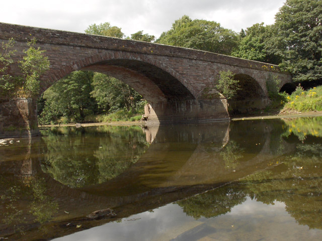
Topics > Civil Parishes in Cumbria > Ainstable Civil Parish > Historic Buildings and Monuments in Ainstable Parish
Historic Buildings and Monuments in Ainstable Parish
Listed buildings and scheduled monuments in Ainstable Civil Parish, Cumbria, from the National Heritage List for England[1]. In the absence of a published 'local list', some other public buildings of interest may also be included. Use the Search (below) if looking for a specific building / monument.
| Structure | List No. | Grade | Built~ | Locality | Note |
|---|---|---|---|---|---|
| Ainstable Hall | 1144835 | II | c1840s | Ainstable | |
| Ainstable War Memorial Lych-Gate | 1462530 | II | 1934 | Ainstable | |
| Armathwaite Bridge | 1327027 | II | C18th | Armathwaite | Part of the bridge in this Parish, part in Armathwaite. |
| Armathwaite Hall | 1144837 | II | C19th | ||
| Bascodyke | 1144843 | II | C17th | ||
| Bramery | 1312389 | II | C18th | Farmhouse | |
| Broomrigg A: large irregular stone circle and associated stone alignment in Broomrigg Plantation, 820m south east of Street House | 1015273 | n/a | Scheduled Monument | ||
| Broomrigg B1: small stone circle in Broomrigg Plantation, 920m south east of Street House | 1015272 | n/a | Scheduled Monument | ||
| Broomrigg C: small stone circle in Broomrigg Plantation, 1010m south east of Street House | 1015274 | n/a | Scheduled Monument | ||
| Broomrigg D: small stone circle in Broomrigg Plantation, 760m north west of Far Shields | 1015891 | n/a | Scheduled Monument | ||
| Broomrigg F: two hut circles in Broomrigg Plantation, 900m south east of Street House | 1015276 | n/a | Scheduled Monument | ||
| Broomrigg G: standing stone in Broomrigg Plantation, 730m south east of Street House | 1015275 | n/a | Scheduled Monument | ||
| Broomrigg I: standing stone in Broomrigg Plantation, 920m south east of Street House | 1015277 | n/a | Scheduled Monument | ||
| Broomrigg P: shieling in Broomrigg Plantation, 775m south east of Street House | 1015278 | n/a | Scheduled Monument | ||
| Byre West of Townhead | 1137235 | II* | C16th | ||
| Church of St John the Baptist | 1144838 | II | 1878 | Croglin | |
| Church of St Michael and All Angels | 1144834 | II | 1872 | Ainstable | |
| Croglin War Memorial | 1461621 | II | 1921 | Croglin | |
| Cross South of Cross House | 1137249 | II | C18th | ||
| Dale Farmhouse and Adjoining Barn (Not to Be Confused with Dale Farmhouse to West) | 1144840 | II | C17th | Dale | |
| Fair Hill House, and Adjoining Barn | 1144839 | II | 1729 | ||
| Low Fold | 1144841 | II | C19th | Farmhouse | |
| Stable Block to North West of the Nunnery | 1144842 | II | C19th | ||
| Summer House South of the Nunnery | 1327031 | II | C19th | ||
| The Dale | 1327029 | II | C17th | Farmhouse | |
| The Nunnery | 1312417 | I | C13th | Staffield | |
| The Old Pele and Rectory Farmhouse and Barn | 1327028 | II* | C15th | ||
| Townhead | 1144836 | II | C19th | Ainstable | Farmhouse |
| Townhead | 1327030 | II | 1702 | Newbiggin | Farmhouse |
| Croglin Bridge | Not listed | n/a | 1773 | Croglin |
Primary source: the National Heritage List for England - NHLE is the register of nationally protected historic buildings and sites in England, including listed buildings, scheduled monuments, protected wrecks, registered parks and gardens, and battlefields. The list is maintained by Historic England. Check NHLE for updates and new entries.
Secondary sources: British Listed Buildings.
Co-Curate Page
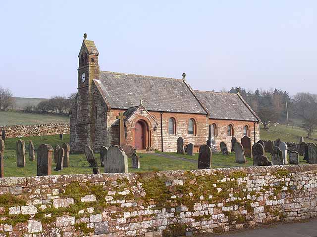
Church of John the Baptist, Croglin
- Overview Map Street View John the Baptist's Church in Croglin, Cumbria, was built in 1878 by J. Howison of Edinburgh, on the site of an earlier medieval church. The Church …
Co-Curate Page
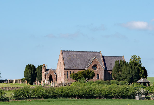
Church of St Michael and All Angels, Ainstable
- St Michael and All Angels's Church in Ainstable, Cumbria, was built in 1872 on the site of an earlier Medieval church. The church tower had to be demolished in 1983. …
Co-Curate Page
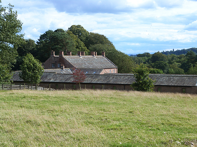
The Nunnery, Staffield
- The Nunnery is located to the east of Staffield in the Eden District of Cumbria. It was originally built as a Benedictine Nunnery; the oldest parts of the building date …
Co-Curate Page
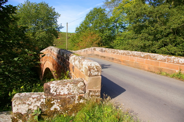
Croglin Bridge
- Overview Map Street View A stone bridge carries the B6413 road over Croglin Water at the south of the village of Croglin in Cumbria. It was known as Croglin High …


Co-Curate Page
Church of John the Baptist, Croglin
- Overview Map Street View John the Baptist's Church in Croglin, Cumbria, was built in 1878 by J. Howison of Edinburgh, on the site of an earlier medieval church. The Church …

Co-Curate Page
Church of St Michael and All Angels, Ainstable
- St Michael and All Angels's Church in Ainstable, Cumbria, was built in 1872 on the site of an earlier Medieval church. The church tower had to be demolished in 1983. …

Co-Curate Page
The Nunnery, Staffield
- The Nunnery is located to the east of Staffield in the Eden District of Cumbria. It was originally built as a Benedictine Nunnery; the oldest parts of the building date …

