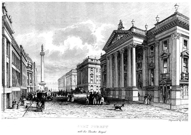
Topics > Newcastle City Centre > Streets > King's Road
King's Road
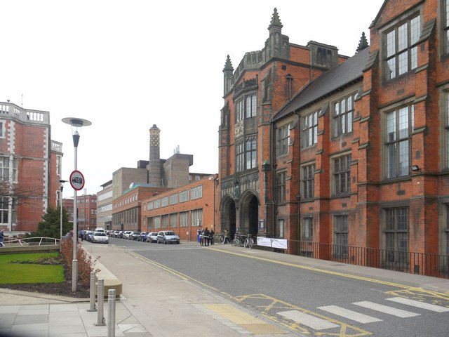
King's Road runs through the centre of the main campus of Newcastle University (parts now restricted for vehicle access). The road runs north-eastwards from St Thomas Street to Claremont Road. The name of the street reflects the time of King's College, Newcastle, before it became Newcastle University in 1963.
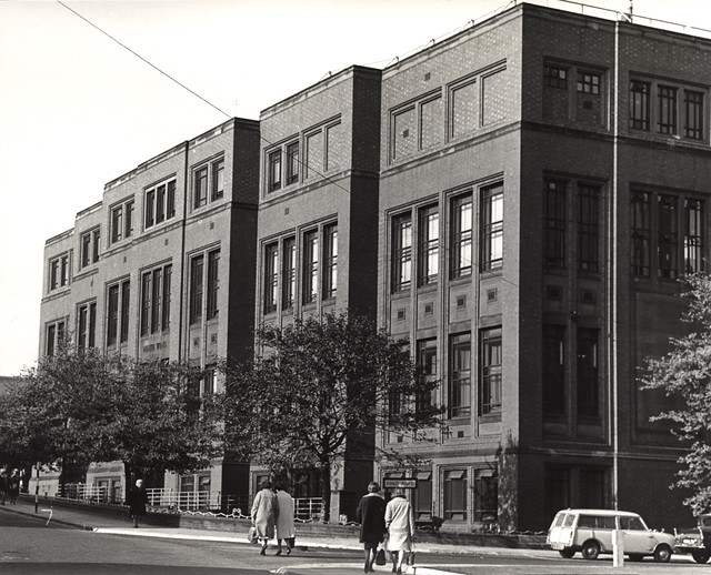
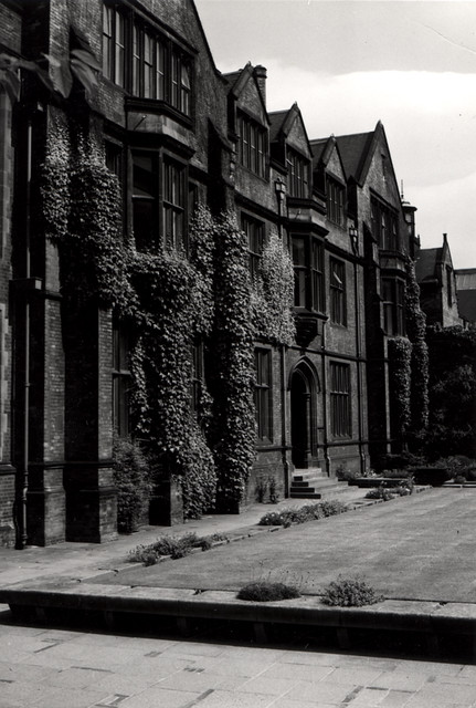
from Newcastle libraries (flickr)
013978:Health Wing Medical School University of Newcastle upon Tyne St. Thomas Street/King's Road University of Newcastle upon Tyne
Pinned by Simon Cotterill
Co-Curate Page
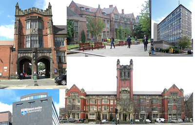
Newcastle University
- Overview About Newcastle University Timeline Map Street View Buildings Can you help build the: Visual Timeline ? Newcastle University (officially, the University of Newcastle upon Tyne) is a public research university …
Co-Curate Page
Claremont Road
- Overview Map Street View Clarmont Road is a street in Newcastle, which is 1.2 miles long and runs in a rougly north-westerly direction from Barras Bridge in the City Centre, …
Co-Curate Page
Quadrangle
- Overview Map Street View The Quadrangle lies at the heart of Newcastle University with gardens and thoroughfare, which is a favourite place for graduation photographs. It is surrounded on all sides, …
Co-Curate Page
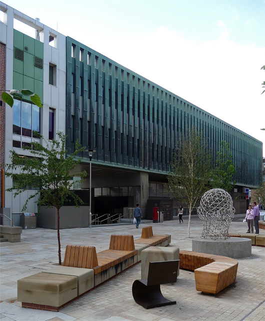
Boiler House
- Overview Map Street View The Main Boiler House on King's Road was built in 1923. In 2016-17 the Boiler House was redeveloped into include an events space for student and …
Co-Curate Page
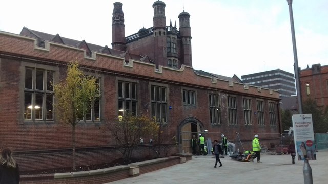
Hadrian Building
- Overview Map Street View The Hadrian Building (formerly known as the King's Road Centre) is located on Kings Road at Newcastle University. It was built 1960-1964 and designed by Sir …

from Newcastle libraries (flickr)
013978:Health Wing Medical School University of Newcastle upon Tyne St. Thomas Street/King's Road University of Newcastle upon Tyne
Pinned by Simon Cotterill
Co-Curate Page
Newcastle University
- Overview About Newcastle University Timeline Map Street View Buildings Can you help build the: Visual Timeline ? Newcastle University (officially, the University of Newcastle upon Tyne) is a public research university …
Co-Curate Page
Claremont Road
- Overview Map Street View Clarmont Road is a street in Newcastle, which is 1.2 miles long and runs in a rougly north-westerly direction from Barras Bridge in the City Centre, …
Co-Curate Page
Quadrangle
- Overview Map Street View The Quadrangle lies at the heart of Newcastle University with gardens and thoroughfare, which is a favourite place for graduation photographs. It is surrounded on all sides, …
Co-Curate Page
Boiler House
- Overview Map Street View The Main Boiler House on King's Road was built in 1923. In 2016-17 the Boiler House was redeveloped into include an events space for student and …
Co-Curate Page
Hadrian Building
- Overview Map Street View The Hadrian Building (formerly known as the King's Road Centre) is located on Kings Road at Newcastle University. It was built 1960-1964 and designed by Sir …
Borough: Newcastle


