Topics > Northumberland > Civil Parishes in Northumberland > Hollinghill Civil Parish
Hollinghill Civil Parish
Area: 58.9 km²
Population:
102 (2021 Census)
101 (2011 Census)
120 (2001 Census)
Co-Curate Page
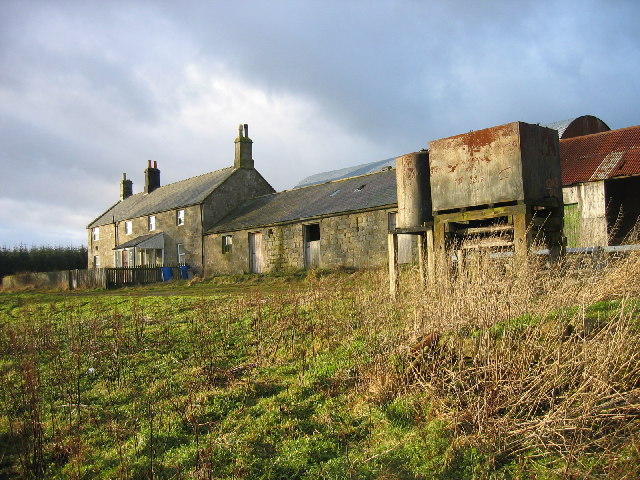
Fallowlees
- Overview Map Fallowlees Farm is located on the edge of Harwood Forest, about 5 miles south-west of Rothbury in Northumberland. Remains of ridge and furrow cultivation suggest there was a …
Co-Curate Page
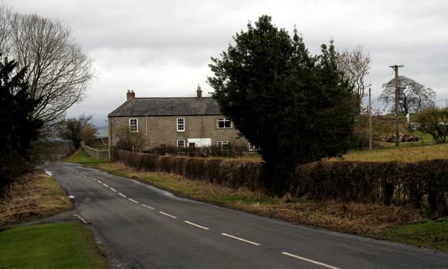
Greenleighton (Rothley)
- Overview Map Street View GREENLEIGHTON, a township, in the parish of Hartburn, union of Rothbury, N.E. division of Tindale ward, S. division of Northumberland, 7¾ miles (S.S.W.) from Rothbury; containing …
from https://northumberlandparishe…
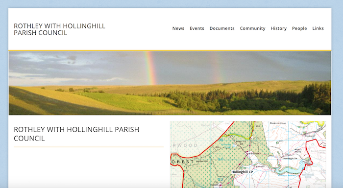
Rothley with Hollinghill Parish Council
Added by
Simon Cotterill

Co-Curate Page
Fallowlees
- Overview Map Fallowlees Farm is located on the edge of Harwood Forest, about 5 miles south-west of Rothbury in Northumberland. Remains of ridge and furrow cultivation suggest there was a …
Co-Curate Page
Greenleighton (Rothley)
- Overview Map Street View GREENLEIGHTON, a township, in the parish of Hartburn, union of Rothbury, N.E. division of Tindale ward, S. division of Northumberland, 7¾ miles (S.S.W.) from Rothbury; containing …
from https://northumberlandparishe…
Rothley with Hollinghill Parish Council
Added by
Simon Cotterill


