Ruins at Hill Top


-
Description
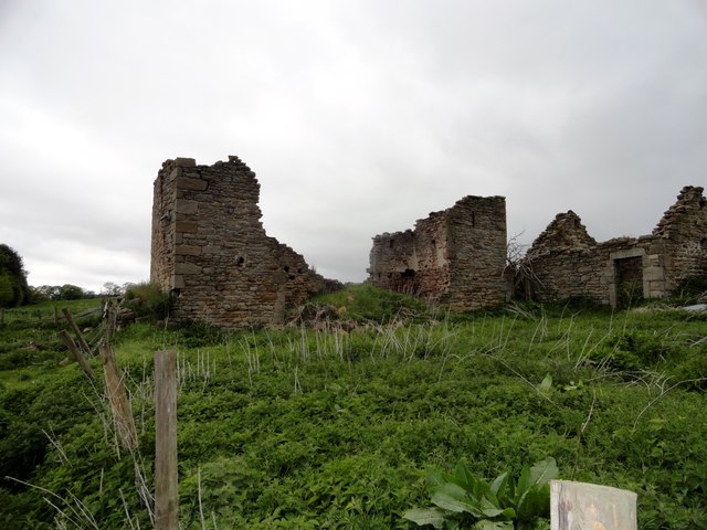
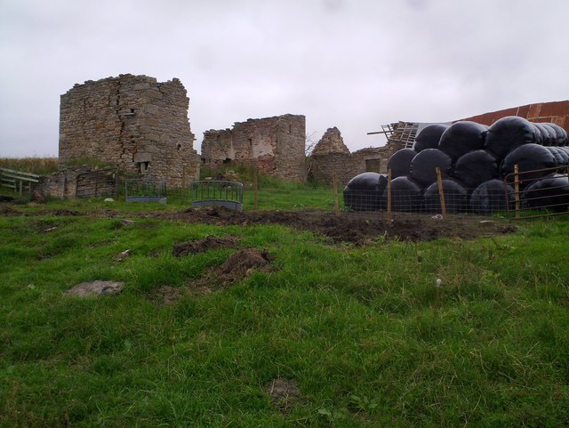
"This ruined farm stands beside a back road between Shotley Bridge and Ebchester. From a study of the old C19 Ordnance Survey maps, I would guess that the left hand building was a linear farmhouse with a byer on the left and the house at the right. The single storey building on the right would have possibly been another byer or barn. The early maps clearly show this L shaped layout." Photo by Robert Graham, 2015. -
Owner
Robert Graham -
Source
Geograph (Geograph) -
License
What does this mean? Creative Commons License
-
Further information
Link: http://www.geograph.org.uk/photo/4920276
Resource type: Image
Added by: Simon Cotterill
Last modified: 2 years, 11 months ago
Viewed: 312 times
Picture Taken: 2015-05-22 -
Co-Curate tags


