Topics > County Durham > Hawthorn > Hawthorn Dene Nature Reserve
Hawthorn Dene Nature Reserve
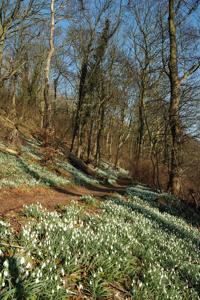
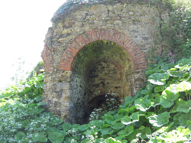
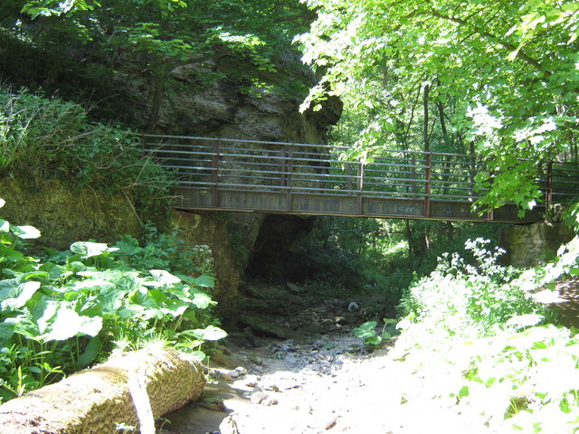
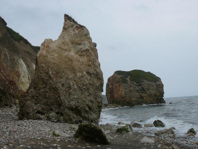
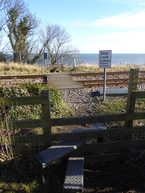
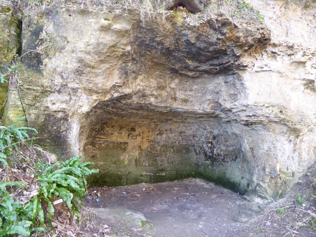
Hawthorn Dene is a Site of Special Scientific Interest in the Easington district of County Durham, England. The site occupies the incised valley of Hawthorn Burn and extends from just south of the village of Hawthorn eastward as far as the Durham Coast railway line: the area between the railway line and the sea forms part of the Durham Coast SSSI.
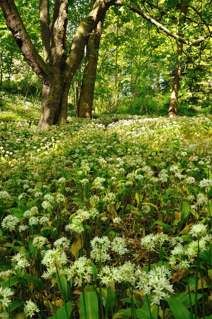
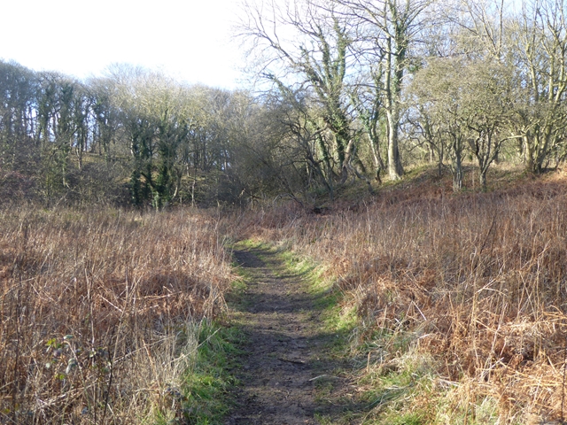
Much of the area consists of semi-natural and relatively undisturbed woodland that has developed on magnesian limestone; within Durham, only Castle Eden Dene SSSI has a largest area under this type of vegetation. At the eastern end of the dene, the woodland gives way to magnesian limestone grassland, while at the western end there is an area of tall fen vegetation.
Much of the woodland is dominated by ash, Fraxinus excelsior, but in places wych elm, Ulmus glabra is dominant; such woodland is scarce in Durham. Another notable feature is the occurrence of yew, Taxus baccata, on the lower valley slopes, this being rare in Britain.
Visit the page: Hawthorn Dene for references and further details. You can contribute to this article on Wikipedia.
from http://durhamwt.com/reserves/…
Hawthorn Dene Nature Reserve
- "Hawthorn Dene is a steep-sided ravine that cuts through the magnesian limestone of the Durham Coast. The woodland that developed within the dene is characteristic of the area and includes …
Added by
Pat Thomson

from Youtube (youtube)
Stunning Aerial Footage of DWT's Hawthorn Dene Nature Reserve, Seaham
Pinned by Pat Thomson
Co-Curate Page
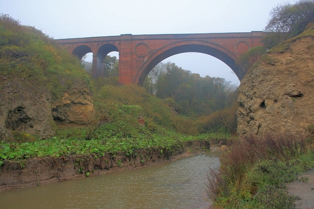
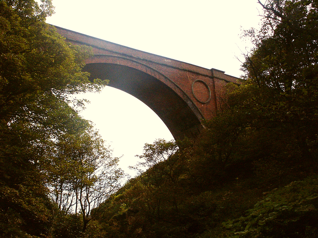
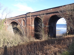
Hawthorn Dene Viaduct
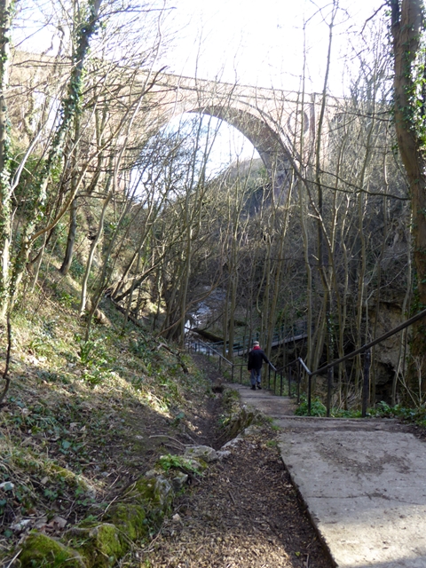
- Overview Map Street View The railway viaduct over Hawthorn Dene was built in 1905 for the North-Eastern Railway Company. The viaduct is located near the coast at the mouth of …
Co-Curate Page
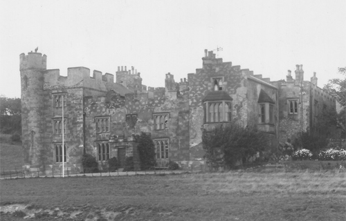
Hawthorn Towers (demolished)
- Hawthorn Towers was a gothic county house in Hawthorn Dene, to the east of Hawthorn, built in 1821 by John Dobson. The Pemberton family bought the property in the late …

from http://durhamwt.com/reserves/…
Hawthorn Dene Nature Reserve
- "Hawthorn Dene is a steep-sided ravine that cuts through the magnesian limestone of the Durham Coast. The woodland that developed within the dene is characteristic of the area and includes …
Added by
Pat Thomson
from Youtube (youtube)
Stunning Aerial Footage of DWT's Hawthorn Dene Nature Reserve, Seaham
Pinned by Pat Thomson
Co-Curate Page
Hawthorn Dene Viaduct
- Overview Map Street View The railway viaduct over Hawthorn Dene was built in 1905 for the North-Eastern Railway Company. The viaduct is located near the coast at the mouth of …