Topics > Northumberland > Gilsland > Hadrian's Wall at Gilsland
from Geograph (geograph)
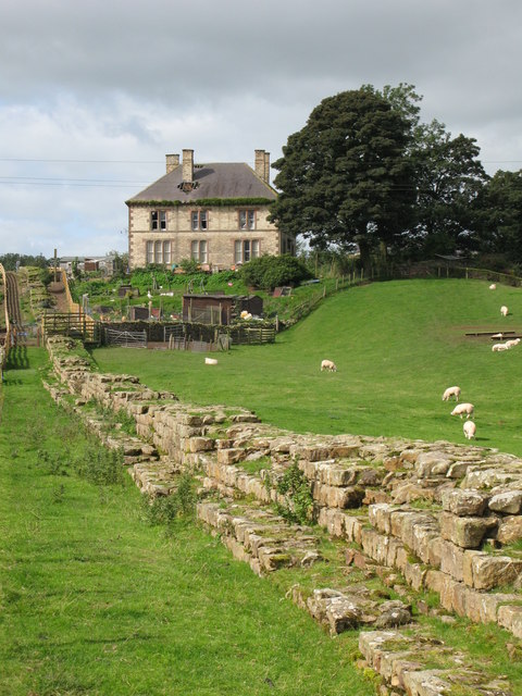
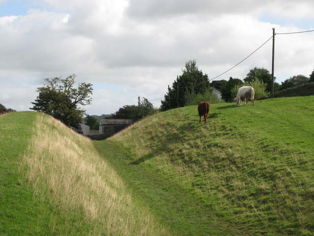
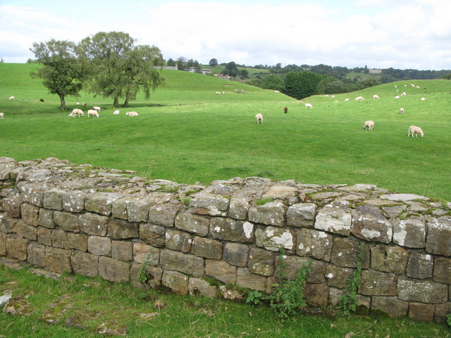
The north defensive ditch of Hadrian's Wall east of Gilsland (3)
Pinned by Simon Cotterill
from Geograph (geograph)
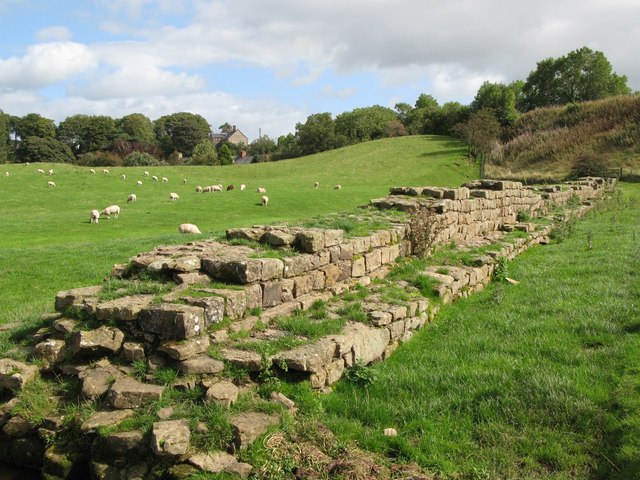
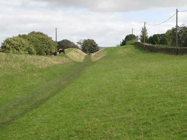
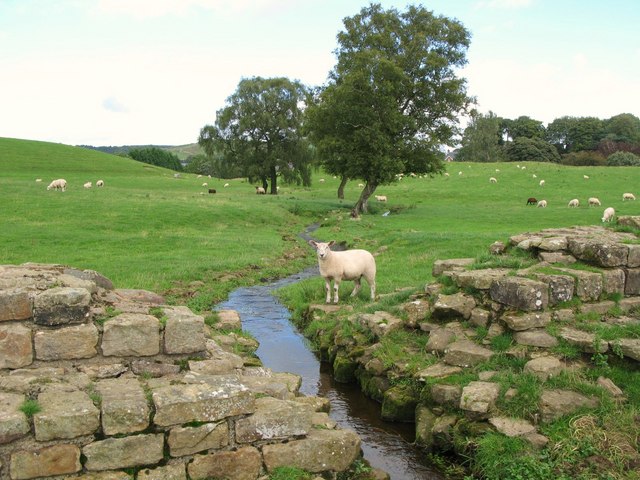
The north defensive ditch of Hadrian's Wall east of Gilsland (2)
Pinned by Simon Cotterill

Co-Curate Page
Cumbria
- Settlements About Cumbria Timeline Schools Civil Parishes Lakes Rivers Note: This page relates to the ceremonial county of Cumbria. From 1st April 2023 two new unitary authorities ('Cumberland' and 'Westmorland …

from https://historicengland.org.u…
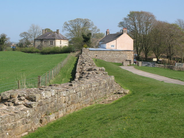
Hadrian's Wall and vallum and their associated features between Poltross Burn and the River Irthing in wall mile 48 - List Entry
- "The monument includes the section of Hadrian's Wall and vallum and their associated features between the Poltross Burn in the east and the River Irthing in the west. Hadrian's Wall …
Added by
Simon Cotterill
from Geograph (geograph)
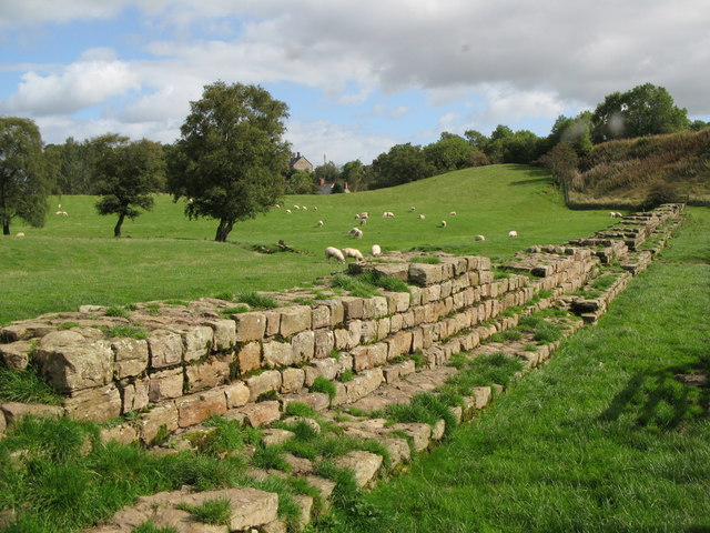
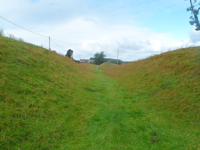
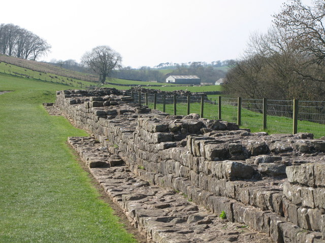
Hadrian's Wall east of Turret 48a (Willowford East) (2)
Pinned by Simon Cotterill
from Geograph (geograph)
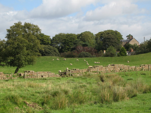
Hadrian's Wall east of Turret 48a (Willowford East)
Pinned by Simon Cotterill

Co-Curate Page
Wall Mile 48
- Overview Map Street View Interactive Glossary <Mile 47 | Mile 48 | Mile 49> Hadrian's Wall - Wall Mile 48 Hadrian's Wall stretches from the east to west coast of …

from Geograph (geograph)
The north defensive ditch of Hadrian's Wall east of Gilsland (3)
Pinned by Simon Cotterill
from Geograph (geograph)
The north defensive ditch of Hadrian's Wall east of Gilsland (2)
Pinned by Simon Cotterill
Co-Curate Page
Cumbria
- Settlements About Cumbria Timeline Schools Civil Parishes Lakes Rivers Note: This page relates to the ceremonial county of Cumbria. From 1st April 2023 two new unitary authorities ('Cumberland' and 'Westmorland …
from https://historicengland.org.u…
Hadrian's Wall and vallum and their associated features between Poltross Burn and the River Irthing in wall mile 48 - List Entry
- "The monument includes the section of Hadrian's Wall and vallum and their associated features between the Poltross Burn in the east and the River Irthing in the west. Hadrian's Wall …
Added by
Simon Cotterill
from Geograph (geograph)
Hadrian's Wall east of Turret 48a (Willowford East) (2)
Pinned by Simon Cotterill
from Geograph (geograph)
Hadrian's Wall east of Turret 48a (Willowford East)
Pinned by Simon Cotterill
Co-Curate Page
Wall Mile 48
- Overview Map Street View Interactive Glossary <Mile 47 | Mile 48 | Mile 49> Hadrian's Wall - Wall Mile 48 Hadrian's Wall stretches from the east to west coast of …

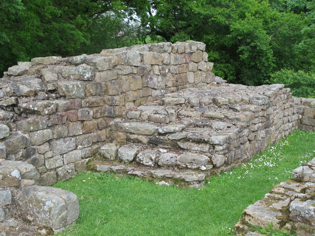
List number: 1015923

")


