Topics > Northumberland > Greenhead
Greenhead
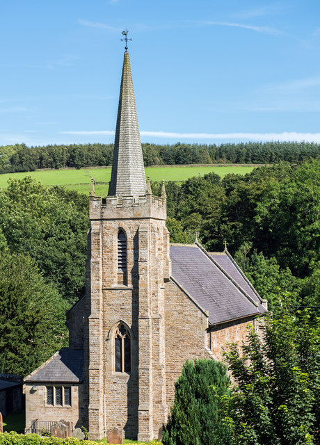
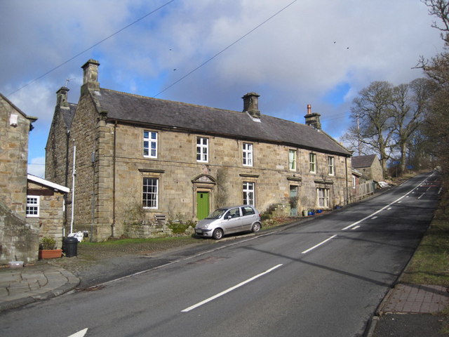
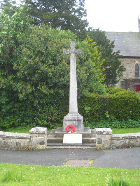
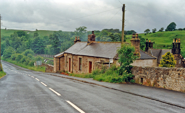
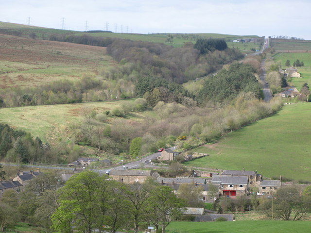
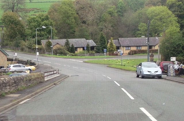
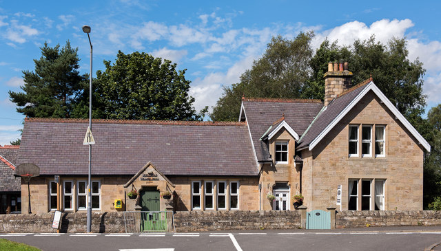
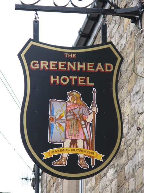
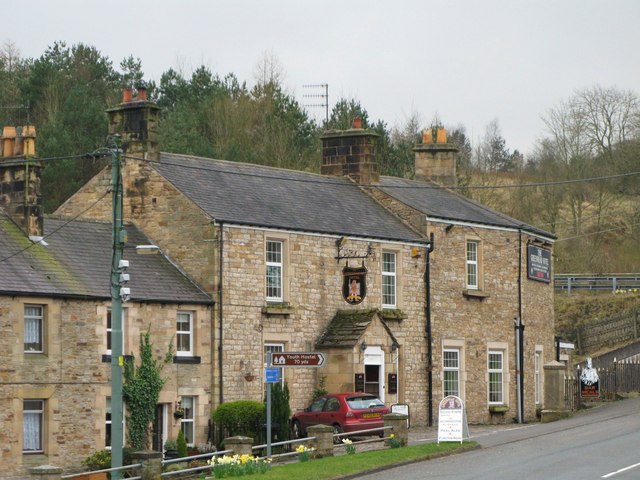
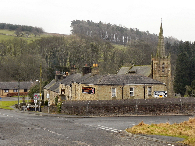
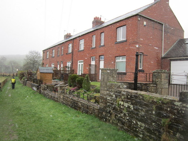
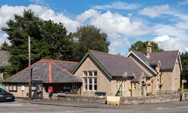
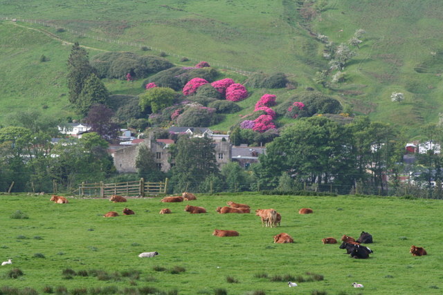
Greenhead is a village in Northumberland, England. The village is on the Military Road (B6318), about 17 miles from Chollerford, 3 miles from Haltwhistle and 9 miles from Brampton, Cumbria along the A69 road. The A69 road bypasses the village, but until the 1980s all vehicular traffic passed through the village. The village lies just outside the Northumberland National Park, close to Hadrian's Wall. Just to the north of the village is the 12th century Thirlwall Castle, recently opened to the public. Nearby villages include Upper Denton and Haltwhistle.
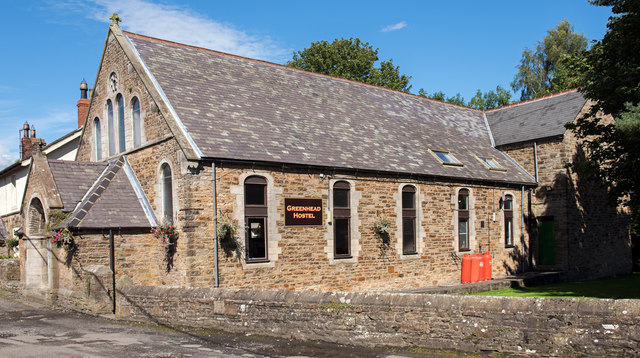
A former Methodist chapel in the village is now a youth hostel.
The Pennine Way, the UK's first National Trail, passes through Greenhead.
Governance
Greenhead, Northumberland is in the parliamentary constituency of Hexham.
Landmarks
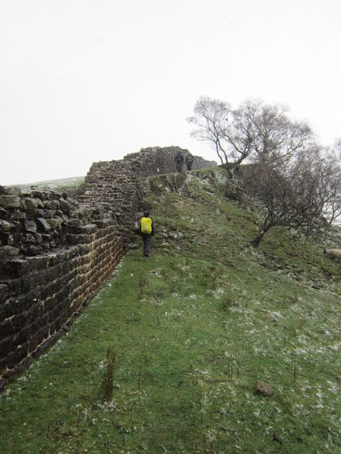
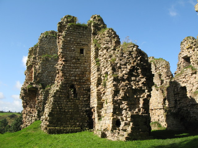
Thirlwall Castle (grid reference NY65946615) is a 12th-century castle on the bank of the River Tipalt close to the village of Greenhead and approximately west of Hexham. It was built in the 12th century, and later strengthened using stones from nearby Hadrian's Wall, but began to fall into disrepair in the 17th century. The site is protected by Grade I listed building and Scheduled Ancient Monument status.
Transport
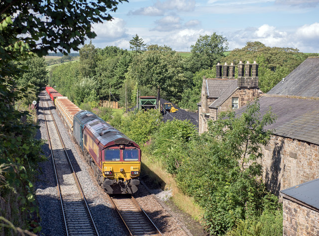
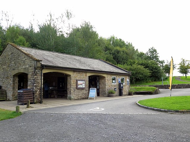
The village was served by Greenhead railway station on the Newcastle and Carlisle Railway, also known as the Tyne Valley Line. The line was opened in 1838, and links the city of Newcastle upon Tyne in Tyne and Wear with Carlisle in Cumbria. The line follows the course of the River Tyne through Northumberland. The station opened on 19 July 1836, when the section from Carlisle London Road to Greenhead opened, and closed in 1967. The nearest open station is at Haltwhistle (3 miles).
Visit the page: Greenhead, Northumberland for references and further details. You can contribute to this article on Wikipedia.
from Geograph (geograph)
Greenhead: northward beside site/remains of station, 1997
Pinned by Pat Thomson

Co-Curate Page
Blenkinsopp Castle
- Overview About Blenkinsopp Castle Map Blenkinsopp Castle is a fire-damaged, partly demolished 19th-century country mansion, incorporating the ruinous remains of a 14th-century tower house, which is located above the …

from Geograph (geograph)
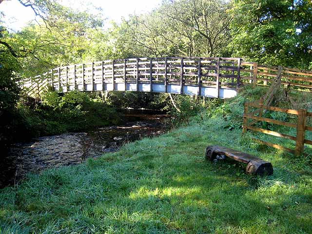
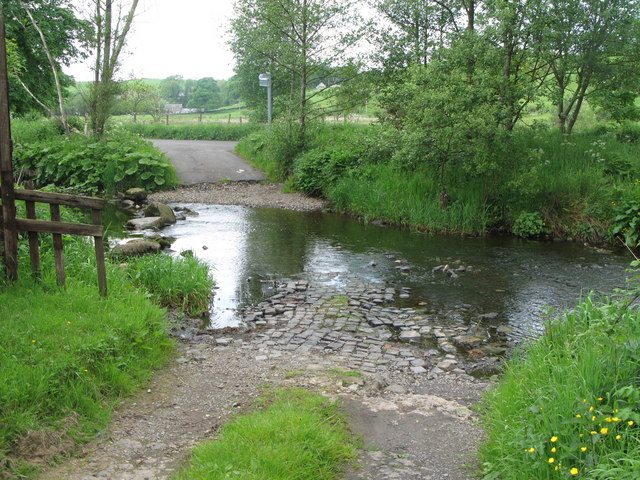
Footbridge and Confluence of Pow Charney Burn and Tipal Burn
Pinned by Peter Smith
Co-Curate Page
Blenkinsopp
- Overview Map Blenkinsopp is a hamlet by the Tipalt Burn in Northumberland, about half a mile south east of the village of Greenhead and two and a half miles west …

Co-Curate Page
Greenhead, 1848
- GREENHEAD, a village, in the township of Blenkinsopp, parish and union of Haltwhistle, W. division of Tindale ward, S. division of Northumberland, 3½ miles (W. by N.) from Haltwhistle. This …

from Geograph (geograph)
Greenhead: northward beside site/remains of station, 1997
Pinned by Pat Thomson
Co-Curate Page
Blenkinsopp Castle
- Overview About Blenkinsopp Castle Map Blenkinsopp Castle is a fire-damaged, partly demolished 19th-century country mansion, incorporating the ruinous remains of a 14th-century tower house, which is located above the …
from Geograph (geograph)
Footbridge and Confluence of Pow Charney Burn and Tipal Burn
Pinned by Peter Smith
Co-Curate Page
Blenkinsopp
- Overview Map Blenkinsopp is a hamlet by the Tipalt Burn in Northumberland, about half a mile south east of the village of Greenhead and two and a half miles west …