Topics > Geography > Rivers > River South Tyne > Tipalt Burn
Tipalt Burn
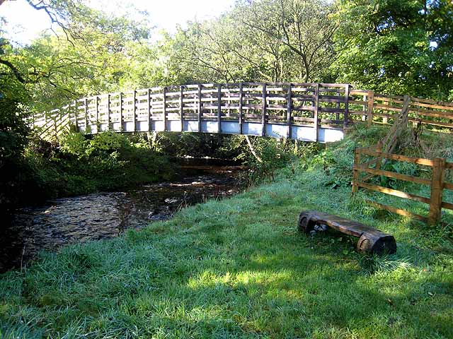
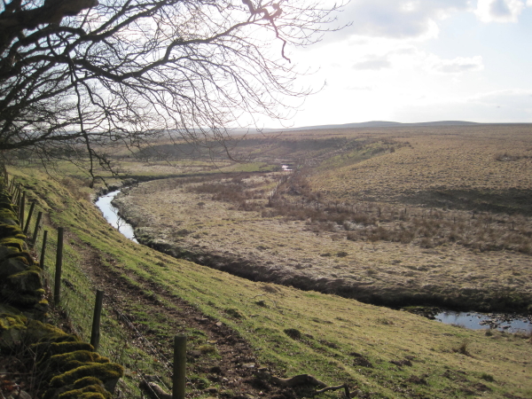
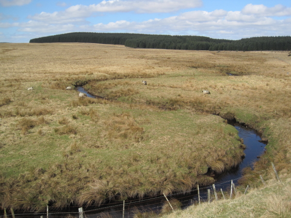
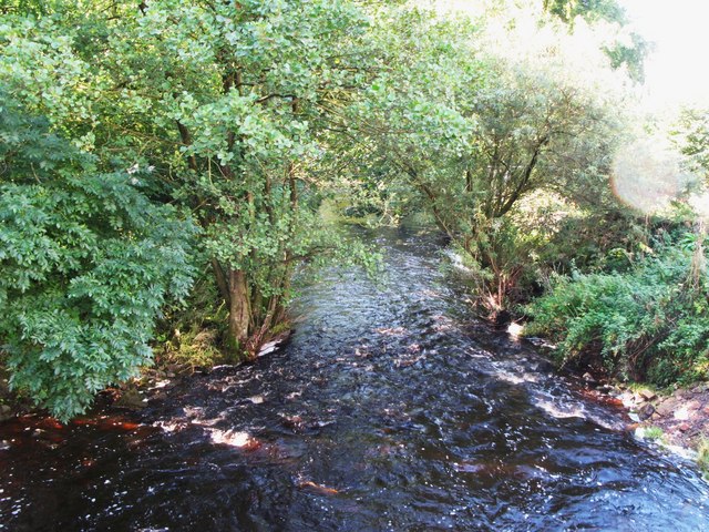
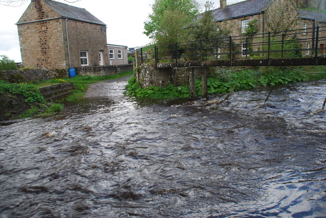
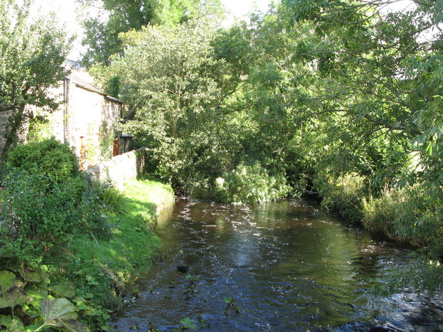
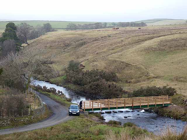
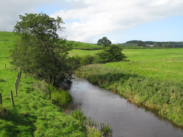
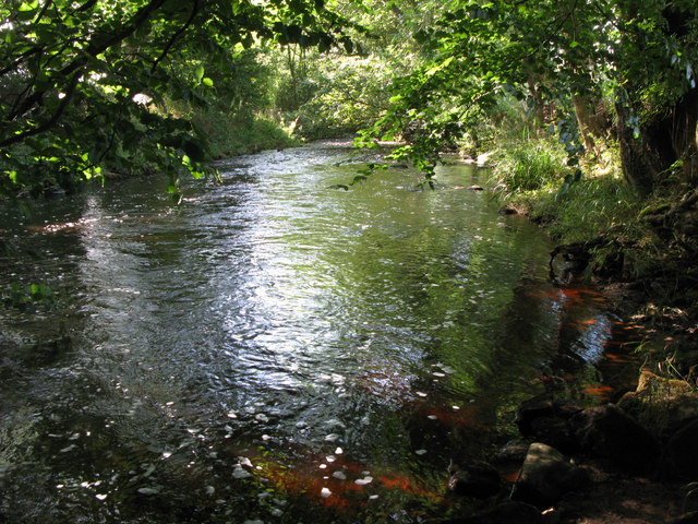
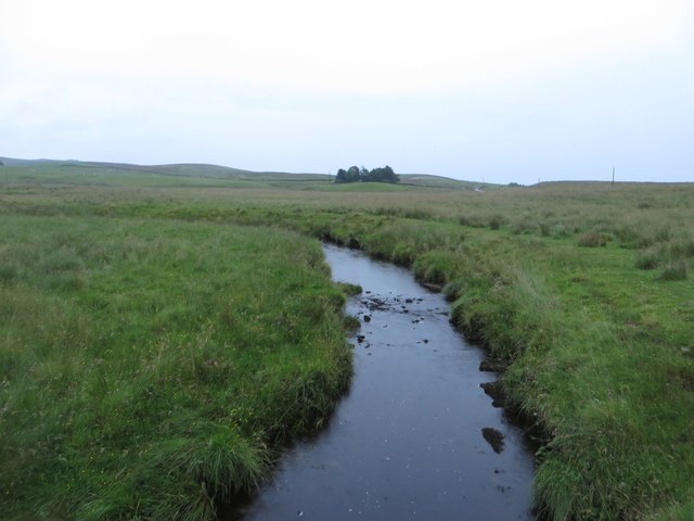
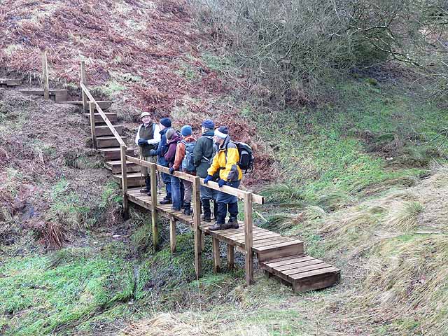
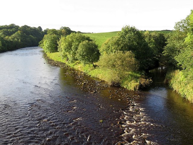
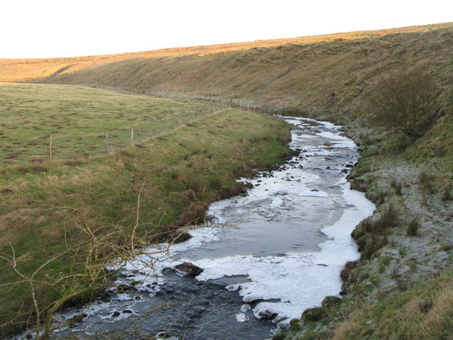
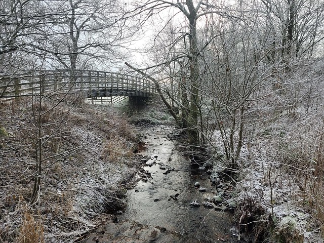
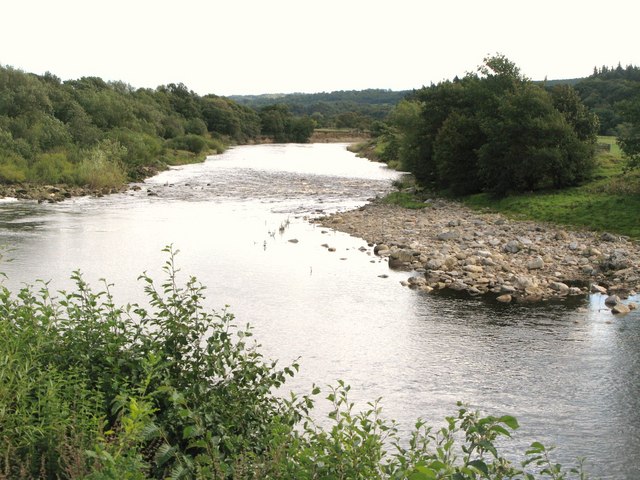
Tipalt Burn is a tributary of the River South Tyne. The burn is aproximately 24 km long and has a catchment area of 5,177 ha.[1] It arises by Black Fell, about 8 km north of Haltwhistle, flowing roughly south-westerly, past Whiteside and Thirlwell Castle and on to Greenhead, where its course changes south-eastwards until joining the River South Tyne just south of Haltwhistle.
Co-Curate Page
Haltwhistle
- Overview About Haltwhistle Map Street View Haltwhistle is a small town and civil parish in Northumberland, England, 10 miles east of Brampton, near Hadrian's Wall. It had a population …
Co-Curate Page
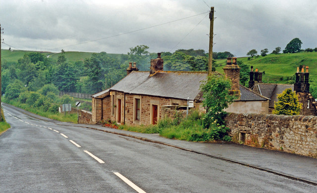
Greenhead
- Overview About Greenhead Map Street View Greenhead is a village in Northumberland, located about 3 miles west of Haltwistle (there is also another village called Greenhead in Shotley Low Quater). St Cuthbert's Church …
Co-Curate Page
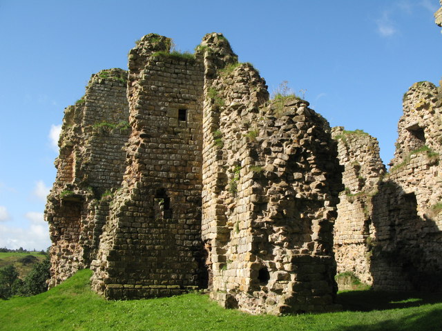
Thirlwall Castle
- Overview About Thirlwall Castle Map Street View Thirlwall Castle is a 12th-century castle in Northumberland, England, on the bank of the River Tipalt close to the village of Greenhead …


Co-Curate Page
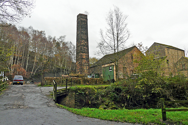
Whiteside, Thirlwall
- Overview Map Street View Whiteside is a farm in Northumberland, located about 3 miles north of Haltwhistle. It is situated by Tipalt Burn. The present farmhouse here was built in …

Co-Curate Page
Haltwhistle
- Overview About Haltwhistle Map Street View Haltwhistle is a small town and civil parish in Northumberland, England, 10 miles east of Brampton, near Hadrian's Wall. It had a population …
Co-Curate Page
Greenhead
- Overview About Greenhead Map Street View Greenhead is a village in Northumberland, located about 3 miles west of Haltwistle (there is also another village called Greenhead in Shotley Low Quater). St Cuthbert's Church …
Co-Curate Page
Thirlwall Castle
- Overview About Thirlwall Castle Map Street View Thirlwall Castle is a 12th-century castle in Northumberland, England, on the bank of the River Tipalt close to the village of Greenhead …
Co-Curate Page
Whiteside, Thirlwall
- Overview Map Street View Whiteside is a farm in Northumberland, located about 3 miles north of Haltwhistle. It is situated by Tipalt Burn. The present farmhouse here was built in …


Wikipedia: Tipalt Burn


