Topics > Civil Parishes in Cumbria > Grayrigg Civil Parish
Grayrigg Civil Parish
Area: 19.5 km²
Population:
214 (2021 Census)
242 (2011 Census)
223 (2001 Census)
Co-Curate Page
Grayrigg
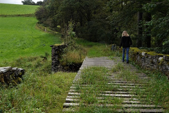
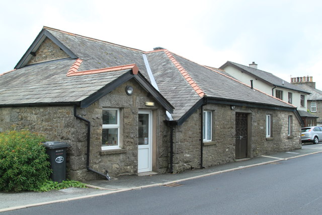
- Overview About Grayrigg Map Street View Grayrigg is a small village and civil parish in the South Lakeland district of Cumbria, England. It lies on undulated and partly mountainous …
Co-Curate Page
Lowgill
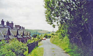
- Overview Map Street View Lowgill is a hamlet by the River Lune in Cumbria, located about 7 miles north-west of Kendal and 4 miles north-east of Sedbergh. Lowgill was an …
Co-Curate Page
Beck Foot
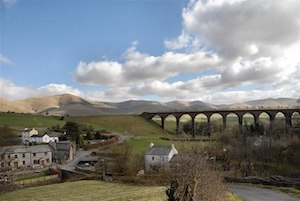
- Overview Map Street View Beck Foot is a hamlet near Lowgill in Cumbria, located about 6 miles north-east of Kendal. Lowgill Viaduct crosses the beck, which gives the settlement it's …

Co-Curate Page
Grayrigg
- Overview About Grayrigg Map Street View Grayrigg is a small village and civil parish in the South Lakeland district of Cumbria, England. It lies on undulated and partly mountainous …
Co-Curate Page
Lowgill
- Overview Map Street View Lowgill is a hamlet by the River Lune in Cumbria, located about 7 miles north-west of Kendal and 4 miles north-east of Sedbergh. Lowgill was an …