Topics > Northumberland > Glendale
Glendale
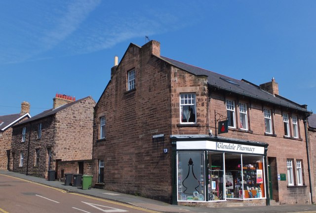
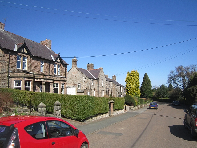
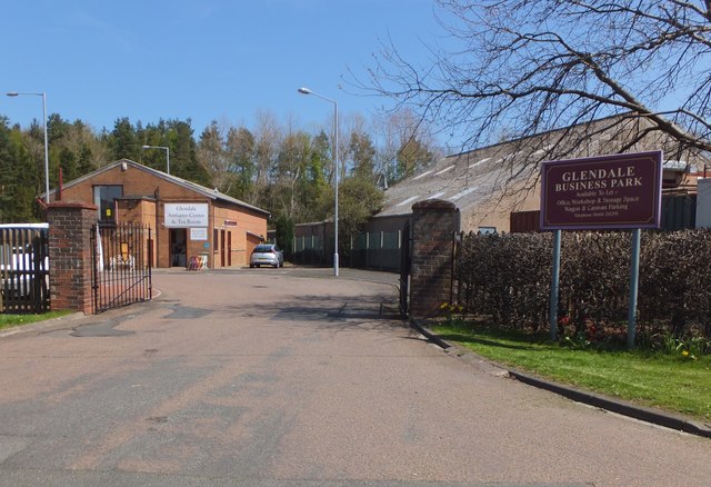
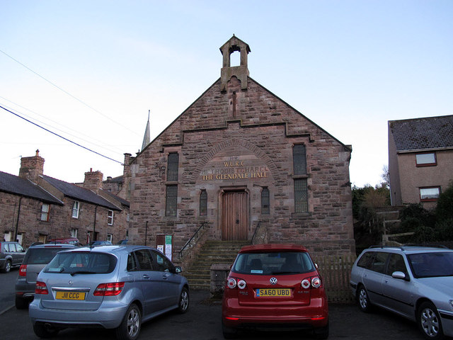
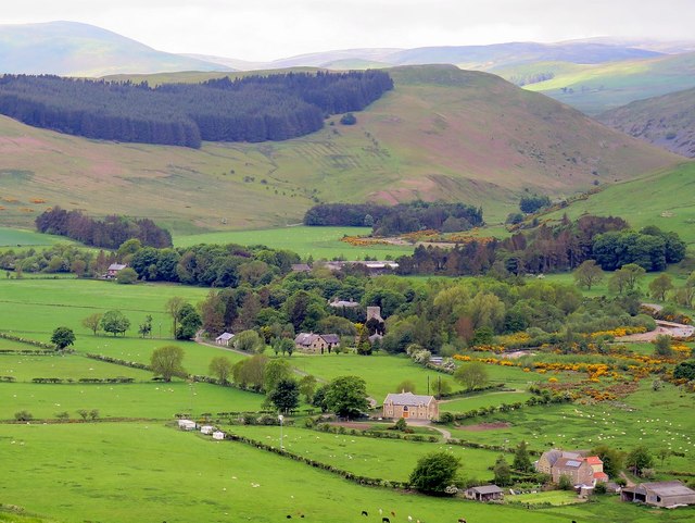
Glendale is the name of the valley formed by the River Glen in Northumberland. However, the name Glendale is generally applied to the wider area around the town of Wooler, covering an area of 250 square miles stretching from the river Tweed in the North to the village of Ingram in the south.[1] It is primarily a rural area, with a population of around 6,000 people. Glendale was also an inspiration for the fictional area of "Greendale" in the Postman Pat stories by John Cunliffe. The author once worked in the area as a mobile library driver. Some of the place names in Postman Pat can be linked to names of places in Glendale, and also Longsleddale in Cumbria, where he also lived.
Co-Curate Page
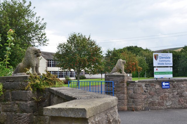
Glendale Community Middle School
- Overview Map Street View Glendale Community Middle School is located on Brewery Road on the eastern edge of Wooler. The school initially opened as Glendale County Secondary School on the 31st …
from Newcastle libraries (flickr)
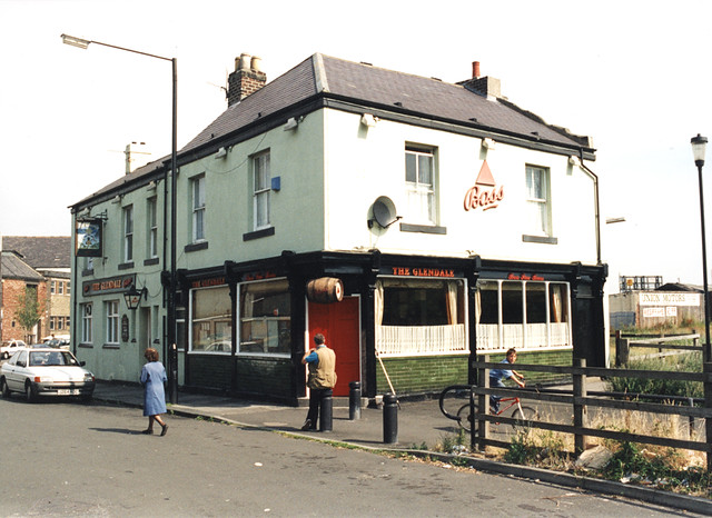
063385:The Glendale Potts Street Maybury Malcolm 1996
Pinned by Simon Cotterill
from Newcastle libraries (flickr)
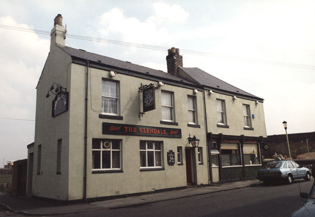
067450:The Glendale Byker Unknown; mid 1990s
Pinned by Simon Cotterill
Co-Curate Page
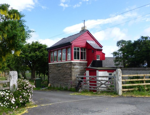
Haugh Head
- Overview Map Street View Haugh Head is a small village by Wooler Water, it is a mile south of Wooler in Northumberland, on the A697 road. The village has a garage, …
Co-Curate Page
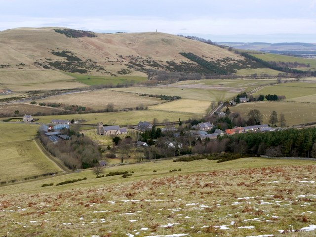
Kirknewton
- Overview About Kirknewton Map Street View From Eneas Mackenzie (1825) An Historical, Topographical, and Descriptive View of the County of Northumberland KIRK NEWTON is situate five miles west north west from …
Co-Curate Page
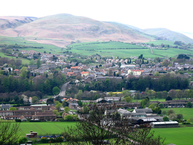
Wooler
- Overview About Wooler Timeline Map Street View Wooler is an historic market town and parish in Northumberland, situated on the edge of the Northumberland National Park, and the Cheviot Hills. …
Co-Curate Page
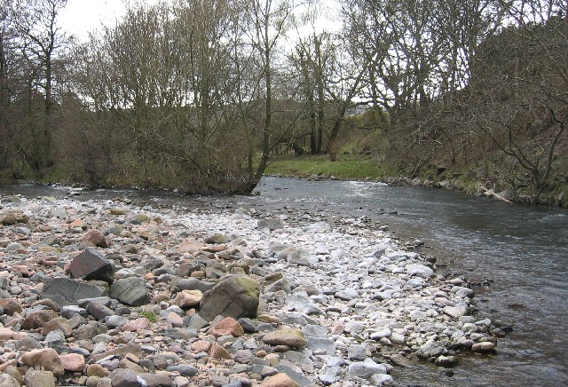
River Glen
- Overview About the River Glen The River Glen in Northumberland is a 7 mile long tributary of the River Till. The River Glen is formed at the confluence of College …
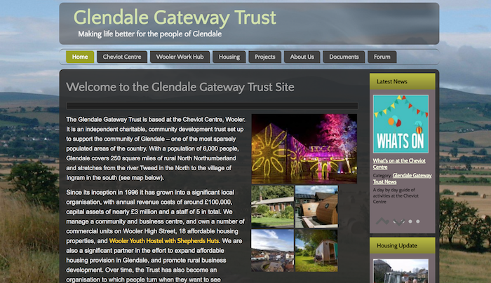
from https://www.wooler.org.uk/gle…
Glendale Gateway Trust
- "The Glendale Gateway Trust is based at the Cheviot Centre, Wooler. It is an independent charitable, community development trust set up to support the community of Glendale – one of …
Added by
Simon Cotterill


Co-Curate Page
Glendale Community Middle School
- Overview Map Street View Glendale Community Middle School is located on Brewery Road on the eastern edge of Wooler. The school initially opened as Glendale County Secondary School on the 31st …

from Newcastle libraries (flickr)
063385:The Glendale Potts Street Maybury Malcolm 1996
Pinned by Simon Cotterill

from Newcastle libraries (flickr)
067450:The Glendale Byker Unknown; mid 1990s
Pinned by Simon Cotterill

Co-Curate Page
Haugh Head
- Overview Map Street View Haugh Head is a small village by Wooler Water, it is a mile south of Wooler in Northumberland, on the A697 road. The village has a garage, …

Co-Curate Page
Kirknewton
- Overview About Kirknewton Map Street View From Eneas Mackenzie (1825) An Historical, Topographical, and Descriptive View of the County of Northumberland KIRK NEWTON is situate five miles west north west from …

Co-Curate Page
Wooler
- Overview About Wooler Timeline Map Street View Wooler is an historic market town and parish in Northumberland, situated on the edge of the Northumberland National Park, and the Cheviot Hills. …

Co-Curate Page
River Glen
- Overview About the River Glen The River Glen in Northumberland is a 7 mile long tributary of the River Till. The River Glen is formed at the confluence of College …

from https://www.wooler.org.uk/gle…
Glendale Gateway Trust
- "The Glendale Gateway Trust is based at the Cheviot Centre, Wooler. It is an independent charitable, community development trust set up to support the community of Glendale – one of …
Added by
Simon Cotterill
