Topics > Cumbria > Gilderdale

Gilderdale


Non-'official' Map of Gilderdale, modified from Gilderdale Burn Catchment Area (water body). Map also shows part of the Pennine Way / Issac's Tea Trail, which cuts across Gilderdale.

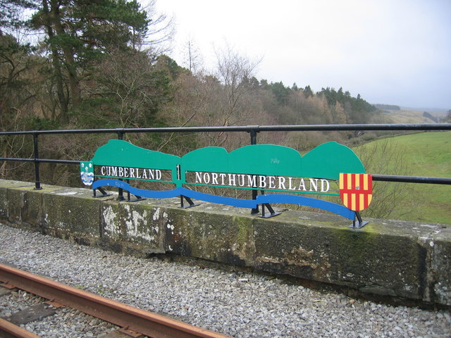
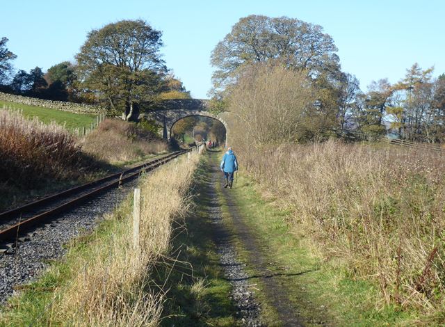
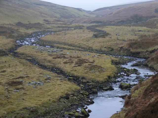
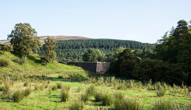
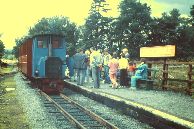
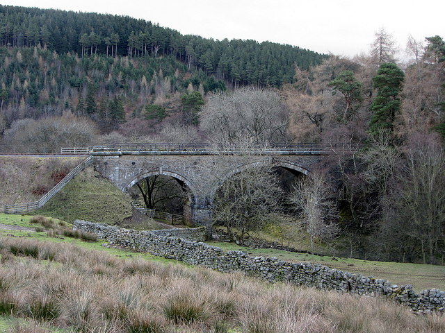
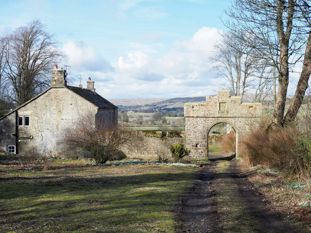
Gilderdale is the remote valley of Gilderdale Burn, north-east of Alston, and part of the North Pennines Area of Outstanding Natural Beauty (AONB). It straddles the counties of Cumbria and Northumberland. The rugged scenic area is popular with walkers, including Isaac’s Tea Trail, parts of which are in Gilderdale. The area was historically linked with lead mining. Gilderdale Railway Viaduct, on the county boarder, was built in the mid-19th century, and now used by the South Tynedale Railway, which now has a halt (station) in Gilderdale. The Pennine Way (and Issak's Tea Trail) pass through the norther end of Gilderdale, towards Epiacum Roman Fort.

Cumbria Knarsdale with Kirkhaugh Civil Parish Gilderdale Burn Alston Moor Civil Parish Gilderdale Bridge Gilderdale Halt Gilderdale Railway Viaduct
from Geograph (geograph)
County border at Gilderdale

Pinned by Simon Cotterill
from Geograph (geograph)
South Tyndale Railway below Howgill Rigg Farm

Pinned by Simon Cotterill
Gilderdale Burn
  Co-Curate Page
Gilderdale Burn
-

Comments

Add a comment or share a memory.

Login to add a comment. Sign-up if you don't already have an account.


ABOUT US

Co-Curate is a project which brings together online collections, museums, universities, schools and community groups to make and re-make stories and images from North East England and Cumbria. Co-Curate is a trans-disciplinary project that will open up 'official' museum and 'un-officia'l co-created community-based collections and archives through innovative collaborative approaches using social media and open archives/data.

LATEST SHARED RESOURCES