Topics > Newcastle City Centre > Streets > Forster Street
Forster Street
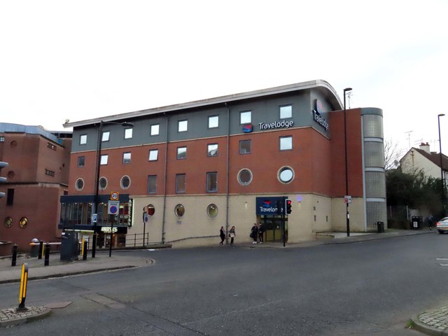
Forster Street is a short street in Newcastle, which runs from City Road to Pandon, near the Quayside. A Glassite Chapel is on Forster Street is shown on the 1860 edition of the Ordnance Survey map, but no longer shown on the 1896 edition.[1] The small chapel was built against a short surviving section of the medieval Town Wall. The Town Wall between Forster Street and Sand Gate was demolished in 1803. The section between Forster Street and Walknoll was demolished in 1881, for the making of City Road. Today, there is a Travelodge hotel on Forster Street.

from https://sitelines.newcastle.g…
Forster Street, Glassite Chapel
- On 1860 Ordnance Survey but gone by 1896 edition. Small building built against internal face of a short surviving section of medieval town wall. The Glassite movement was founded by …
Added by
Simon Cotterill


from https://sitelines.newcastle.g…
Forster Street, Glassite Chapel
- On 1860 Ordnance Survey but gone by 1896 edition. Small building built against internal face of a short surviving section of medieval town wall. The Glassite movement was founded by …
Added by
Simon Cotterill


