Topics > County Durham > Civil Parishes in County Durham > Forest and Frith Civil Parish
Forest and Frith Civil Parish
About the Parish
| Main Settlements: | Forest-in-Teesdale, Ettersgill, Harwood, Langdon Beck |
| Population: |
151 (2021 Census) 163 (2011 Census) 164 (2001 Census) |
| Area: | 71.7 km² |
| Parish Council? | Parish Meeting |
| Unitary Authority: | Durham County Council |
Historical |
|
| Ancient Township: |
In the mid 19th century, Harwood was a chapelry within the township (at that time a remote lead mining community). Townships became civil parishes in their own right in 1866 (see below). |
| Ancient Parish: |
Middleton-in-Teesdale Parish (St Mary) Ancient parishes refer to the parishes before the split between ecclesiastical (church) and civil parishes in the 19th century. They had a parish church and often were composed of multiple townships and chapelries. In many cases, townships and parishes were originally based on the territory of manors from the feudal system during medieval times. Civil parishes were created following the Poor Law Amendment Act 1866, in which Church of England parishes, extra-parochial areas, townships and chapelries, became "civil parishes" which could set their own poor rate (tax). Then the reforms of Local Government Act 1894 established elected civil parish councils (or parish meetings for parishes with less than 300 residents) and created urban and rural districts. Boundaries of parishes and civil parishes may have changed over time. |
|
District Council: |
Barnard Castle Rural District, formed in 1894. The district was abolished in 1974, following the Local Government Act 1972. Teesdale District (County Durham) from 1974 to 2009. The district council was abolished when County Durham became a unitary authority on the 1st of April 2009. |
See also: ![]() Historic Buildings and Monuments in Forest and Frith Note: listed buildings are generally the responsibility of the county council, rather than the parish council.
Historic Buildings and Monuments in Forest and Frith Note: listed buildings are generally the responsibility of the county council, rather than the parish council.
Co-Curate Page
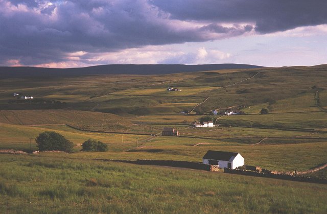
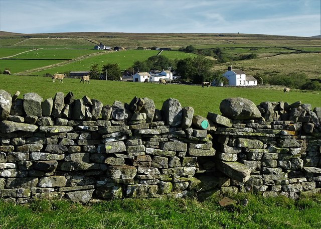
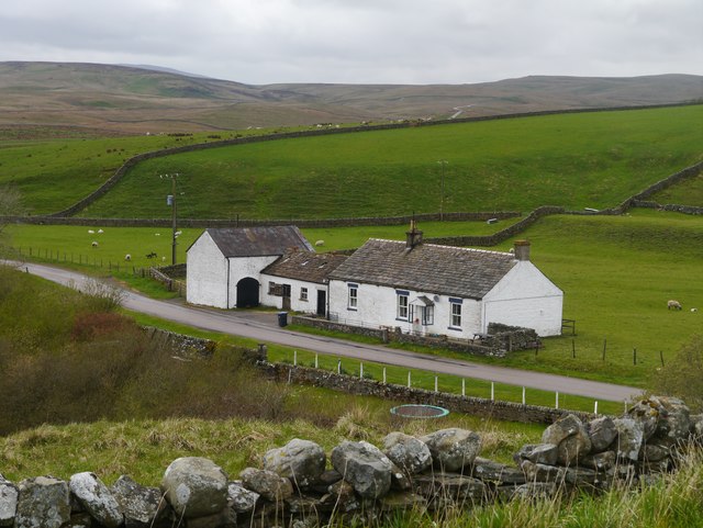
Harwood
- Overview About Harwood Map Street View HARWOOD, a chapelry, in the parish of Middleton-in-Teesdale, union of Teesdale, S. W. division of Darlington ward, S. division of the county of Durham, …
Co-Curate Page
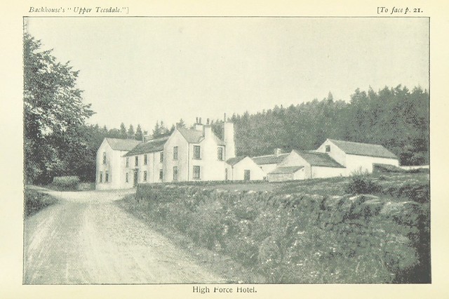
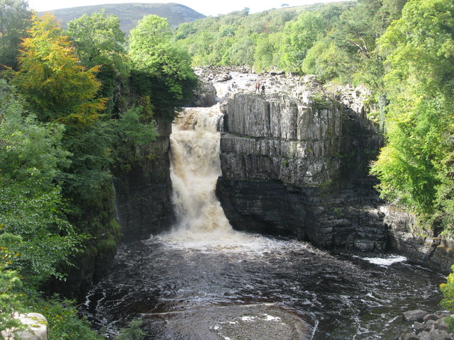
High Force Waterfall
- Overview About High Force Map Street View High Force is a waterfall on the River Tees in Upper Teesdale, located about 4 miles north-west of Middleton-in-Teesdale. The falls drop a …
Co-Curate Page
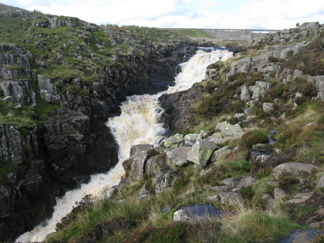
Cauldron Snout, River Tees
- Overview About Cauldron Snout Map Cauldron Snout is a waterfall on the River Tees in Upper Teesdale, located just below the dam of the Cow Green Reservoir, on the boundary between …

from https://keystothepast.info/se…
Local History Forest & Frith (County Durham)
- "The sparse upland landscape of Forest-in-Teesdale and Frith lies above High Force in Upper Teesdale. The parish is mainly moorland spread out between the Tees, to the north, and Lundedale …
Added by
Simon Cotterill

Co-Curate Page
Harwood
- Overview About Harwood Map Street View HARWOOD, a chapelry, in the parish of Middleton-in-Teesdale, union of Teesdale, S. W. division of Darlington ward, S. division of the county of Durham, …
Co-Curate Page
High Force Waterfall
- Overview About High Force Map Street View High Force is a waterfall on the River Tees in Upper Teesdale, located about 4 miles north-west of Middleton-in-Teesdale. The falls drop a …
Co-Curate Page
Cauldron Snout, River Tees
- Overview About Cauldron Snout Map Cauldron Snout is a waterfall on the River Tees in Upper Teesdale, located just below the dam of the Cow Green Reservoir, on the boundary between …
from https://keystothepast.info/se…
Local History Forest & Frith (County Durham)
- "The sparse upland landscape of Forest-in-Teesdale and Frith lies above High Force in Upper Teesdale. The parish is mainly moorland spread out between the Tees, to the north, and Lundedale …
Added by
Simon Cotterill


