Topics > Northumberland > Civil Parishes in Northumberland > Falstone Civil Parish
Falstone Civil Parish
Area: 116.4 km²
Population:
214 (2021 Census)
257 (2011 Census)
252 (2001 Census)
from https://www.falstone.org/
Falstone Parish Council
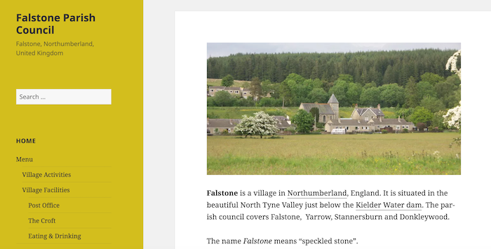
- "Falstone is a village in Northumberland, England. It is situated in the beautiful North Tyne Valley just below the Kielder Water dam. The parish council covers Falstone, Yarrow, Stannersburn and …
Added by
Simon Cotterill
Co-Curate Page
Falstone
- Overview About Falstone Map Street View Falstone is a village in Northumberland, situated by the River North Tyne and 1 mile east of Kielder Water. It is located about 7 …
Co-Curate Page
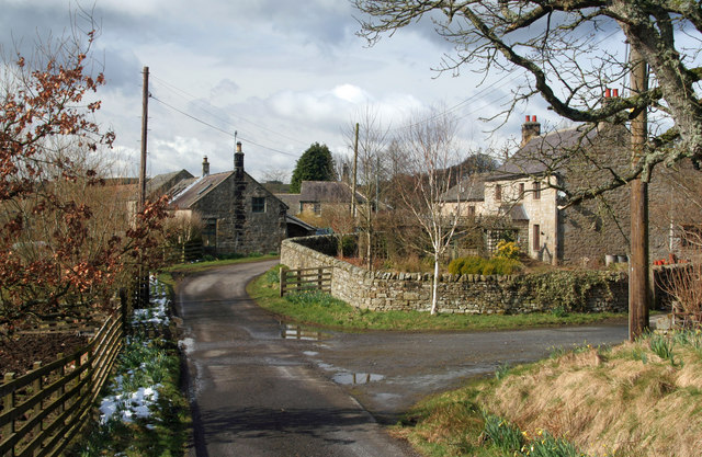
Stannersburn
- Overview Map Street View Stannersburn is a small village in Northumberland located near the south banks of the River North Tyne, near Falstone, on the north bank. Kielder Water is …
Co-Curate Page
Yarrow
- Overview Map Street View Yarrow is a hamlet in Northumberland on the south banks of the River North Tyne. Yarrow is immediately east of Kielder Water and west of Falsone …
Co-Curate Page
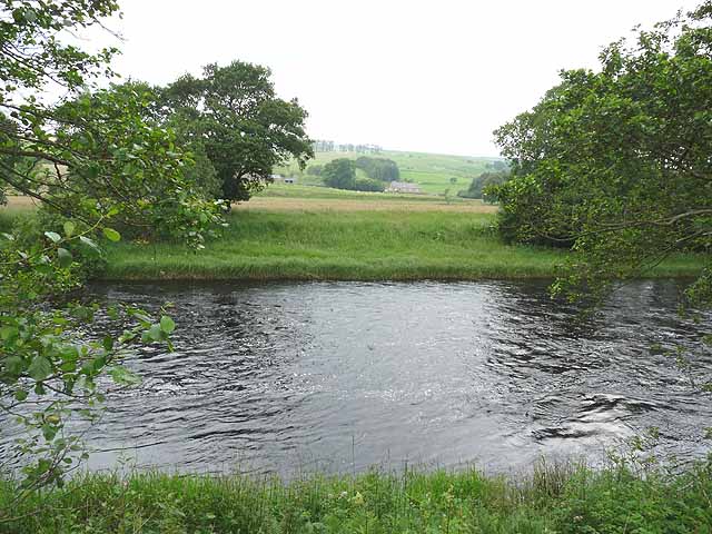
Smalesmouth
- Overview Map Smalesmouth is a hamlet in Northumberland which is located by the conflunce of Smales Burn and the River North Tyne, near Falstone. There was a Romano-British settlement on …

Co-Curate Page
Falstone Parish, 1848
- FALSTONE, a parish, in the union of Bellingham, N. W. division of Tindale ward, S. division of Northumberland, 9½ miles (W.N.W.) from Bellingham, and 25½ (N.W. by N.) from Hexham; …

from http://www.keystothepast.info…
Local history: Falsone
- "Falstone lies in west Northumberland and is high and remote. It is now dominated by Kielder Water reservoir and Kielder Forest. Most of the parish is planted with trees, the …
Added by
Pat Thomson

from https://www.falstone.org/
Falstone Parish Council
- "Falstone is a village in Northumberland, England. It is situated in the beautiful North Tyne Valley just below the Kielder Water dam. The parish council covers Falstone, Yarrow, Stannersburn and …
Added by
Simon Cotterill
Co-Curate Page
Falstone
- Overview About Falstone Map Street View Falstone is a village in Northumberland, situated by the River North Tyne and 1 mile east of Kielder Water. It is located about 7 …
Co-Curate Page
Stannersburn
- Overview Map Street View Stannersburn is a small village in Northumberland located near the south banks of the River North Tyne, near Falstone, on the north bank. Kielder Water is …
Co-Curate Page
Yarrow
- Overview Map Street View Yarrow is a hamlet in Northumberland on the south banks of the River North Tyne. Yarrow is immediately east of Kielder Water and west of Falsone …
Co-Curate Page
Smalesmouth
- Overview Map Smalesmouth is a hamlet in Northumberland which is located by the conflunce of Smales Burn and the River North Tyne, near Falstone. There was a Romano-British settlement on …
Co-Curate Page
Falstone Parish, 1848
- FALSTONE, a parish, in the union of Bellingham, N. W. division of Tindale ward, S. division of Northumberland, 9½ miles (W.N.W.) from Bellingham, and 25½ (N.W. by N.) from Hexham; …
from http://www.keystothepast.info…
Local history: Falsone
- "Falstone lies in west Northumberland and is high and remote. It is now dominated by Kielder Water reservoir and Kielder Forest. Most of the parish is planted with trees, the …
Added by
Pat Thomson


