Topics > Geography > Rivers > River Rede > Elsdon Burn
Elsdon Burn
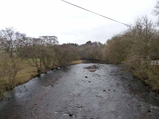
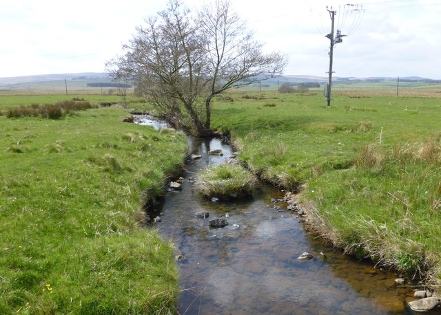
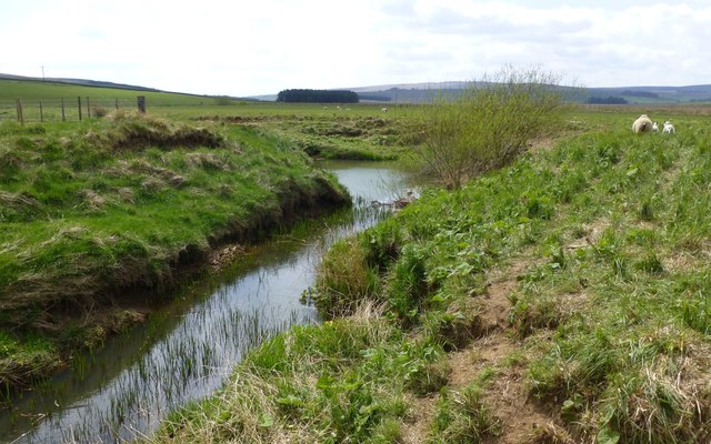
Elsdon Burn is a small river in Northumberland, which is a tributary of the River Rede, which itself flows into the River North Tyne.

from http://environment.data.gov.u…
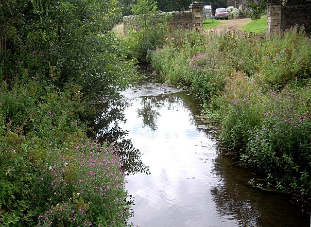
Elsdon Burn lower catchment (Trib of Rede)
Added by
Simon Cotterill
Co-Curate Page
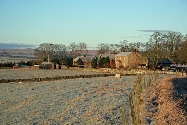
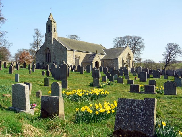
Elsdon
- Overview About Elsdon Map Street View Elsdon is a village in Northumberland, located about 10 miles south-west of Rothbury and 3 miles east of Otterburn. The village grew up around the …
Co-Curate Page
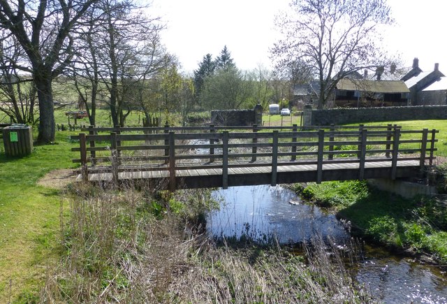
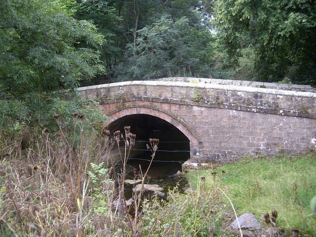
Former Road Bridge over Elsdon Burn
- Overview Map Street View The former road bridge over Elsdon Burn, at the north-end of the village of Elsdon was built in the late 18th or early 19th century.[1] The …

Co-Curate Page
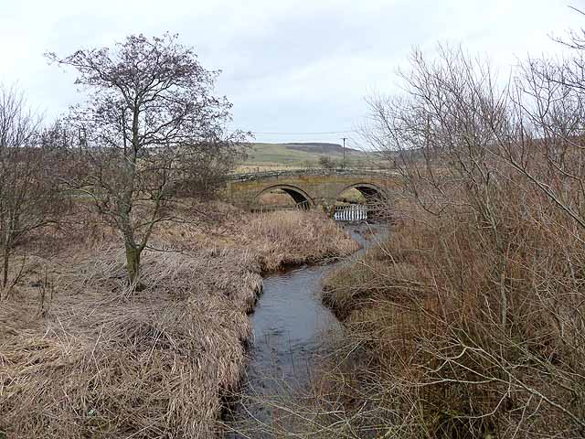
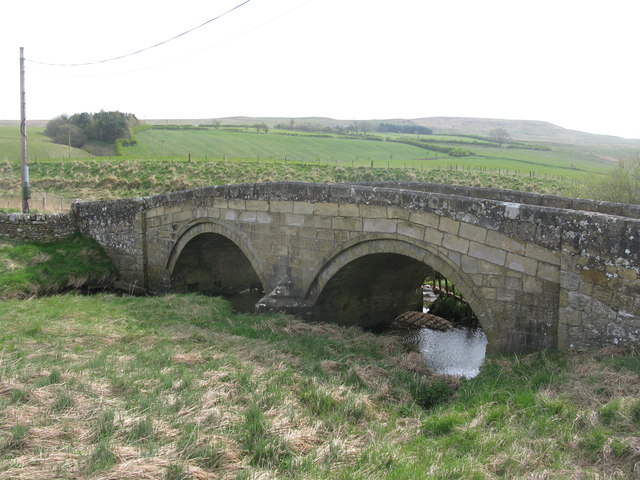
Monkridge Bridge
- Overview Map Street View Bridge carrying the A696 road over Elsdon Burn at Monkridge.

from http://environment.data.gov.u…
Elsdon Burn lower catchment (Trib of Rede)
Added by
Simon Cotterill
Co-Curate Page
Elsdon
- Overview About Elsdon Map Street View Elsdon is a village in Northumberland, located about 10 miles south-west of Rothbury and 3 miles east of Otterburn. The village grew up around the …
Co-Curate Page
Former Road Bridge over Elsdon Burn
- Overview Map Street View The former road bridge over Elsdon Burn, at the north-end of the village of Elsdon was built in the late 18th or early 19th century.[1] The …