Topics > County Durham > Eastgate > Eastgate Bridge over Rookhope Burn
Eastgate Bridge over Rookhope Burn

from https://keystothepast.info/se…
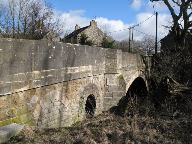
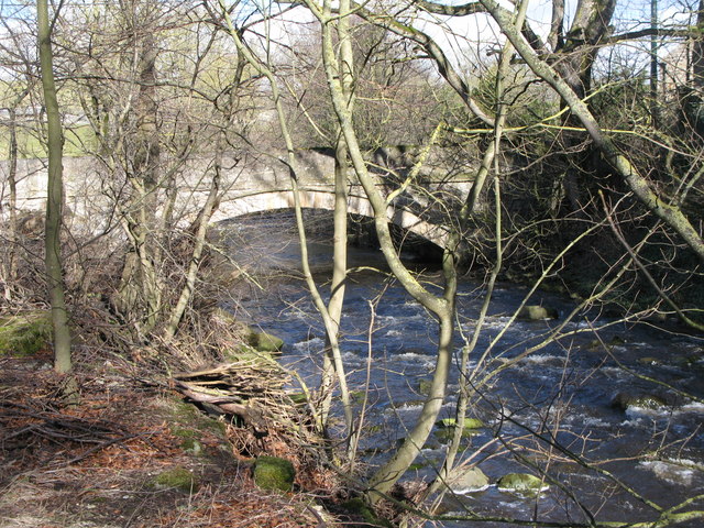
Eastgate Bridge, Eastgate, Stanhope
- "This two-arched stone bridge crosses the Rookhope Burn. Two small arches form the approach to the west, which raises the level of the roadway. Although it has been suggested that …
Added by
Simon Cotterill

from https://historicengland.org.u…
BRIDGE OVER ROOKHOPE BURN - Eastgate - List Entry
- "Bridge. Early C19. Sandstone ashlar. Wide segmental arch, with voussoirs and roll-moulding, at east, and 2 small segmental land arches with voussoirs at west. Central south cutwater; band at road-bed …
Added by
Simon Cotterill
Co-Curate Page
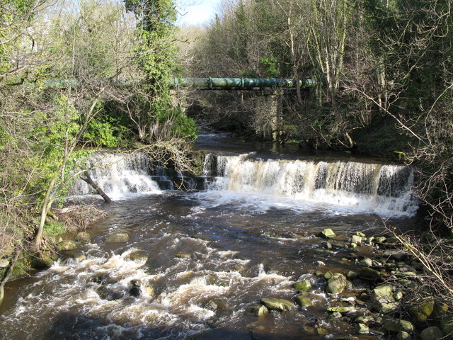
Rookhope Burn
- Rookhope Burn is a major tributary of the River Wear. It is about 4.7 km long, with a catchment area of 36.7 km2.[1] The Burn joins the River Wear at Eastgate.

from https://keystothepast.info/se…
Eastgate Bridge, Eastgate, Stanhope
- "This two-arched stone bridge crosses the Rookhope Burn. Two small arches form the approach to the west, which raises the level of the roadway. Although it has been suggested that …
Added by
Simon Cotterill
from https://historicengland.org.u…
BRIDGE OVER ROOKHOPE BURN - Eastgate - List Entry
- "Bridge. Early C19. Sandstone ashlar. Wide segmental arch, with voussoirs and roll-moulding, at east, and 2 small segmental land arches with voussoirs at west. Central south cutwater; band at road-bed …
Added by
Simon Cotterill
Co-Curate Page
Rookhope Burn
- Rookhope Burn is a major tributary of the River Wear. It is about 4.7 km long, with a catchment area of 36.7 km2.[1] The Burn joins the River Wear at Eastgate.

List number: 1231376
List grade: 2
County: County Durham
Keys to the Past HER: D2310
Grid ref: NY9524538740
List grade: 2
County: County Durham
Keys to the Past HER: D2310
Grid ref: NY9524538740


