Topics > County Durham > Dipton
Dipton
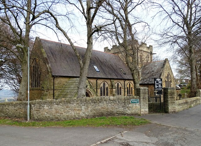
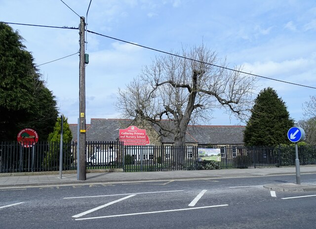
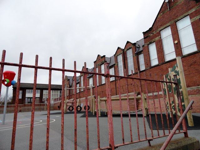
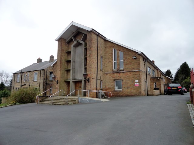
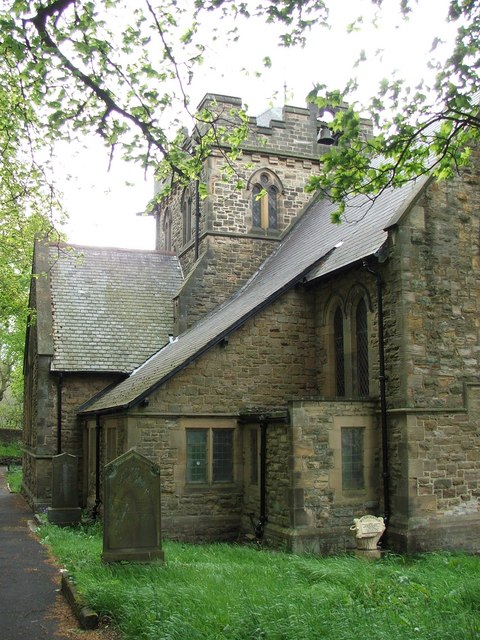
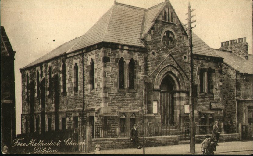
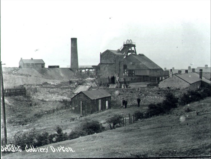
Dipton is a village in County Durham, located about 2½ miles north-west of Consett and 1½ miles south-west of Burnopfield. Historically, Dipton was part of the township of Collierly within the ancient parish of Lanchester. The village grew in association with coal mining and subsumed the mining hamlets, Dipton, Collierley Dykes and Pontop. In the 18th and 19th centuries, several coal mines were established in the area, including Pontop Pyke Colliery which was first established in 1743; there had also been lead mining in the area. As the population grew, Dipton became an ecclesiastical (Church of England) parish in 1883; St John's Parish Church was built in 1886. There were also 3 Methodist chapels at different times in Dipton. St Patricks Catholic Church was established in 1907. Today, there are two schools in Dipton; Colliery Nursery and Primary School and St Patrick's Catholic Primary School. Dipton Jubilee Centre (community centre) has a history dating back to 1935.
from Geograph (geograph)
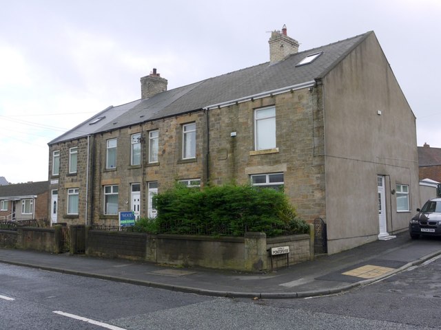
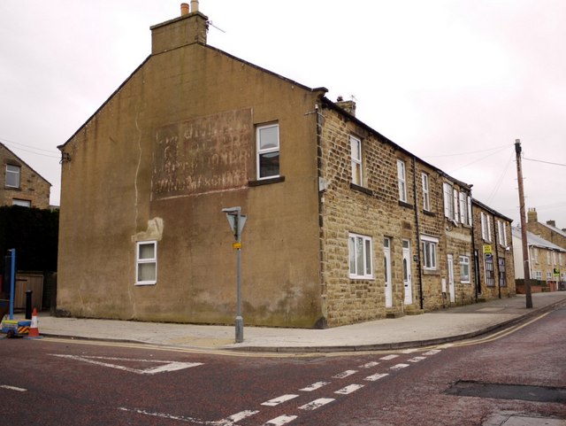
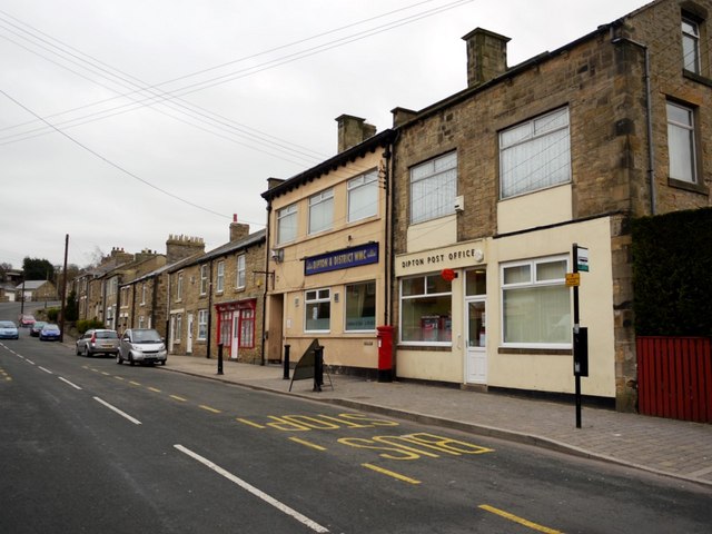
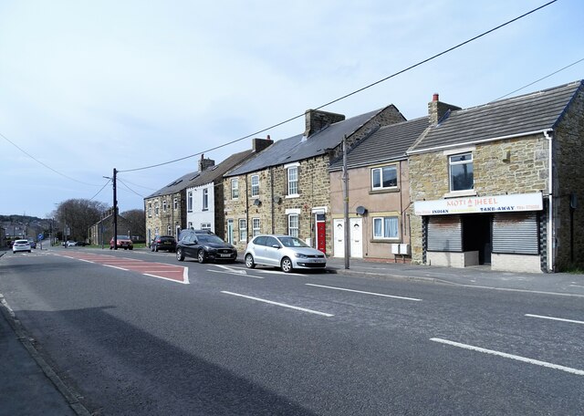
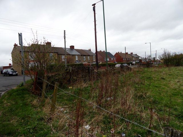
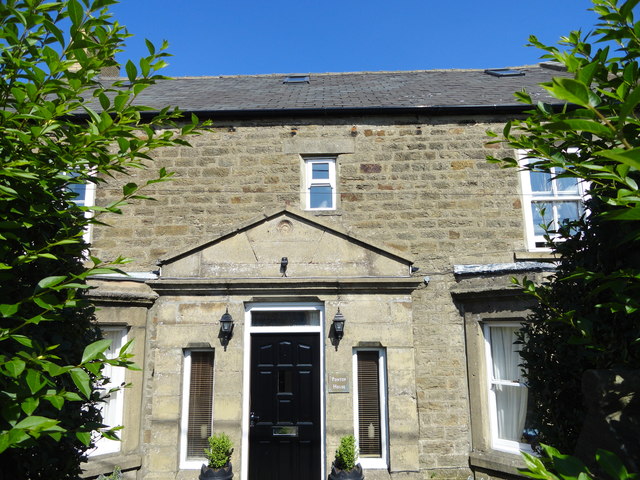
Front Street, Dipton from junction with Co-operative Terrace
Pinned by Simon Cotterill

from Youtube (youtube)
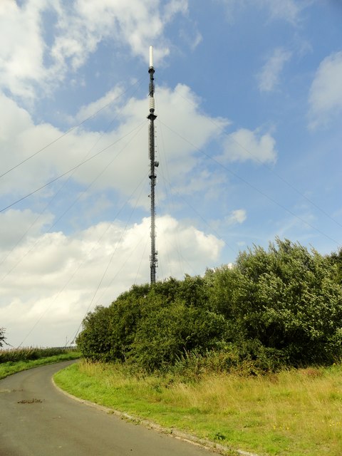
Pontop Pike - Dipton - County Durham - Derwentside - Drone HD
Pinned by Simon Cotterill

from Youtube (youtube)
Dipton County Durham : DJi Phantom Vision 2 plus Drone
Pinned by Simon Cotterill
from Geograph (geograph)
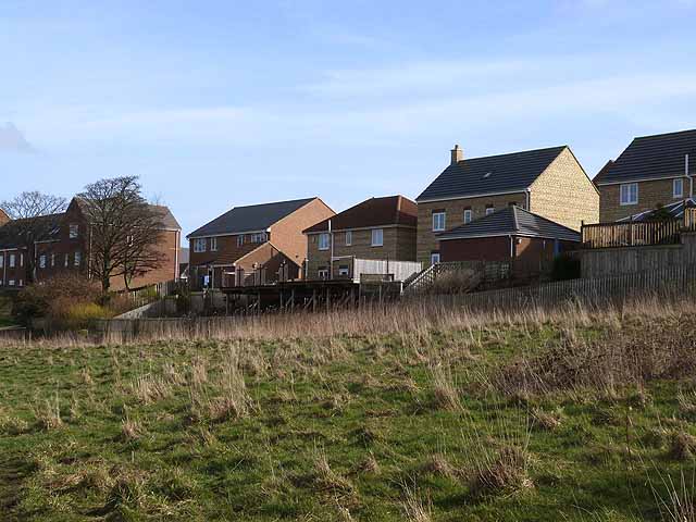
An outbreak of decking at Lily Gardens, Flint Hill
Pinned by Simon Cotterill

from http://www.dmm.org.uk/collier…
Pontop Pike Colliery
- aka West Pontop Colliery
Added by
Simon Cotterill

from Geograph (geograph)
Front Street, Dipton from junction with Co-operative Terrace
Pinned by Simon Cotterill
from Youtube (youtube)
Pontop Pike - Dipton - County Durham - Derwentside - Drone HD
Pinned by Simon Cotterill
from Youtube (youtube)
Dipton County Durham : DJi Phantom Vision 2 plus Drone
Pinned by Simon Cotterill
from Geograph (geograph)
An outbreak of decking at Lily Gardens, Flint Hill
Pinned by Simon Cotterill
from http://www.dmm.org.uk/collier…
Pontop Pike Colliery
- aka West Pontop Colliery
Added by
Simon Cotterill