Topics > Cumbria > Lake District > Derwent Water (Lake District)
Derwent Water (Lake District)
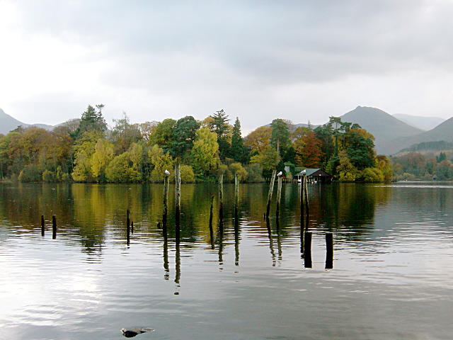
Derwentwater, or Derwent Water, is one of the principal bodies of water in the Lake District National Park in north west England. It lies wholly within the Borough of Allerdale, in the county of Cumbria.
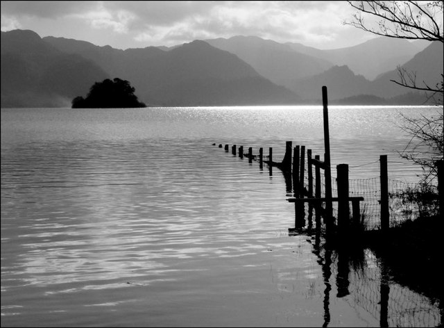
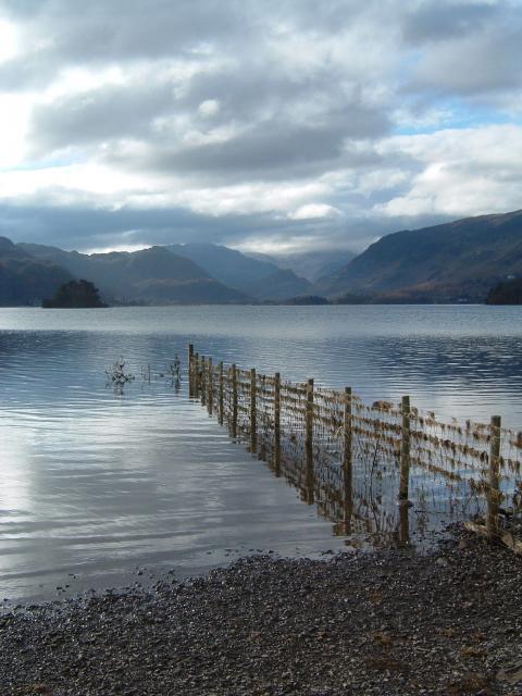
The lake occupies part of Borrowdale and lies immediately south of the town of Keswick. It is both fed and drained by the River Derwent. It measures approximately long by wide and is some deep. There are several islands within the lake, one of which is inhabited. Derwent Island House, an 18th-century residence, is a tenanted National Trust property open to the public on five days each year.
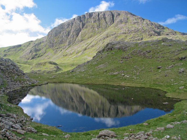
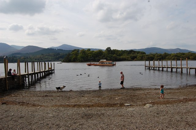
Derwentwater is a place of considerable scenic value. It is surrounded by hills (known locally as fells), and many of the slopes facing Derwentwater are extensively wooded. A regular passenger launch operates on the lake, taking passengers between various landing stages. There are seven lakeside marinas, the most popular stops being Keswick, Portinscale and the Lodore Falls, from which boats may be hired. Recreational walking is a major tourist activity in the area and there is an extensive network of footpaths in the hills and woods surrounding the lake.
The Keswick—Borrowdale road runs along the eastern shore of the lake and carries a regular bus service. There is a lesser, or unclassified, road along the western shore connecting the villages of Grange and Portinscale.
Derwentwater gave its name to the Earldom of Derwentwater.
The lake is believed to be the last remaining native habitat of the vendace (Coregonus vandesius) fish from the four originally known sites: Bassenthwaite Lake and Derwentwater in the Lake District, and the Castle Loch & Mill Loch in Lochmaben.
Etymology
'Derwent' is " '(River) with oak trees', traditionally explained from Brit." (i.e.: Brythonic Celtic) or Cymric Old Welsh, hence Cymria " 'derwā' 'oak' plus suffixes, hence of the same origin as other English rivers named Derwent, Darwen, Darent and Dart...The river gave its name to Derwent Water (which was also known as the 'Lake of Derwent', 'Keswick Lake', or 'Keswick Water' in the 18th-19th centuries)...".
Plus "OE 'wæter', with the meaning probably influenced by its ON relative 'vatn'."
Derwentwater's islands
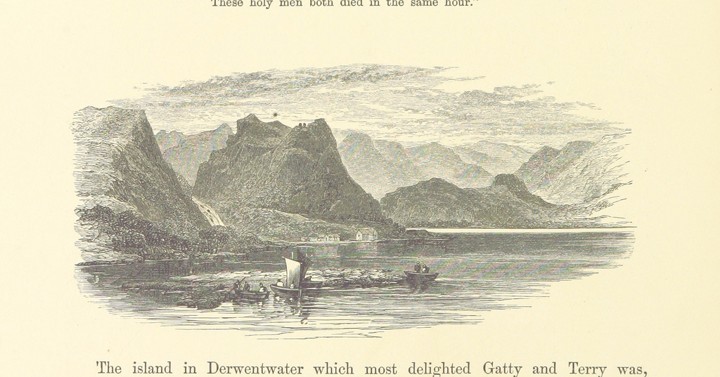
There are numerous islands in Derwentwater, the largest being Derwent Island, Lord's Island, St Herbert's Island, Rampsholme Island, Park Neb, Otter Island, and Otterbield Island. St. Herbert's Island is named after a C. 7th priest hermit, St. Herbert of Derwentwater.
In popular culture
An edited panoramic photograph of Derwentwater from the town of Keswick forms the view of the titular town and Toluca Lake at the start of the 2001 video game Silent Hill 2.
Star Wars Episode VII: The Force Awakens filmed on location at Derwentwater for the scene "Approach to Maz Kantana's Castle, Takodana".
The EP Three Songs (2011) by Robin Pecknold includes a song named "Derwentwater Stones".
A photograph taken at Derwentwater is used as the album art for Black Sands by Bonobo.
Open world racing video game Forza Horizon 4 includes Derwentwater as part of its world map.
Visit the page: Derwentwater for references and further details. You can contribute to this article on Wikipedia.
from Flickr (flickr)
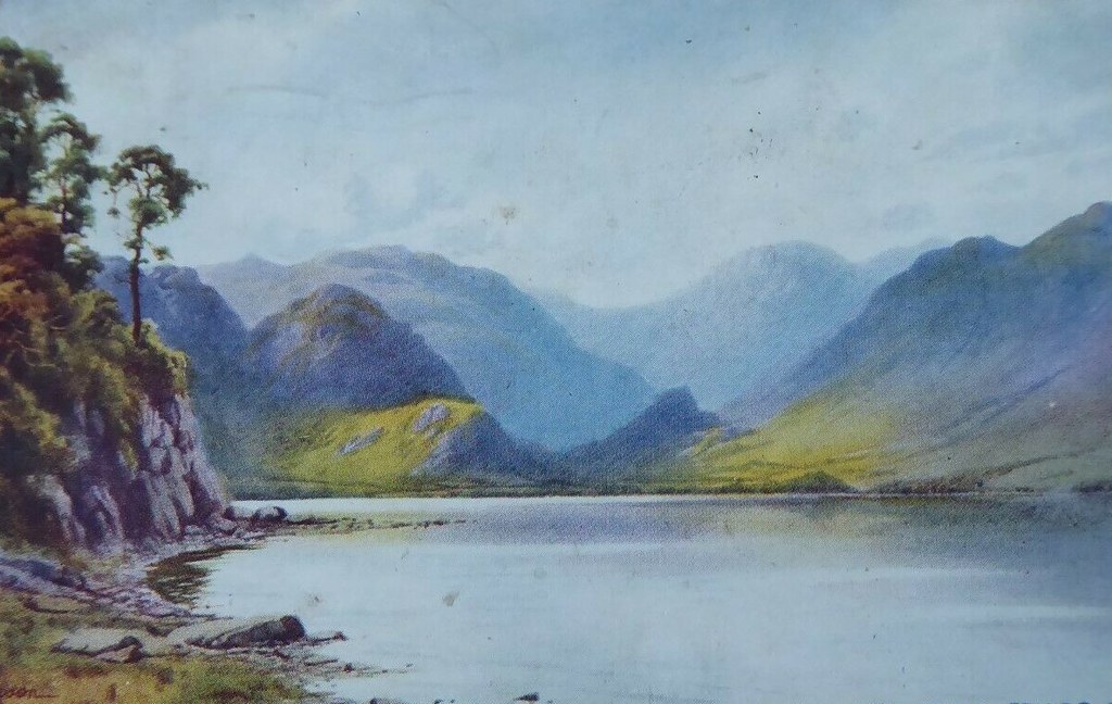
Image taken from page 38 of 'The Lakes in Sunshine: being photographic and other pictures of the Lake District of Westmoreland and North Lancashire. With descriptive letterpress by J. P'
Pinned by Simon Cotterill
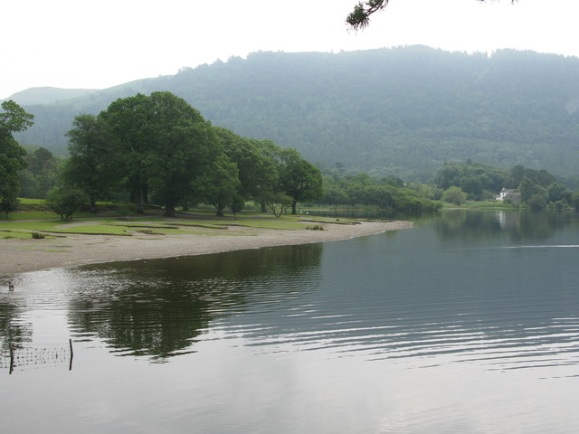
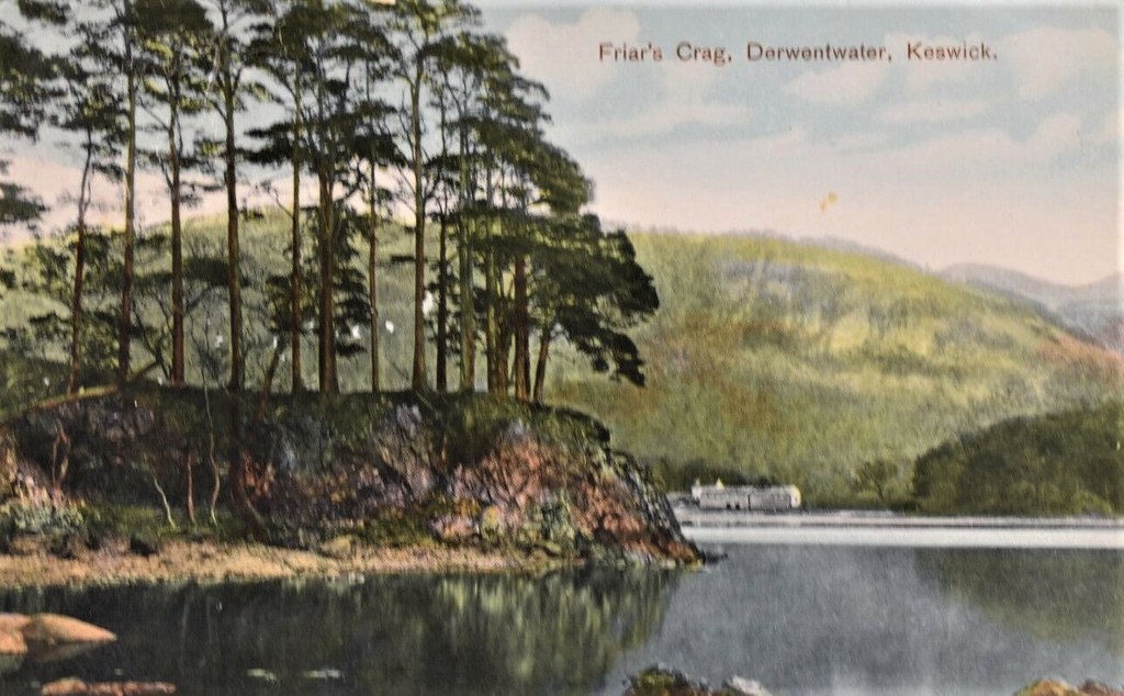
from Geograph (geograph)
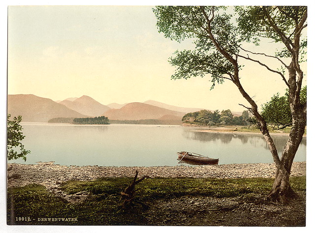
View South across Derwent water from the side of Friars Crag.
Pinned by Simon Cotterill
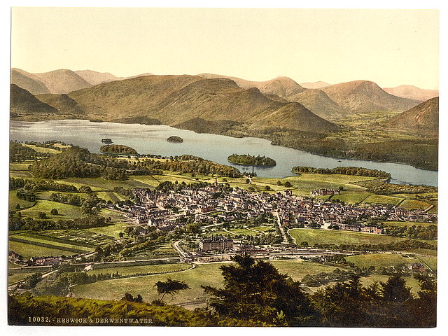
from Flickr (flickr)
[Derwentwater and Keswick, Lake District, England] (LOC)
Pinned by Simon Cotterill
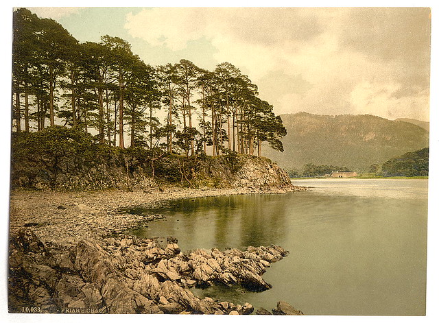
from Flickr (flickr)
[Derwentwater and Keswick, Friars' Crag, Lake District, England] (LOC)
Pinned by Simon Cotterill
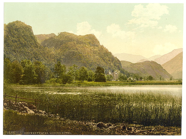
from Flickr (flickr)
[Derwentwater, Lodore Hotel, Waterlily Bay, Lake District, England] (LOC)
Pinned by Simon Cotterill
from Flickr (flickr)
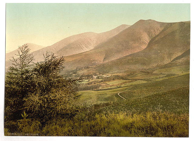
[Derwentwater, Skiddaw, from Latrigg, Lake District, England] (LOC)
Pinned by Simon Cotterill
from Flickr (flickr)
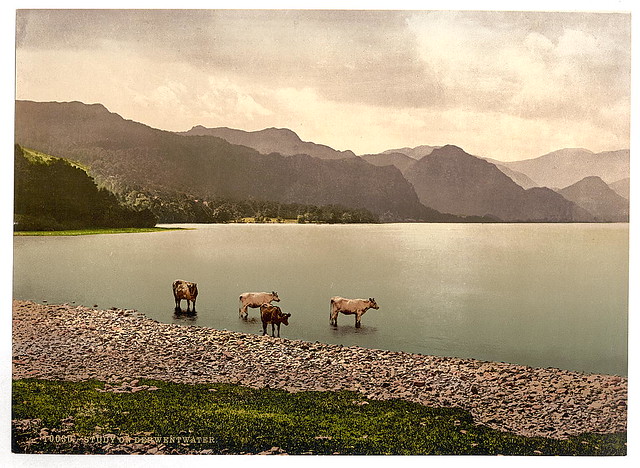
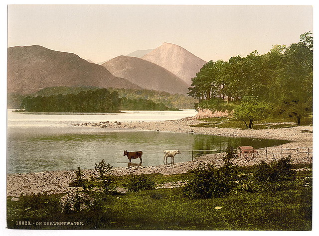
[On Derwentwater, cattle study, Lake District, England] (LOC)
Pinned by Simon Cotterill
from Flickr (flickr)
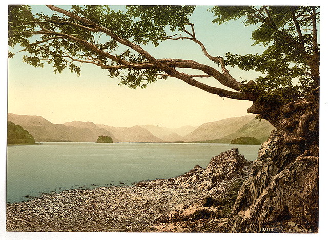
[Derwentwater, Keswick, from Friars' Crag, Lake District, England] (LOC)
Pinned by Simon Cotterill
from Flickr (flickr)
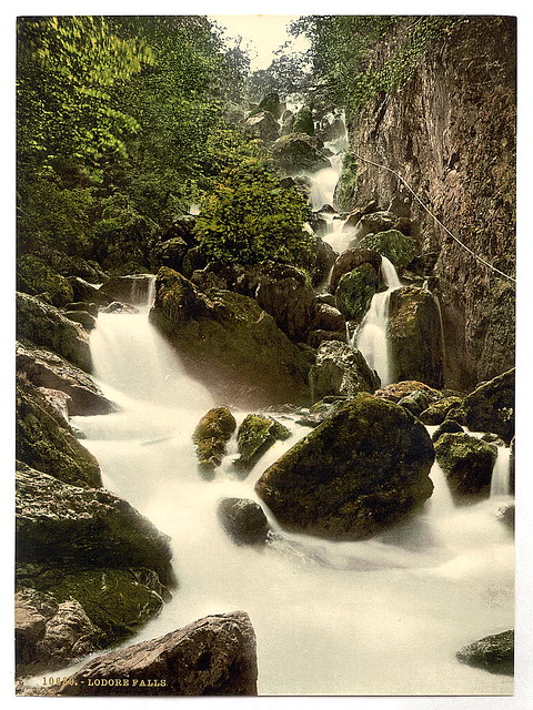
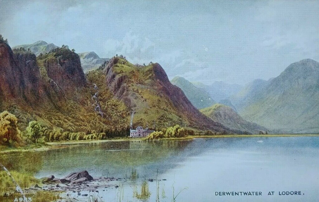
[Derwentwater, Lodore Falls, Lake District, England] (LOC)
Pinned by Simon Cotterill
from Flickr (flickr)
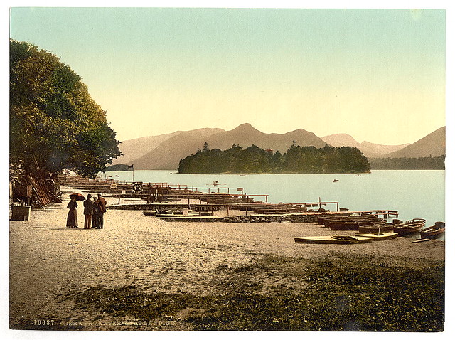
[On Derwentwater, boat landing, Lake District, England] (LOC)
Pinned by Simon Cotterill
from Flickr (flickr)
[Derwentwater, Scarfclose Bay, Lake District, England] (LOC)
Pinned by Simon Cotterill
from Flickr (flickr)
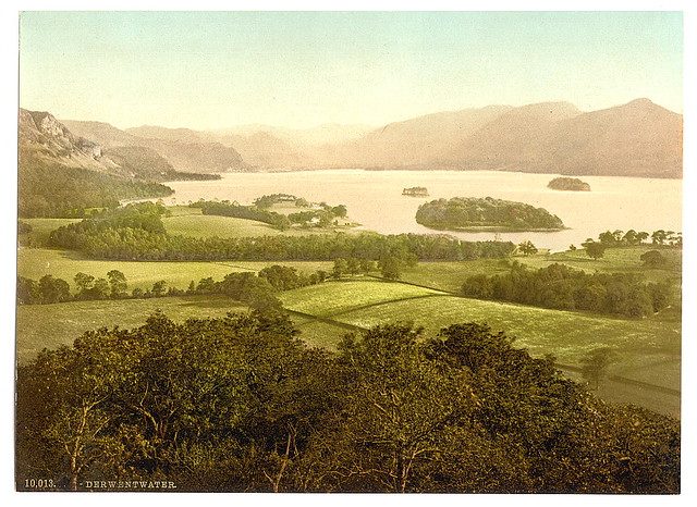
[Derwentwater, from Castle Hill, Lake District, England] (LOC)
Pinned by Simon Cotterill
from Flickr (flickr)
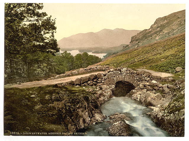
[Derwentwater, Ashness Bridge and Skiddaw, Lake District, England] (LOC)
Pinned by Simon Cotterill
from Flickr (flickr)
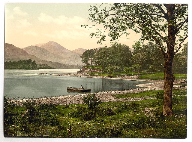
[On Derwentwater, Broomhill Point, Lake District, England] (LOC)
Pinned by Simon Cotterill
from Flickr (flickr)
[On Derwentwater, cattle study, Lake District, England] (LOC)
Pinned by Simon Cotterill
Co-Curate Page
River Derwent (Cumbria)
- Overview About the River Derwent The River Derwent is a major river in Cumbria. It is formed by the confluence of Styhead Gill and Grains Gill at the southern end …
Co-Curate Page
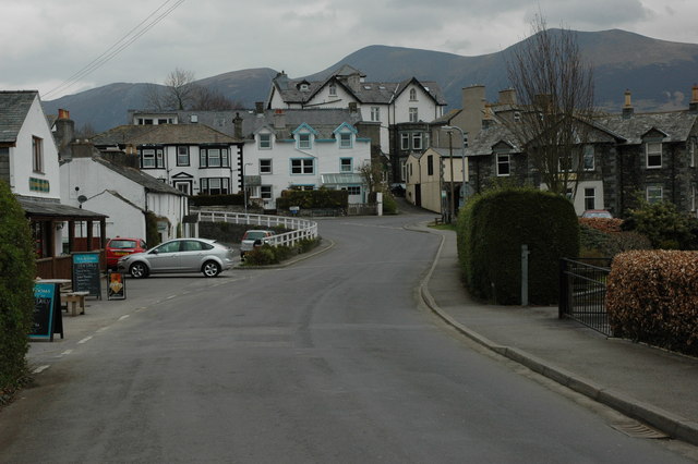
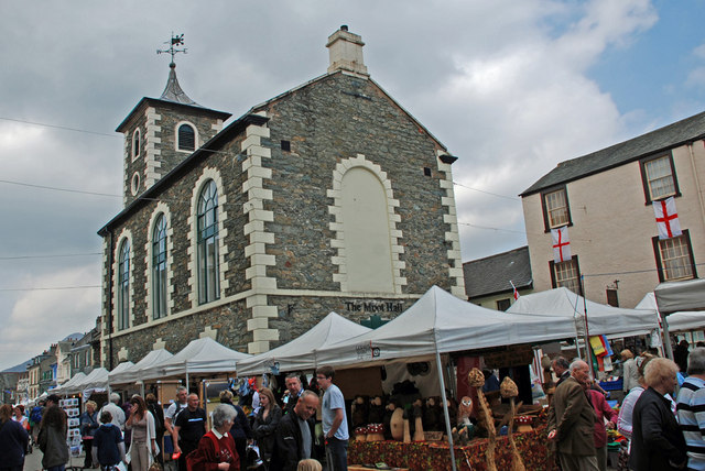
Keswick
- Overview About Keswick Map Street View Keswick is an historic market town in Cumbria, located in the Lake District National Park. The town is on the River Greta, and is …
from Flickr (flickr)
Slide copies, September 2003, Derwentwater, Lake District
Pinned by Pat Thomson
from Flickr (flickr)
Slide copies, September 2003, Derwentwater, Lake District
Pinned by Pat Thomson
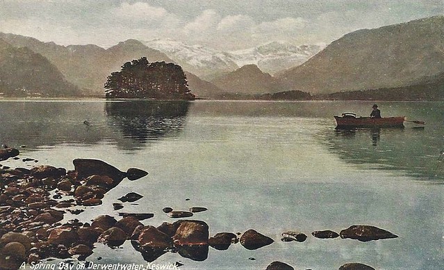
from Flickr (flickr)
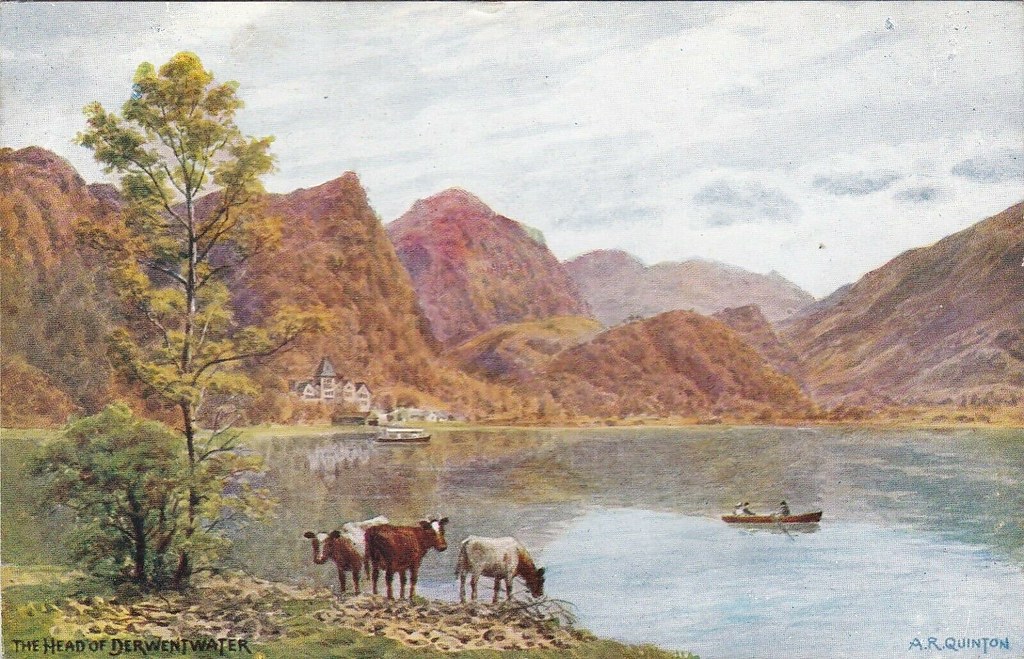
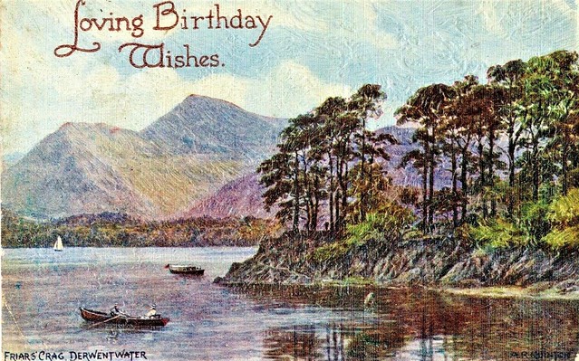
Artist Drawn, The Head Of Derwentwater, BORROWDALE, Cumberland - A. R. Quinton
Pinned by Peter Smith
from Flickr (flickr)
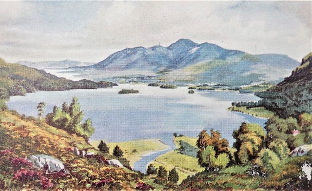
Cumbria Postcard - Derwentwater and Skiddaw - Art Colour RS20529
Pinned by Peter Smith
from Flickr (flickr)
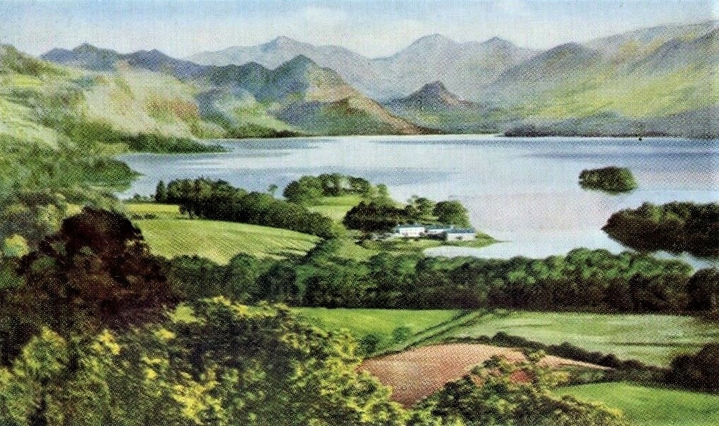
Cumbria postcard - Derwentwater from Castle Head by artist E H Thompson (A196)
Pinned by Peter Smith
from Flickr (flickr)
Cumbria postcard - Friar's Crag, Derwentwater by artist E H Thompson (A201)
Pinned by Peter Smith
from Flickr (flickr)
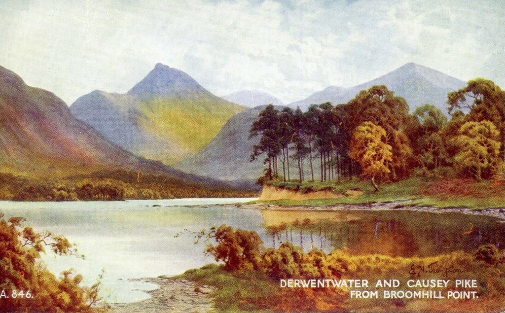
DERWENTWATER and CAUSEY PIKE)..( VALENTINE`S VINTAGE BLANK UNWRITTEN POSTCARD
Pinned by Peter Smith
from Flickr (flickr)
DERWENTWATER FROM CASTLEHEAD, KESWICK. -f¹- VINTAGE POSTED CARD 1955
Pinned by Peter Smith
from Flickr (flickr)
Derwentwater from Friars Crag Art Colour E H Thompson Postcard A292 posted
Pinned by Peter Smith
from Flickr (flickr)
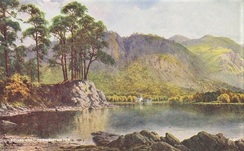
FRIARS CRAG DERWENTWATER KESWICK CLARKS SERIES POSTED 1910
Pinned by Peter Smith
from Flickr (flickr)
Friars Crag, Derwentwater, Keswick; Lake District; 1905 Levenshulme postmark
Pinned by Peter Smith
from Flickr (flickr)
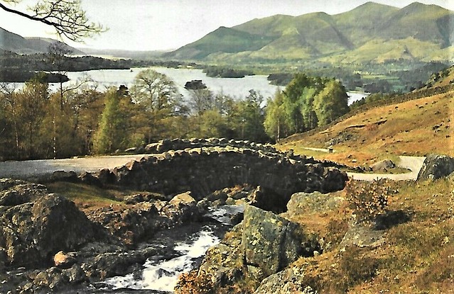
Vintage Ashness Bridge Derwentwater Keswick colour postcard The English Lakes
Pinned by Peter Smith
from Flickr (flickr)
Watercolour Picture Postcard - Derwentwater & Skiddaw, Keswick.
Pinned by Peter Smith
from Flickr (flickr)
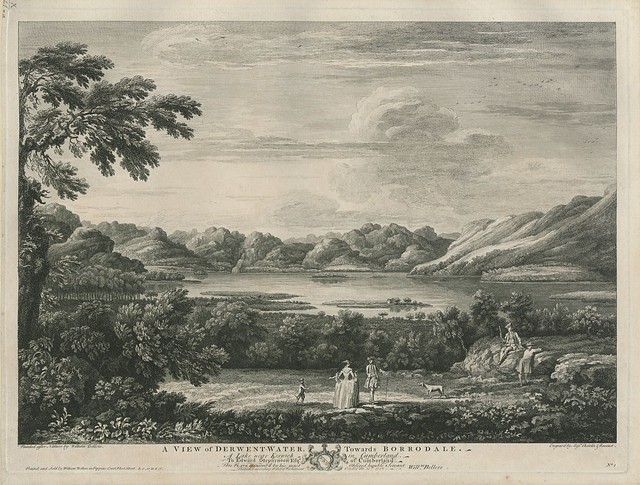
The BL King’s Topographical Collection: "A VIEW of DERWENT-WATER, Towards BORRODALE. A Lake near Keswick in Cumberland. "
Pinned by Simon Cotterill
from Flickr (flickr)
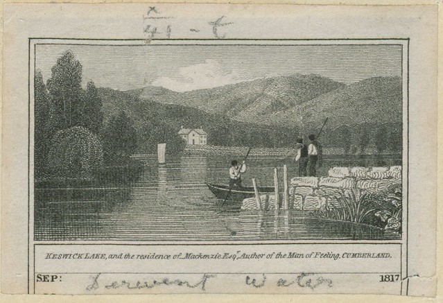
The BL King’s Topographical Collection: "KESWICK LAKE, and the residence of Mackenzie Esqr., Author of the Man of Feeling. CUMBERLAND."
Pinned by Simon Cotterill
Co-Curate Page
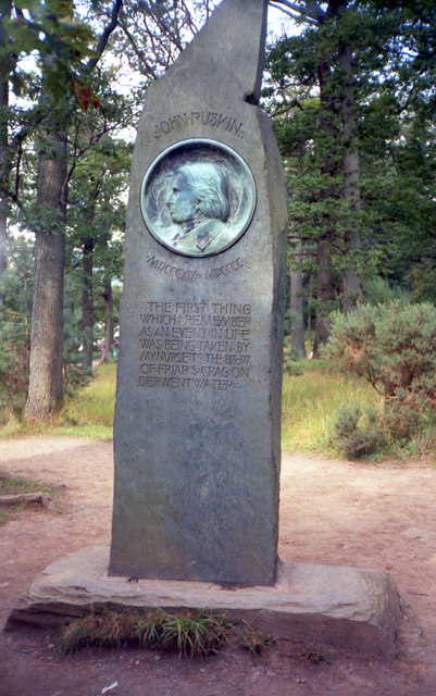
Ruskin Memorial, Friar's Crag
- Overview Map Street View This memorial for the Victorian visionary, John Ruskin (1819 - 1900), is located on Friar's Crag, by the east shore of Derwentwater, about ½ mile south-east …


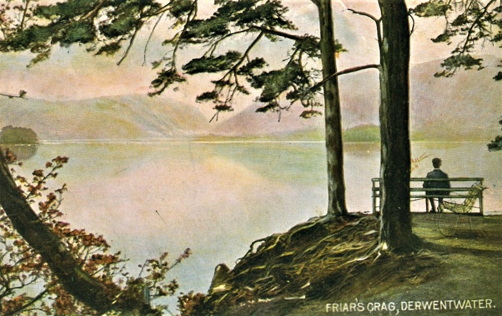
from Flickr (flickr)
A.R.Quinton postcard, Cumbria, Derwent Water, Friar's Crag card1198
Pinned by Edmund Anon


from Flickr (flickr)
Image taken from page 38 of 'The Lakes in Sunshine: being photographic and other pictures of the Lake District of Westmoreland and North Lancashire. With descriptive letterpress by J. P'
Pinned by Simon Cotterill
from Geograph (geograph)
View South across Derwent water from the side of Friars Crag.
Pinned by Simon Cotterill
from Flickr (flickr)
[Derwentwater and Keswick, Lake District, England] (LOC)
Pinned by Simon Cotterill
from Flickr (flickr)
[Derwentwater and Keswick, Friars' Crag, Lake District, England] (LOC)
Pinned by Simon Cotterill
from Flickr (flickr)
[Derwentwater, Lodore Hotel, Waterlily Bay, Lake District, England] (LOC)
Pinned by Simon Cotterill
from Flickr (flickr)
[Derwentwater, Skiddaw, from Latrigg, Lake District, England] (LOC)
Pinned by Simon Cotterill
from Flickr (flickr)
[On Derwentwater, cattle study, Lake District, England] (LOC)
Pinned by Simon Cotterill
from Flickr (flickr)
[Derwentwater, Keswick, from Friars' Crag, Lake District, England] (LOC)
Pinned by Simon Cotterill
from Flickr (flickr)
[Derwentwater, Lodore Falls, Lake District, England] (LOC)
Pinned by Simon Cotterill
from Flickr (flickr)
[On Derwentwater, boat landing, Lake District, England] (LOC)
Pinned by Simon Cotterill
from Flickr (flickr)
[Derwentwater, Scarfclose Bay, Lake District, England] (LOC)
Pinned by Simon Cotterill
from Flickr (flickr)
[Derwentwater, from Castle Hill, Lake District, England] (LOC)
Pinned by Simon Cotterill
from Flickr (flickr)
[Derwentwater, Ashness Bridge and Skiddaw, Lake District, England] (LOC)
Pinned by Simon Cotterill
from Flickr (flickr)
[On Derwentwater, Broomhill Point, Lake District, England] (LOC)
Pinned by Simon Cotterill
from Flickr (flickr)
[On Derwentwater, cattle study, Lake District, England] (LOC)
Pinned by Simon Cotterill
Co-Curate Page
River Derwent (Cumbria)
- Overview About the River Derwent The River Derwent is a major river in Cumbria. It is formed by the confluence of Styhead Gill and Grains Gill at the southern end …
Co-Curate Page
Keswick
- Overview About Keswick Map Street View Keswick is an historic market town in Cumbria, located in the Lake District National Park. The town is on the River Greta, and is …
from Flickr (flickr)
Slide copies, September 2003, Derwentwater, Lake District
Pinned by Pat Thomson
from Flickr (flickr)
Slide copies, September 2003, Derwentwater, Lake District
Pinned by Pat Thomson
from Flickr (flickr)
Artist Drawn, The Head Of Derwentwater, BORROWDALE, Cumberland - A. R. Quinton
Pinned by Peter Smith
from Flickr (flickr)
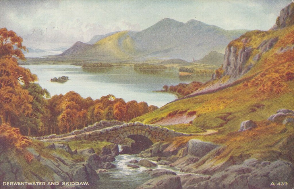
Cumbria Postcard - Derwentwater and Skiddaw - Art Colour RS20529
Pinned by Peter Smith
from Flickr (flickr)
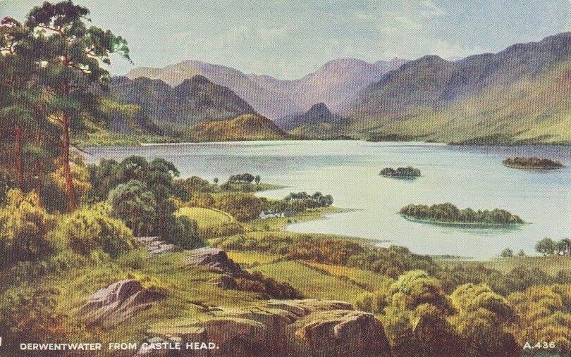
Cumbria postcard - Derwentwater from Castle Head by artist E H Thompson (A196)
Pinned by Peter Smith
from Flickr (flickr)
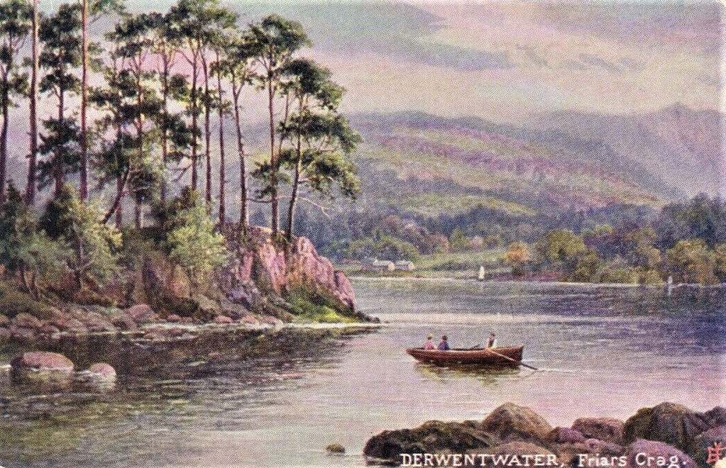
Cumbria postcard - Friar's Crag, Derwentwater by artist E H Thompson (A201)
Pinned by Peter Smith
from Flickr (flickr)
DERWENTWATER and CAUSEY PIKE)..( VALENTINE`S VINTAGE BLANK UNWRITTEN POSTCARD
Pinned by Peter Smith
from Flickr (flickr)
DERWENTWATER FROM CASTLEHEAD, KESWICK. -f¹- VINTAGE POSTED CARD 1955
Pinned by Peter Smith
from Flickr (flickr)
Derwentwater from Friars Crag Art Colour E H Thompson Postcard A292 posted
Pinned by Peter Smith
from Flickr (flickr)
FRIARS CRAG DERWENTWATER KESWICK CLARKS SERIES POSTED 1910
Pinned by Peter Smith
from Flickr (flickr)
Friars Crag, Derwentwater, Keswick; Lake District; 1905 Levenshulme postmark
Pinned by Peter Smith
from Flickr (flickr)
Vintage Ashness Bridge Derwentwater Keswick colour postcard The English Lakes
Pinned by Peter Smith
from Flickr (flickr)
Watercolour Picture Postcard - Derwentwater & Skiddaw, Keswick.
Pinned by Peter Smith
from Flickr (flickr)
The BL King’s Topographical Collection: "A VIEW of DERWENT-WATER, Towards BORRODALE. A Lake near Keswick in Cumberland. "
Pinned by Simon Cotterill
from Flickr (flickr)
The BL King’s Topographical Collection: "KESWICK LAKE, and the residence of Mackenzie Esqr., Author of the Man of Feeling. CUMBERLAND."
Pinned by Simon Cotterill
Co-Curate Page
Ruskin Memorial, Friar's Crag
- Overview Map Street View This memorial for the Victorian visionary, John Ruskin (1819 - 1900), is located on Friar's Crag, by the east shore of Derwentwater, about ½ mile south-east …
from Flickr (flickr)
A.R.Quinton postcard, Cumbria, Derwent Water, Friar's Crag card1198
Pinned by Edmund Anon